Knaresborough in the Domesday Book (1086)
The 1086 Domesday survey records the settlement of Knaresborough, entered under the hundred of Burghshire in Yorkshire. The survey assessed Knaresborough at 10 carucates of taxable land.
At the time of the survey, Knaresborough supported a recorded population of 5 villagers, 8 smallholders, 2 slaves, 1 freeman, working 2 ploughs between them.
The drop in value is hard to miss. Before 1066, Knaresborough was worth 2.85 shillings; by 1086 that had dropped to 1.9 shillings – a fall of 33%. Most Yorkshire villages that lost value on this scale were swept up in the Harrying of the North – William’s scorched-earth campaign of 1069–70.
The survey lists 5 manors at Knaresborough under different lords. Splitting a single settlement between multiple tenants was common across the North – Saxon estates broken up and handed to William’s followers after 1066.
Resources Recorded at Knaresborough (1086)
- Meadow: 0.5 ploughs
Other Settlements in Burghshire
- Addlethorpe
- Aismunderby
- Aldfield
- Allerton [Mauleverer]
- Arkendale
- Askwith
- Azerley
- Barrowby [Grange]
- Beckwith [House]
- Besthaim
- Bestham
- Bewerley
- Bilton
- Birstwith
The Meaning of the Name
The name Knaresborough is of Anglo-Saxon origin. Its final element derives from the Old English word burh, a fortified place. The first element is most likely a personal name or an early descriptive term, now difficult to recover with certainty. Taken together the name probably meant something close to ‘a stronghold’.
Remarkably, the name has changed little since 1086, when the Domesday scribes wrote it as Knaresborough.
Listed Buildings Near Knaresborough
Historic England records 191 listed buildings within about a mile of Knaresborough. Listing protects structures of special architectural or historic interest, graded I (exceptional), II* (particularly important) and II.
Grade I
- Chapel of Our Lady of the Crag - 0.47 km
Grade II*
Grade II
- Rose Cottage, to Rear of no 5 - 0.48 km
- Fort Montague With Attached Wall to West - 0.48 km
- 27, York Place - 0.51 km
- Fysche Hall - 0.51 km
- 41, 43 and 45, Windsor Lane and 16 and 18, Iles Lane - 0.52 km
- 2, ILES LANE (See details for further address information) - 0.53 km
- Windsor House - 0.53 km
- 24, York Place - 0.54 km
- Four Quarters Shipton House - 0.58 km
- Church of the Holy Trinity - 0.58 km
- York House With Railings to Forecourt - 0.58 km
- 8,10, York Place - 0.59 km
- Newton House - 0.59 km
- Newton House Hotel - 0.6 km
- Oakfiled House - 0.61 km
- March House - 0.61 km
- Low Bridge Over River Nidd - 0.61 km
- 3, York Place - 0.62 km
- Swadford House - 0.62 km
- 108, Briggate - 0.62 km
- 110, Briggate - 0.62 km
- 3, Gracious Street - 0.62 km
…and 167 more listed structures in the area.
Scheduled Monuments Near Knaresborough
Scheduled monuments are nationally important archaeological sites given legal protection. 3 lie within roughly a mile of Knaresborough:
- St Robert’s Cave medieval hermitage, 90m north of Plumpton Mill Farm - 0.63 km
- Knaresborough Castle - 0.81 km
- High Bridge - 1.27 km
Knaresborough Today
Today Knaresborough lies within the administrative area of Harrogate, and the settlement recorded a population of 15,718 at the 2021 census. Nine and a half centuries separate that figure from the small rural community the Domesday survey recorded here in 1086.
Read more about modern Knaresborough on Wikipedia .
Nearby Domesday Settlements
Other places recorded in the 1086 survey within a few miles:
- Plompton Hall - 2.0 km S
- Rudfarlington - 2.2 km SW
- Scriven - 2.2 km NW
- Goldsborough - 3.0 km E
- Great Braham - 4.0 km S
- Little Braham - 4.0 km S
Heritage Around Knaresborough
Photographs of churches, listed buildings and monuments in the vicinity, contributed by volunteers to the Geograph project and reused here under a Creative Commons licence.
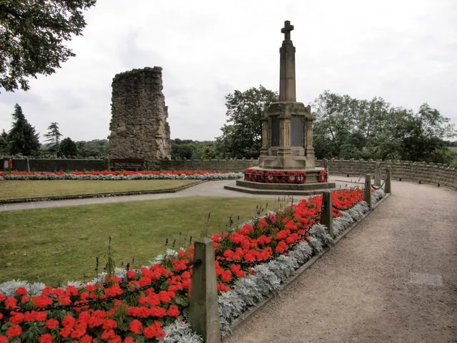
© R J McNaughton · Geograph · CC BY-SA 2.0
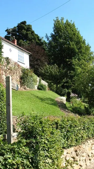
© Gordon Hatton · Geograph · CC BY-SA 2.0
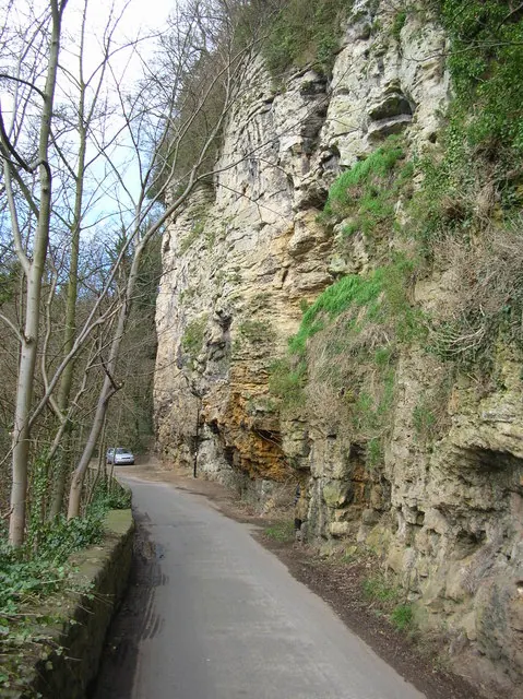
© DS Pugh · Geograph · CC BY-SA 2.0
Images © their respective photographers, licensed under CC BY-SA 2.0 and reused here with attribution. Photographs depict listed buildings, churches and monuments near this settlement and may show neighbouring villages.
Data derived from the Open Domesday project (opendomesday.org), based on the Domesday Book dataset compiled by Professor J.J.N. Palmer and team. The Domesday Book (1086) is in the public domain.
Found an inaccuracy? [email protected]