Knapton in the Domesday Book (1086)
Knapton is named in the Domesday Book, compiled by Norman commissioners in 1086, entered under the hundred of Toreshou in Yorkshire. The survey assessed Knapton at 12 carucates of taxable land.
At the time of the survey, Knapton supported a recorded population of 16 villagers, 14 smallholders, 6 freemanmen, working 7 ploughs between them.
By 1086 Knapton was worth 71.05 shillings, up from 31.2 shillings before the Conquest – in contrast to many Yorkshire neighbours whose valuations collapsed.
The survey lists 6 manors at Knapton under different lords. Splitting a single settlement between multiple tenants was common across the North – Saxon estates broken up and handed to William’s followers after 1066.
Resources Recorded at Knapton (1086)
- Salthouses: 10
- Meadow: 6 acres
Other Settlements in Toreshou
- Cottam
- Cowlam
- Croom [House]
- Helperthorpe
- Kirby [Grindalythe]
- Newton
- Sherburn
- Sledmere
- Thirkleby [Manor]
- Turodebi
- Ulchiltorp
- Weaverthorpe
- [East and West] Lutton
- [East] Heslerton
The Meaning of the Name
The name Knapton is of Anglo-Saxon origin. Its final element derives from the Old English word tūn, a farmstead or village. The first element is most likely a personal name or an early descriptive term, now difficult to recover with certainty. Taken together the name probably meant something close to ‘a farmstead’.
Remarkably, the name has changed little since 1086, when the Domesday scribes wrote it as Knapton.
Listed Buildings Near Knapton
Historic England records 2 listed buildings within about a mile of Knapton. Listing protects structures of special architectural or historic interest, graded I (exceptional), II* (particularly important) and II.
Grade II
- Milestone - 0.49 km
- Church of St Edmund - 0.6 km
Scheduled Monuments Near Knapton
Scheduled monuments are nationally important archaeological sites given legal protection. 2 lie within roughly a mile of Knapton:
- A cross dyke on Knapton Wold, 500m west of West Farm - 1.16 km
- Staple Howe: a palisaded hilltop enclosure in Knapton Plantation - 1.34 km
Knapton Today
Today Knapton lies within the administrative area of Norton Rural District.
Read more about modern Knapton on Wikipedia .
Nearby Domesday Settlements
Other places recorded in the 1086 survey within a few miles:
- Scampston - 2.0 km W
- Wintringham - 2.0 km S
- West Heslerton - 3.0 km E
- Newton - 3.0 km S
- Rillington - 3.2 km W
- Thorpe Bassett - 3.6 km SW
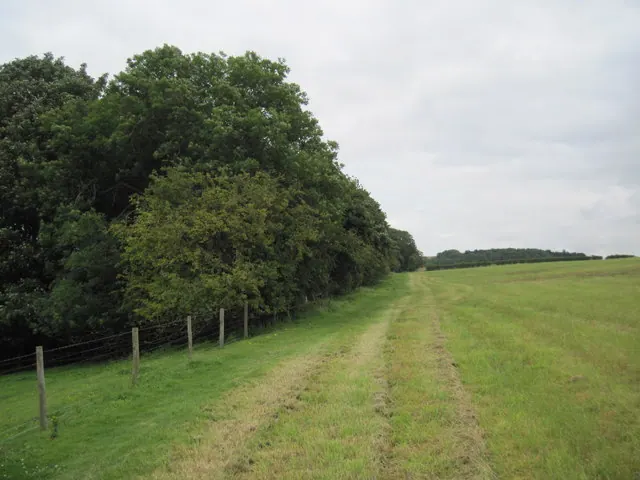
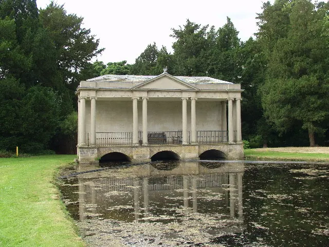
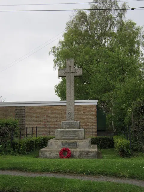
Heritage Around Knapton
Photographs of churches, listed buildings and monuments in the vicinity, contributed by volunteers to the Geograph project and reused here under a Creative Commons licence.
© Martin Dawes · Geograph · CC BY-SA 2.0
© Peter Mattock · Geograph · CC BY-SA 2.0
© Ian S · Geograph · CC BY-SA 2.0
Images © their respective photographers, licensed under CC BY-SA 2.0 and reused here with attribution. Photographs depict listed buildings, churches and monuments near this settlement and may show neighbouring villages.
Data derived from the Open Domesday project (opendomesday.org), based on the Domesday Book dataset compiled by Professor J.J.N. Palmer and team. The Domesday Book (1086) is in the public domain.
Found an inaccuracy? [email protected]