Kirksanton in the Domesday Book (1086)
Kirksanton is named in the Domesday Book, compiled by Norman commissioners in 1086, entered under the hundred of Amounderness in Yorkshire.
Other Settlements in Amounderness
- Aighton
- Aldcliffe
- Aldingham
- Arkholme
- Aschebi
- Ashton [Hall]
- Ashton [on Ribble]
- Austwick
- Barbon
- Bardsea
- Bare
- Barnoldswick
- Barton
- Beetham
The Meaning of the Name
The name Kirksanton is of Anglo-Saxon origin. Its final element derives from the Old English word tūn, a farmstead or village, while the first element appears to represent the church (ON kirkja). Taken together the name probably meant something close to ’the church farmstead’.
Remarkably, the name has changed little since 1086, when the Domesday scribes wrote it as Kirksanton.
Listed Buildings Near Kirksanton
Historic England records 2 listed buildings within about a mile of Kirksanton. Listing protects structures of special architectural or historic interest, graded I (exceptional), II* (particularly important) and II.
Grade II
- Bankspring Former Brewery - 1.02 km
- Limekiln Immediately to South West of Bankspring Former Brewery - 1.07 km
Scheduled Monuments Near Kirksanton
Scheduled monuments are nationally important archaeological sites given legal protection. 6 lie within roughly a mile of Kirksanton:
- Stone circle and funerary cairn 440m south west of Great Knott, Lacra - 0.6 km
- Stone circle 410m SSW of Great Knott, Lacra - 0.65 km
- Two stone circles, a stone avenue and a stone alignment at Great Knott, Lacra - 0.89 km
- Stone circle west of Great Knott, Lacra - 0.93 km
- Lacra Old Kirk medieval dispersed settlement and associated lynchets 800m and 830m NNE of Bankfield House - 1.0 km
- Giant’s Grave standing stones, Kirksanton - 1.15 km
Kirksanton Today
Today Kirksanton lies within the administrative area of Whicham.
Read more about modern Kirksanton on Wikipedia .
Nearby Domesday Settlements
Other places recorded in the 1086 survey within a few miles:
- Whicham - 2.2 km NW
- Millom - 3.0 km E
- Millom Castle - 3.2 km E
- Bootle - 8.9 km NW
- Kirkby Ireleth - 9.2 km E
- Broughton in Furness - 9.2 km NE
Heritage Around Kirksanton
Photographs of churches, listed buildings and monuments in the vicinity, contributed by volunteers to the Geograph project and reused here under a Creative Commons licence.
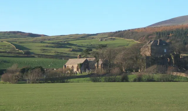
© Andrew Hill · Geograph · CC BY-SA 2.0
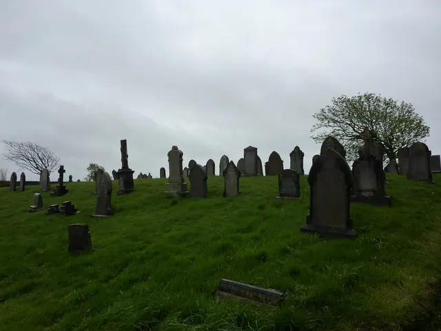
© Alexander P Kapp · Geograph · CC BY-SA 2.0
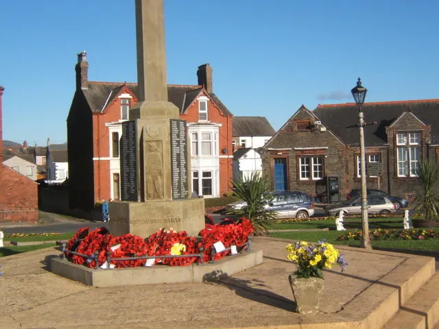
© Andrew Hill · Geograph · CC BY-SA 2.0
Images © their respective photographers, licensed under CC BY-SA 2.0 and reused here with attribution. Photographs depict listed buildings, churches and monuments near this settlement and may show neighbouring villages.
Data derived from the Open Domesday project (opendomesday.org), based on the Domesday Book dataset compiled by Professor J.J.N. Palmer and team. The Domesday Book (1086) is in the public domain.
Found an inaccuracy? [email protected]