Kirklington in the Domesday Book (1086)
The settlement of Kirklington is recorded in William I’s Domesday survey of 1086, entered under the hundred of Land of Count Alan in Yorkshire.
Other Settlements in Land of Count Alan
- Achebi
- Agglethorpe
- Ainderby [Mires]
- Ainderby [Quernhow]
- Aiskew
- Aldbrough
- Allerthorpe [Hall]
- Ascam
- Ascham
- Asebi
- Aske [Hall]
- Askrigg
- Aysgarth
- Baldersby
The Meaning of the Name
The name Kirklington is of Anglo-Saxon origin. Its final element derives from the Old English word tūn, a farmstead or village, while the first element appears to represent the church (ON kirkja). Taken together the name probably meant something close to ’the church farmstead’.
Remarkably, the name has changed little since 1086, when the Domesday scribes wrote it as Kirklington.
Listed Buildings Near Kirklington
Historic England records 15 listed buildings within about a mile of Kirklington. Listing protects structures of special architectural or historic interest, graded I (exceptional), II* (particularly important) and II.
Grade I
- Church of St Michael - 0.51 km
Grade II*
- The Hall - 0.18 km
Grade II
- Gate Piers to the Hall - 0.21 km
- K6 Telephone Kiosk North West of Lime Tree Cottage - 0.3 km
- Lime Tree Cottages - 0.32 km
- The Villa - 0.38 km
- Goldswang Farmhouse - 0.41 km
- The Old Rectory - 0.43 km
- The Old Academy - 0.43 km
- The Post Office - 0.44 km
- Rose Cottage - 0.55 km
- Ice House South of Camp Hill House - 0.94 km
- Camp Hill House - 1.1 km
- East Lodge Farmhouse - 1.27 km
- Farmbuildings to East East Lodge Farm - 1.28 km
Scheduled Monuments Near Kirklington
Scheduled monuments are nationally important archaeological sites given legal protection. 1 lies within roughly a mile of Kirklington:
Kirklington Today
Today Kirklington lies within the administrative area of Kirklington-cum-Upsland, and the settlement recorded a population of 220 at recent figures. Nine and a half centuries separate that figure from the small rural community the Domesday survey recorded here in 1086.
Read more about modern Kirklington on Wikipedia .
Nearby Domesday Settlements
Other places recorded in the 1086 survey within a few miles:
Heritage Around Kirklington
Photographs of churches, listed buildings and monuments in the vicinity, contributed by volunteers to the Geograph project and reused here under a Creative Commons licence.
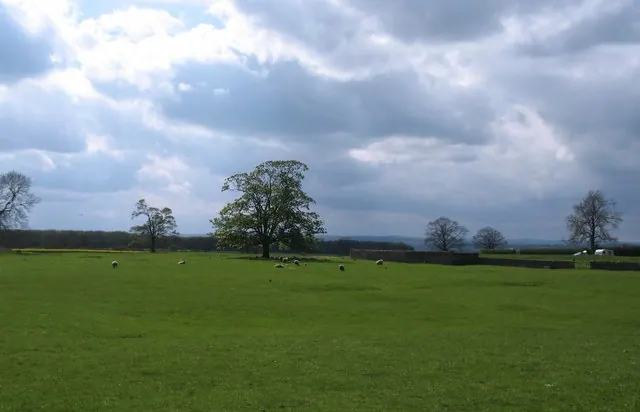
© Gordon Hatton · Geograph · CC BY-SA 2.0
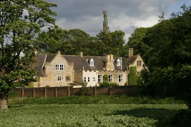
© David Rogers · Geograph · CC BY-SA 2.0
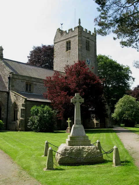
© David Rogers · Geograph · CC BY-SA 2.0
Images © their respective photographers, licensed under CC BY-SA 2.0 and reused here with attribution. Photographs depict listed buildings, churches and monuments near this settlement and may show neighbouring villages.
Location
54.2281°N, -1.5168°W · Land of Count Alan hundred, Yorkshire
View larger map on OpenStreetMap →Data derived from the Open Domesday project (opendomesday.org), based on the Domesday Book dataset compiled by Professor J.J.N. Palmer and team. The Domesday Book (1086) is in the public domain.
Found an inaccuracy? [email protected]