Kirkheaton in the Domesday Book (1086)
The settlement of Kirkheaton is recorded in William I’s Domesday survey of 1086, entered under the hundred of Agbrigg in Yorkshire.
Other Settlements in Agbrigg
- Ackton
- Almondbury
- Austonley
- Bradley
- Cartworth
- Crigglestone
- Crofton
- Dalton
- Emley
- Farnley [Tyas]
- Flockton
- Fulstone
- Golcar
- Hepworth
The Meaning of the Name
The name Kirkheaton is of Anglo-Saxon origin. Its final element derives from the Old English word tūn, a farmstead or village, while the first element appears to represent the church (ON kirkja). Taken together the name probably meant something close to ’the church farmstead’.
Remarkably, the name has changed little since 1086, when the Domesday scribes wrote it as Kirkheaton.
Listed Buildings Near Kirkheaton
Historic England records 21 listed buildings within about a mile of Kirkheaton. Listing protects structures of special architectural or historic interest, graded I (exceptional), II* (particularly important) and II.
Grade II*
- Church of St John Baptist - 0.75 km
Grade II
- Lane Side House - 0.29 km
- The Beaumont Arms Public House and Adjoining Barns to East - 0.71 km
- 112, Lascelles Hall Road - 0.72 km
- 94A and 96, Lascelles Hall Road - 0.73 km
- Graveslab About 10 Yards to East of Church, to 17 Victims of Mill Fire at Colne Bridge - 0.73 km
- Monument 10 Yards to East of Church of St John to Victims of Mill Fire at Colne Bridge - 0.73 km
- Pinfold at Junction With Town Road - 0.78 km
- Stable Block and Barn 100 Yards East of Lascelles Hall - 0.79 km
- Lascelles Hall - 0.83 km
- 1-7, School Lane - 0.95 km
- Jagger Hill - 1.14 km
- Barn at Jagger Hill - 1.15 km
- Jagger Hill - 1.16 km
- Royd Farmhouse and Barn - 1.16 km
- 6-10, Cold Royd Lane - 1.17 km
- Old Milepost at Junction With Hollin Hall Lane - 1.19 km
- Bankside - 1.21 km
- 2.25 Miles Post in Front of Number 24 - 1.23 km
- 12, 14 and 18, Lascelles Hall Road - 1.24 km
- 2-8, Lascelles Hall Road - 1.26 km
Kirkheaton Today
Today Kirkheaton lies within the administrative area of Kirkburton, and the settlement recorded a population of 3,496 at recent figures. Nine and a half centuries separate that figure from the small rural community the Domesday survey recorded here in 1086.
Read more about modern Kirkheaton on Wikipedia .
Nearby Domesday Settlements
Other places recorded in the 1086 survey within a few miles:
- Upper Hopton - 1.4 km NE
- Dalton - 1.4 km SW
- Almondbury - 2.8 km SW
- Lepton - 2.8 km SE
- Bradley - 3.2 km N
- Mirfield - 3.6 km NE
Heritage Around [Kirk]heaton
Photographs of churches, listed buildings and monuments in the vicinity, contributed by volunteers to the Geograph project and reused here under a Creative Commons licence.
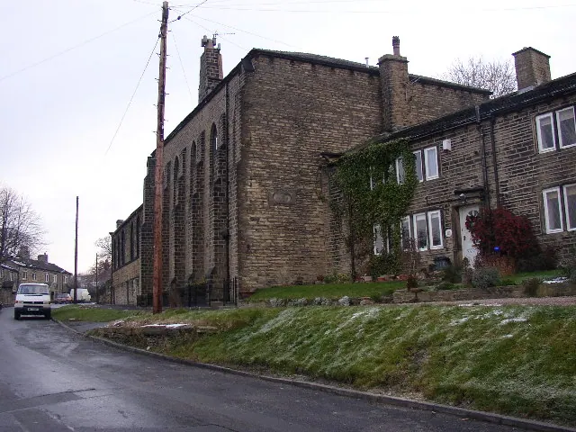
© Humphrey Bolton · Geograph · CC BY-SA 2.0
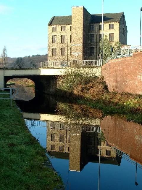
© Nigel Homer · Geograph · CC BY-SA 2.0
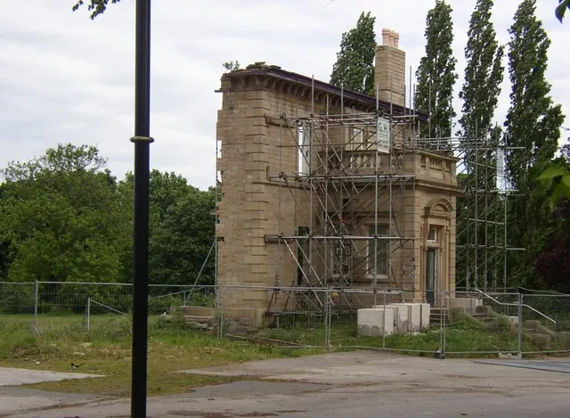
© Humphrey Bolton · Geograph · CC BY-SA 2.0
Images © their respective photographers, licensed under CC BY-SA 2.0 and reused here with attribution. Photographs depict listed buildings, churches and monuments near this settlement and may show neighbouring villages.
Data derived from the Open Domesday project (opendomesday.org), based on the Domesday Book dataset compiled by Professor J.J.N. Palmer and team. The Domesday Book (1086) is in the public domain.
Found an inaccuracy? [email protected]