Kirkham in the Domesday Book (1086)
The 1086 Domesday survey records the settlement of Kirkham, entered under the hundred of Amounderness in Yorkshire.
Other Settlements in Amounderness
- Aighton
- Aldcliffe
- Aldingham
- Arkholme
- Aschebi
- Ashton [Hall]
- Ashton [on Ribble]
- Austwick
- Barbon
- Bardsea
- Bare
- Barnoldswick
- Barton
- Beetham
The Meaning of the Name
The name Kirkham is of Anglo-Saxon origin. Its final element derives from the Old English word hām, a homestead or village, while the first element appears to represent the church (ON kirkja). Taken together the name probably meant something close to ’the church homestead’.
Remarkably, the name has changed little since 1086, when the Domesday scribes wrote it as Kirkham.
Listed Buildings Near Kirkham
Historic England records 22 listed buildings within about a mile of Kirkham. Listing protects structures of special architectural or historic interest, graded I (exceptional), II* (particularly important) and II.
Grade II*
- Church of St Michael - 0.17 km
Grade II
- Sundial in Churchyard Circa 20 Metres South of the South Porch of the Church of St Michael - 0.18 km
- Tomb of Edward and Dorothy King in Churchyard Circa 50 Metres South East of the Porch of the Church of St Michael - 0.22 km
- Tomb of Edward and Elizabeth Birley in Churchyard Circa 50 Metres South East of the Porch of the Church of St Michael - 0.22 km
- Tomb of William Birley and Others in Churchyard Circa 50 Metres South East of the Porch of the Church of St Michael - 0.22 km
- 4, Church Steet - 0.3 km
- Ash Tree House - 0.33 km
- Fishstones and Lamp - 0.33 km
- 32, Poulton Street - 0.33 km
- K6 Telephone Kiosk Opposite Post Office - 0.33 km
- Trustee Savings Bank - 0.35 km
- 4 and 6, Freckleton Street - 0.36 km
- Kirkham United Reformed Church - 0.38 km
- 14, Preston Street - 0.38 km
- Jubilee Lamp - 0.4 km
- Hillside and attached wings - 0.44 km
- Railway Hotel - 0.76 km
- Church of St John the Evangelist - 0.95 km
- War Memorial With Surrounding Railings - 0.95 km
- Churchyard Wall and Gateway South of the Church of St John the Evangelist - 0.97 km
- Christ Church - 0.99 km
- Grammar School (Front Range Only) - 1.13 km
Kirkham Today
Today Kirkham lies within the administrative area of Fylde, and the settlement recorded a population of 7,883 at the 2021 census. Nine and a half centuries separate that figure from the small rural community the Domesday survey recorded here in 1086.
Read more about modern Kirkham on Wikipedia .
Nearby Domesday Settlements
Other places recorded in the 1086 survey within a few miles:
- Treales - 1.0 km E
- Ribby - 2.2 km SW
- Newton - 2.8 km SE
- Freckleton - 3.0 km S
- Greenhalgh - 3.6 km NW
- Salwick Hall - 4.0 km E
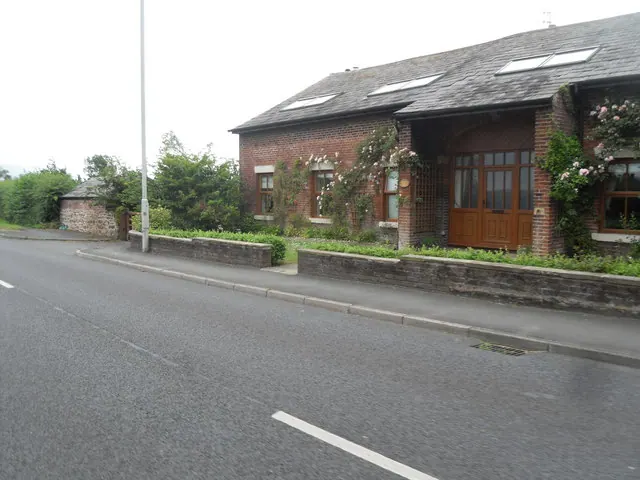
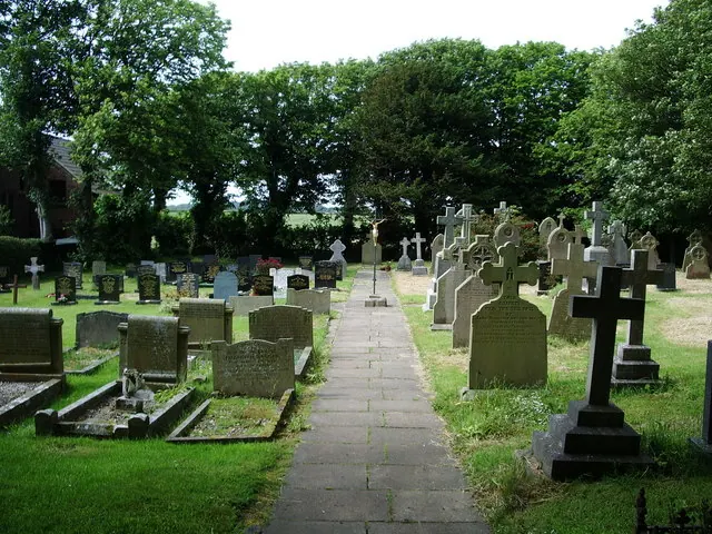
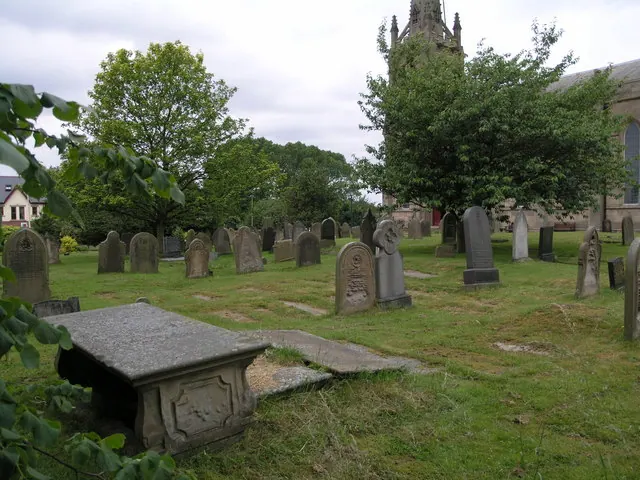
Heritage Around Kirkham
Photographs of churches, listed buildings and monuments in the vicinity, contributed by volunteers to the Geograph project and reused here under a Creative Commons licence.
© Anthony Parkes · Geograph · CC BY-SA 2.0
© Alexander P Kapp · Geograph · CC BY-SA 2.0
© Richard Paxman · Geograph · CC BY-SA 2.0
Images © their respective photographers, licensed under CC BY-SA 2.0 and reused here with attribution. Photographs depict listed buildings, churches and monuments near this settlement and may show neighbouring villages.
Data derived from the Open Domesday project (opendomesday.org), based on the Domesday Book dataset compiled by Professor J.J.N. Palmer and team. The Domesday Book (1086) is in the public domain.
Found an inaccuracy? [email protected]