Kirkdale in the Domesday Book (1086)
Kirkdale appears in the Domesday Book of 1086, entered under the hundred of [West] Derby in Cheshire.
Other Settlements in [West] Derby
- Ainsdale
- Allerton
- Argarmeles
- Aughton
- Barton
- Bootle
- Childwall
- Dalton
- Downholland
- Formby
- Halsall
- Hurlston
- Huyton
- Ince [Blundell]
The Meaning of the Name
The name Kirkdale is of Scandinavian origin. Its final element derives from the Old Norse word dalr, a valley, while the first element appears to represent the church (ON kirkja). Taken together the name probably meant something close to ’the church valley’.
Names of this type are a fingerprint of Scandinavian settlement: they cluster across the old Danelaw, where Norse-speaking settlers renamed or founded villages from the late 9th century onward.
Remarkably, the name has changed little since 1086, when the Domesday scribes wrote it as Kirkdale.
Listed Buildings Near Kirkdale
Historic England records 55 listed buildings within about a mile of Kirkdale. Listing protects structures of special architectural or historic interest, graded I (exceptional), II* (particularly important) and II.
Grade II
- Rainbow House - 0.06 km
- Arnot St Mary Primary School - 0.11 km
- Glebe Hotel - 0.23 km
- Old School House - 0.4 km
- Sandstone Wall All Round Churchyard, With One Entrance on County Road, One at the Junction of County Road and Church Lane, and One on Walton Village. - 0.43 km
- Sundial in Churchyard 10 Metres South of South Porch of St Mary’s Church - 0.45 km
- Church of St Mary - 0.47 km
- Mortuary to Right of Entrance to Churchyard - 0.48 km
- Hearse House to Right of Entrance to Churchyard - 0.49 km
- 59-73, Barlow Lane - 0.52 km
- The Old Rectory (Now Part of High School) - 0.52 km
- Walton Lane Entrance to Anfield Cemetery - 0.66 km
- No. 304, Lodge to Anfield Cemetery - 0.67 km
- No. 302, Lodge to Anfield Cemetery - 0.78 km
- Main Entrance to Anfield Cemetery - 0.79 km
- Bridge Over Lake - 0.79 km
- No. 242, Lodge to Anfield Cemetery - 0.8 km
- Prince Arthur - 0.81 km
- Bridge to North of East End of Lake - 0.83 km
- Milepost on Corner of Tetlow Street - 0.84 km
- Shelter to South East of Lake - 0.84 km
- Bridge at East End of Lake - 0.86 km
- Westminster Road Former Fire/police Station - 0.87 km
- Walton Hospital (Original Building Only) - 0.88 km
…and 31 more listed structures in the area.
Nearby Domesday Settlements
Other places recorded in the 1086 survey within a few miles:
- Bootle - 1.0 km W
- Walton on the Hill - 1.4 km NE
- Down Litherland - 3.6 km NW
- West Derby - 4.0 km E
- Smithdown - 4.1 km S
- Wallasey - 4.5 km SW
Heritage Around Kirkdale
Photographs of churches, listed buildings and monuments in the vicinity, contributed by volunteers to the Geograph project and reused here under a Creative Commons licence.
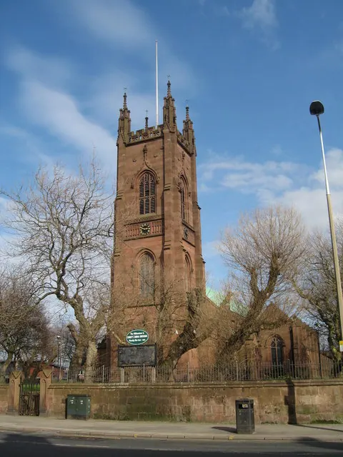
© Sue Adair · Geograph · CC BY-SA 2.0
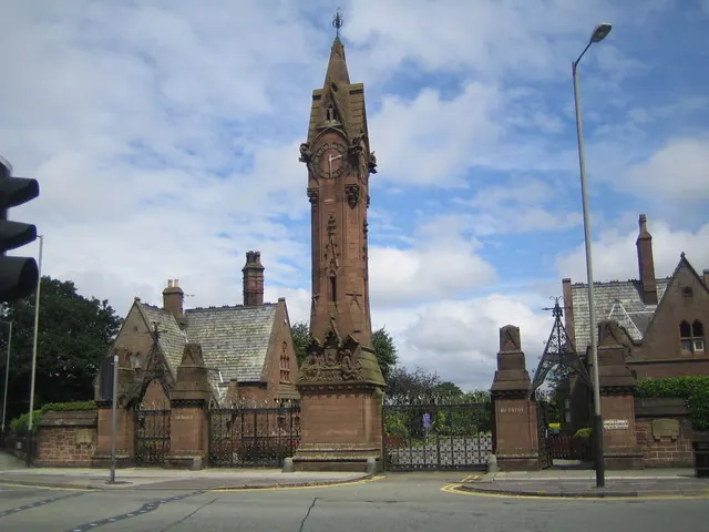
© Nigel Cox · Geograph · CC BY-SA 2.0
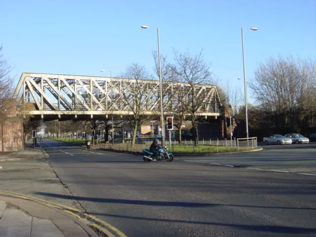
© Sue Adair · Geograph · CC BY-SA 2.0
Images © their respective photographers, licensed under CC BY-SA 2.0 and reused here with attribution. Photographs depict listed buildings, churches and monuments near this settlement and may show neighbouring villages.
Data derived from the Open Domesday project (opendomesday.org), based on the Domesday Book dataset compiled by Professor J.J.N. Palmer and team. The Domesday Book (1086) is in the public domain.
Found an inaccuracy? [email protected]