Kirkby Wharfe in the Domesday Book (1086)
The 1086 Domesday survey records the settlement of Kirkby Wharfe, entered under the hundred of Barkston in Yorkshire.
Other Settlements in Barkston
- Barkston
- Barlow
- Birkin
- Bramham
- Brayton
- Burton [Hall]
- Camblesforth
- Carlton
- Clifford
- Drax
- Fairburn
- Grimston [Grange]
- Hambleton
- Hazelwood [Castle]
The Meaning of the Name
The name Kirkby Wharfe is of Scandinavian origin. Its final element derives from the Old Norse word bý, a farmstead or village, while the first element appears to represent the church (ON kirkja). Taken together the name probably meant something close to ’the church farmstead’.
Names of this type are a fingerprint of Scandinavian settlement: they cluster across the old Danelaw, where Norse-speaking settlers renamed or founded villages from the late 9th century onward.
Remarkably, the name has changed little since 1086, when the Domesday scribes wrote it as Kirkby Wharfe.
Listed Buildings Near Kirkby Wharfe
Historic England records 17 listed buildings within about a mile of Kirkby Wharfe. Listing protects structures of special architectural or historic interest, graded I (exceptional), II* (particularly important) and II.
Grade II*
- Church of St John the Baptist - 0.4 km
- Grimston Park - 0.81 km
Grade II
- Medieval Grave Slab Approximately 1/3 Metre South of St John’s Church - 0.4 km
- The Old Vicarage - 0.42 km
- Churchyard Cross Approximately 20 Metres to South-west of St John’s Church - 0.43 km
- The White House - 0.59 km
- Gates and Piers Approximately 120 Metres to East of House - 0.59 km
- Woodside Cottage - 0.65 km
- Coach House to East of House - 0.7 km
- Manege to North-east of House - 0.72 km
- Stable Block to East of House - 0.74 km
- Wall, Piers and Railings Approximately 100 Metres to North of House - 0.81 km
- Lodge, Gates, Walls, Railings and Piers to North of House - 0.81 km
- Wall With Obelisks Approximately 15 Metres to North of House - 0.83 km
- Summer House Approximately 10 Metres to West of House - 0.84 km
- Fountain Approximately 30 Metres to West of House - 0.9 km
- Hornington Manor - 1.0 km
Scheduled Monuments Near Kirkby Wharfe
Scheduled monuments are nationally important archaeological sites given legal protection. 1 lies within roughly a mile of Kirkby Wharfe:
- Roman villa - 0.59 km
Kirkby Wharfe Today
Today Kirkby Wharfe lies within the administrative area of Kirkby Wharfe with North Milford, and the settlement recorded a population of 173 at recent figures. Nine and a half centuries separate that figure from the small rural community the Domesday survey recorded here in 1086.
Read more about modern Kirkby Wharfe on Wikipedia .
Nearby Domesday Settlements
Other places recorded in the 1086 survey within a few miles:
- Hornington Manor - 1.0 km E
- Ouston Farm - 1.0 km N
- Pallathorpe - 1.4 km NE
- Neuhuse - 1.4 km SE
- Niuuehusum - 1.4 km SE
- Ulleskelf - 1.4 km SE
Heritage Around Kirkby [Wharfe]
Photographs of churches, listed buildings and monuments in the vicinity, contributed by volunteers to the Geograph project and reused here under a Creative Commons licence.
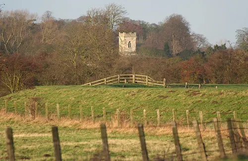
© Andrew Whale · Geograph · CC BY-SA 2.0
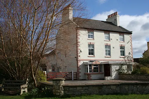
© Andrew Whale · Geograph · CC BY-SA 2.0
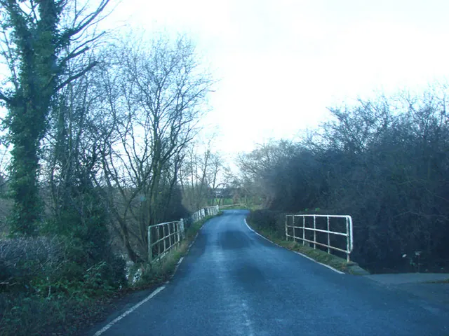
© Bill Henderson · Geograph · CC BY-SA 2.0
Images © their respective photographers, licensed under CC BY-SA 2.0 and reused here with attribution. Photographs depict listed buildings, churches and monuments near this settlement and may show neighbouring villages.
Data derived from the Open Domesday project (opendomesday.org), based on the Domesday Book dataset compiled by Professor J.J.N. Palmer and team. The Domesday Book (1086) is in the public domain.
Found an inaccuracy? [email protected]