Kirkby Malham in the Domesday Book (1086)
Kirkby Malham appears in the Domesday Book of 1086, entered under the hundred of Craven in Yorkshire.
Other Settlements in Craven
- Addingham
- Airton
- Anley
- Appletreewick
- Arncliffe
- Arnford
- Barnoldswick
- Bashall [Eaves]
- Battersby [Barn]
- Beamsley
- Birkby [Hall]
- Bogeuurde
- Bolton [Abbey]
- Bolton [by Bowland]
The Meaning of the Name
The name Kirkby Malham is of Scandinavian origin. Its final element derives from the Old Norse word bý, a farmstead or village, while the first element appears to represent the church (ON kirkja). Taken together the name probably meant something close to ’the church farmstead’.
Names of this type are a fingerprint of Scandinavian settlement: they cluster across the old Danelaw, where Norse-speaking settlers renamed or founded villages from the late 9th century onward.
Remarkably, the name has changed little since 1086, when the Domesday scribes wrote it as Kirkby Malham.
Listed Buildings Near Kirkby Malham
Historic England records 18 listed buildings within about a mile of Kirkby Malham. Listing protects structures of special architectural or historic interest, graded I (exceptional), II* (particularly important) and II.
Grade I
- Church of St Michael the Archangel - 0.56 km
Grade II
- Dykelands Farmhouse Grid Reference Sd 896 601 - 0.34 km
- Barn Adjoining Dykelands Farmhouse - 0.35 km
- Yeomans Cottage - 0.5 km
- Vicarage - 0.56 km
- K6 telephone kiosk, Kirkby Malham - 0.56 km
- Lamberts Halt - 0.57 km
- Rose Cottage - 0.57 km
- Tarka - 0.64 km
- The Rookery - 0.64 km
- Clock Cottage - 0.65 km
- Church End Farmhouse and Church End Cottage - 0.66 km
- West Bank Farm - 0.7 km
- Hanlith Bridge - 0.78 km
- Hanlith Hall Farmhouse - 0.93 km
- Town End Farmhouse Grid Reference Sd 3901 4596 - 1.01 km
- Scosthrop Manor House Grid Reference Sd 3901 4596 - 1.03 km
- Hellenstead Barn Grid Reference Sd 3905 4613 - 1.23 km
Scheduled Monuments Near Kirkby Malham
Scheduled monuments are nationally important archaeological sites given legal protection. 1 lies within roughly a mile of Kirkby Malham:
Kirkby Malham Today
Today Kirkby Malham lies within the administrative area of Craven, and the settlement recorded a population of 84 at the 2021 census. Nine and a half centuries separate that figure from the small rural community the Domesday survey recorded here in 1086.
Read more about modern Kirkby Malham on Wikipedia .
Nearby Domesday Settlements
Other places recorded in the 1086 survey within a few miles:
Heritage Around Kirkby [Malham]
Photographs of churches, listed buildings and monuments in the vicinity, contributed by volunteers to the Geograph project and reused here under a Creative Commons licence.
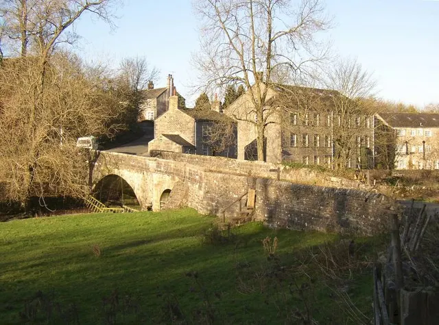
© Humphrey Bolton · Geograph · CC BY-SA 2.0
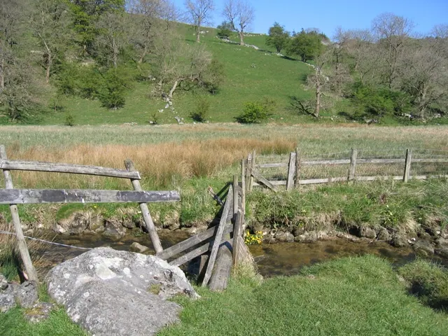
© John S Turner · Geograph · CC BY-SA 2.0
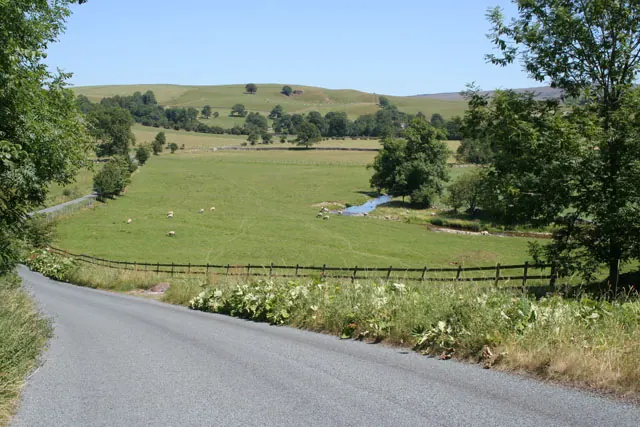
© Kate Jewell · Geograph · CC BY-SA 2.0
Images © their respective photographers, licensed under CC BY-SA 2.0 and reused here with attribution. Photographs depict listed buildings, churches and monuments near this settlement and may show neighbouring villages.
Data derived from the Open Domesday project (opendomesday.org), based on the Domesday Book dataset compiled by Professor J.J.N. Palmer and team. The Domesday Book (1086) is in the public domain.
Found an inaccuracy? [email protected]