Kirkby Lonsdale in the Domesday Book (1086)
The 1086 Domesday survey records the settlement of Kirkby Lonsdale, entered under the hundred of Amounderness in Yorkshire. The survey assessed Kirkby Lonsdale at 1.5 carucates of taxable land.
At the time of the survey, Kirkby Lonsdale supported a recorded population of 4 villagers, 9 smallholders, working 3 ploughs between them.
By 1086 Kirkby Lonsdale was worth 4.5 shillings, up from 2 shillings before the Conquest – which sets it apart from the many nearby villages left waste or devalued.
Resources Recorded at Kirkby Lonsdale (1086)
- Meadow: 22 acres
- Woodland: 40 pigs
Other Settlements in Amounderness
- Aighton
- Aldcliffe
- Aldingham
- Arkholme
- Aschebi
- Ashton [Hall]
- Ashton [on Ribble]
- Austwick
- Barbon
- Bardsea
- Bare
- Barnoldswick
- Barton
- Beetham
The Meaning of the Name
The name Kirkby Lonsdale is of Scandinavian origin. Its final element derives from the Old Norse word bý, a farmstead or village, while the first element appears to represent the church (ON kirkja). Taken together the name probably meant something close to ’the church farmstead’.
Names of this type are a fingerprint of Scandinavian settlement: they cluster across the old Danelaw, where Norse-speaking settlers renamed or founded villages from the late 9th century onward.
Remarkably, the name has changed little since 1086, when the Domesday scribes wrote it as Kirkby Lonsdale.
Listed Buildings Near Kirkby Lonsdale
Historic England records 156 listed buildings within about a mile of Kirkby Lonsdale. Listing protects structures of special architectural or historic interest, graded I (exceptional), II* (particularly important) and II.
Grade I
- Church of St Mary - 0.81 km
Grade II*
- Casterton Hall, East Wing, the Mews (Includes the Orangery) - 0.37 km
- Underley Hall School - 0.66 km
- Church Brow Cottage - 0.73 km
Grade II
- Kirfitt Hall and Attached Outbuilding - 0.19 km
- Limekiln at Sd 621 797 - 0.6 km
- Cow Shelter Approximately 110M South of High Lodge - 0.63 km
- Gatehouse - 0.64 km
- Gatepiers to Cemetery North of Cockpit Hill - 0.68 km
- Gazebo in Churchyard to North of Church of St Mary - 0.74 km
- Old Manor House - 0.76 km
- Monument to Dorothy Cartwright in the Churchyard to East of St Mary - 0.78 km
- Mill Brow House - 0.78 km
- Rectory and St Mary’s Lodge - 0.78 km
- Monument to John Dent, in the Churchyard to East of Church of St Mary - 0.79 km
- Monument to Rowland Tarham in the Churchyard to East of Church of St Mary - 0.79 km
- Unknown Monument to South of Monument to the Burrow Family in the Churchyard East of Church of St Mary - 0.8 km
- Monument to the Burrow Family in the Churchyard to East of Church of St Mary - 0.8 km
- 10, Mill Brow - 0.8 km
- Casterton Old Hall - 0.81 km
- Monument to Thomas Tiffin in the Churchyard to the West of the Church of St Mary - 0.81 km
- 2 and 8, Vicarage Lane - 0.81 km
- Cross Cottage - 0.81 km
- Market Cross - 0.81 km
…and 132 more listed structures in the area.
Scheduled Monuments Near Kirkby Lonsdale
Scheduled monuments are nationally important archaeological sites given legal protection. 2 lie within roughly a mile of Kirkby Lonsdale:
- Cockpit Hill, medieval motte castle - 0.71 km
- Devil’s Bridge - 1.24 km
Kirkby Lonsdale Today
Today Kirkby Lonsdale lies within the administrative area of Westmorland and Furness, and the settlement recorded a population of 1,966 at the 2021 census. Nine and a half centuries separate that figure from the small rural community the Domesday survey recorded here in 1086.
Read more about modern Kirkby Lonsdale on Wikipedia .
Nearby Domesday Settlements
Other places recorded in the 1086 survey within a few miles:
- Casterton - 1.0 km E
- Thirnby Wood - 2.0 km S
- Whittington - 3.2 km S
- Mansergh - 3.6 km NW
- Barbon - 3.6 km NE
- Hutton Roof - 4.1 km W
Heritage Around Kirkby [Lonsdale]
Photographs of churches, listed buildings and monuments in the vicinity, contributed by volunteers to the Geograph project and reused here under a Creative Commons licence.
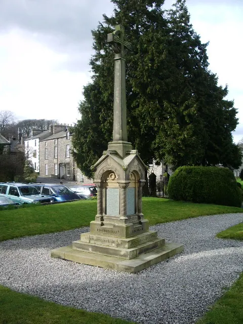
© Alexander P Kapp · Geograph · CC BY-SA 2.0
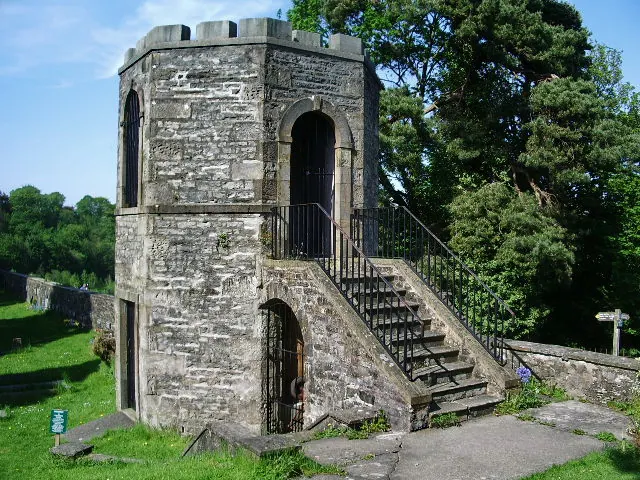
© Alexander P Kapp · Geograph · CC BY-SA 2.0
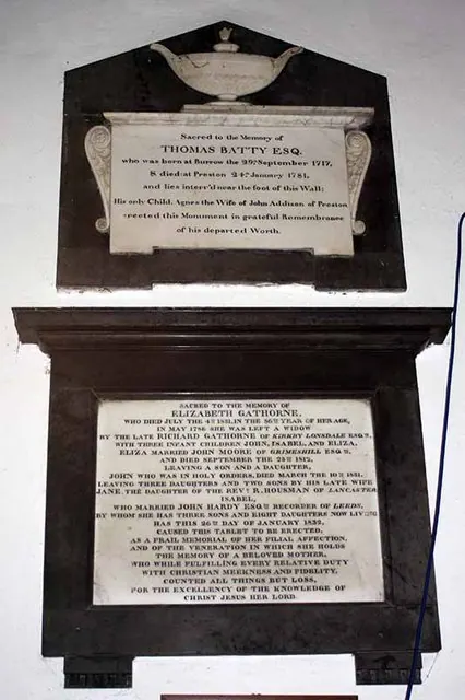
© John Salmon · Geograph · CC BY-SA 2.0
Images © their respective photographers, licensed under CC BY-SA 2.0 and reused here with attribution. Photographs depict listed buildings, churches and monuments near this settlement and may show neighbouring villages.
Data derived from the Open Domesday project (opendomesday.org), based on the Domesday Book dataset compiled by Professor J.J.N. Palmer and team. The Domesday Book (1086) is in the public domain.
Found an inaccuracy? [email protected]