Kirkby Fleetham in the Domesday Book (1086)
The settlement of Kirkby Fleetham is recorded in William I’s Domesday survey of 1086, entered under the hundred of Land of Count Alan in Yorkshire. The survey assessed Kirkby Fleetham at 5 carucates of taxable land.
At the time of the survey, Kirkby Fleetham supported a recorded population of 4 villagers, 6 smallholders, 2 slaves, working 3 ploughs between them.
The survey records Kirkby Fleetham’s value at 3 shillings in 1086. No pre-Conquest figure survives – not unusual in the North, where records were disrupted by the Harrying and by the patchy coverage of the survey.
Resources Recorded at Kirkby Fleetham (1086)
- Woodland: 0.5 league * 0.5 furlong mixed measures
Other Settlements in Land of Count Alan
- Achebi
- Agglethorpe
- Ainderby [Mires]
- Ainderby [Quernhow]
- Aiskew
- Aldbrough
- Allerthorpe [Hall]
- Ascam
- Ascham
- Asebi
- Aske [Hall]
- Askrigg
- Aysgarth
- Baldersby
The Meaning of the Name
The name Kirkby Fleetham is of Scandinavian origin. Its final element derives from the Old Norse word bý, a farmstead or village, while the first element appears to represent the church (ON kirkja). Taken together the name probably meant something close to ’the church farmstead’.
Names of this type are a fingerprint of Scandinavian settlement: they cluster across the old Danelaw, where Norse-speaking settlers renamed or founded villages from the late 9th century onward.
Remarkably, the name has changed little since 1086, when the Domesday scribes wrote it as Kirkby Fleetham.
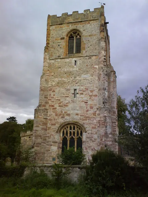
Listed Buildings Near Kirkby Fleetham
Historic England records 5 listed buildings within about a mile of Kirkby Fleetham. Listing protects structures of special architectural or historic interest, graded I (exceptional), II* (particularly important) and II.
Grade II*
- Kirkby Fleetham Hall - 1.28 km
Grade II
- The Vicarage - 0.04 km
- Lancaster House and Attached Outbuildings - 0.32 km
- Friars Garth - 0.78 km
- North Lowfield Farmhouse - 1.28 km
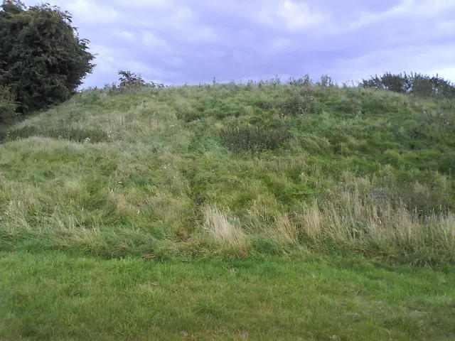
Scheduled Monuments Near Kirkby Fleetham
Scheduled monuments are nationally important archaeological sites given legal protection. 1 lies within roughly a mile of Kirkby Fleetham:
Kirkby Fleetham Today
Today Kirkby Fleetham lies within the administrative area of Kirkby Fleetham with Fencote, and the settlement recorded a population of 560 at recent figures. Nine and a half centuries separate that figure from the small rural community the Domesday survey recorded here in 1086.
Read more about modern Kirkby Fleetham on Wikipedia .
Nearby Domesday Settlements
Other places recorded in the 1086 survey within a few miles:
- Kirkby Hall - 1.0 km N
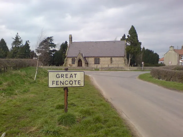
- Great Fencote - 1.0 km S
- Little Fencote - 1.0 km S
- Little Langton - 2.2 km NE
- Great Langton - 2.2 km NE
- Holtby Hall - 2.8 km SW
Heritage Around [Kirkby] Fleetham
Photographs of churches, listed buildings and monuments in the vicinity, contributed by volunteers to the Geograph project and reused here under a Creative Commons licence.
© Matthew Hatton · Geograph · CC BY-SA 2.0
© Frank Glover · Geograph · CC BY-SA 2.0
© Matthew Hatton · Geograph · CC BY-SA 2.0
Images © their respective photographers, licensed under CC BY-SA 2.0 and reused here with attribution. Photographs depict listed buildings, churches and monuments near this settlement and may show neighbouring villages.
Location
54.3451°N, -1.5615°W · Land of Count Alan hundred, Yorkshire
View larger map on OpenStreetMap →Data derived from the Open Domesday project (opendomesday.org), based on the Domesday Book dataset compiled by Professor J.J.N. Palmer and team. The Domesday Book (1086) is in the public domain.
Found an inaccuracy? [email protected]