Kirkburton in the Domesday Book (1086)
The 1086 Domesday survey records the settlement of Kirkburton, entered under the hundred of Agbrigg in Yorkshire. The survey assessed Kirkburton at 5 carucates of taxable land.
At the time of the survey, Kirkburton supported a recorded population of 6 villagers, working 3 ploughs between them.
The survey puts Kirkburton’s value at 10d, the same as before the Conquest. Unchanged valuations are relatively rare in the North, where disruption was widespread.
1 of 2 manors within Kirkburton are recorded as waste in 1086, with the remainder still productive. This partial devastation suggests the settlement was caught in the path of the Harrying of the North but not entirely destroyed - or that recovery had begun in some holdings by the time of the survey.
The survey lists 2 manors at Kirkburton under different lords. Splitting a single settlement between multiple tenants was common across the North – Saxon estates broken up and handed to William’s followers after 1066.
Resources Recorded at Kirkburton (1086)
- Mills: 1 mill (valued at 2d)
- Meadow: 12 None
- Woodland: 5 * 3 None
Other Settlements in Agbrigg
- Ackton
- Almondbury
- Austonley
- Bradley
- Cartworth
- Crigglestone
- Crofton
- Dalton
- Emley
- Farnley [Tyas]
- Flockton
- Fulstone
- Golcar
- Hepworth
The Meaning of the Name
The name Kirkburton is of Anglo-Saxon origin. Its final element derives from the Old English word tūn, a farmstead or village, while the first element appears to represent the church (ON kirkja). Taken together the name probably meant something close to ’the church farmstead’.
Remarkably, the name has changed little since 1086, when the Domesday scribes wrote it as Kirkburton.
Listed Buildings Near Kirkburton
Historic England records 26 listed buildings within about a mile of Kirkburton. Listing protects structures of special architectural or historic interest, graded I (exceptional), II* (particularly important) and II.
Grade I
- Church of All Hallows - 0.2 km
Grade II
- Yew Tree Farm - 0.16 km
- Old Forge - 0.27 km
- Milestone - 0.46 km
- Guide Post at Junction With Riley Lane - 0.57 km
- Boundary Stone 150 Yards South of Junction With Riley Lane - 0.65 km
- Gateway With Gate and Gate Piers at East Lodge - 0.68 km
- Boundary Stone 100 Yards South of Junction With Penistone Road - 0.68 km
- Springfield Mill - 0.72 km
- Lodge at Springfield Mill - 0.78 km
- 14 and 14A, North Road - 0.79 km
- Stable Building 10 Yards to East of Town Hall - 0.82 km
- Town Hall - 0.84 km
- 80 and 82, Paddock Road - 0.9 km
- Wood Nook Farmhouse - 0.91 km
- 72 and 74, Paddock Road - 0.91 km
- 118, Paddock Road - 0.97 km
- 46 and 48, Town Gate - 1.1 km
- 2, Town Gate - 1.17 km
- The Mansion (Storthes Hall Hospital) - 1.18 km
- 3, Thunder Bridge Lane - 1.19 km
- Smiths Arms Public House - 1.19 km
- Highburton Cross - 1.19 km
- 5, 9 and 11, Thunder Bridge Lane - 1.2 km
…and 2 more listed structures in the area.
Scheduled Monuments Near Kirkburton
Scheduled monuments are nationally important archaeological sites given legal protection. 1 lies within roughly a mile of Kirkburton:
- Market cross at Highburton - 1.19 km
Kirkburton Today
Today Kirkburton lies within the administrative area of Kirklees, and the settlement recorded a population of 25,728 at the 2021 census. Nine and a half centuries separate that figure from the small rural community the Domesday survey recorded here in 1086.
Read more about modern Kirkburton on Wikipedia .
Nearby Domesday Settlements
Other places recorded in the 1086 survey within a few miles:
- Shelley - 1.4 km SE
- Farnley Tyas - 3.0 km W
- Shepley - 3.0 km S
- Lepton - 3.2 km N
- Thurstonland - 3.6 km SW
- Fulstone - 3.6 km SW
Heritage Around [Kirk]burton
Photographs of churches, listed buildings and monuments in the vicinity, contributed by volunteers to the Geograph project and reused here under a Creative Commons licence.
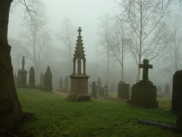
© steve taylor · Geograph · CC BY-SA 2.0
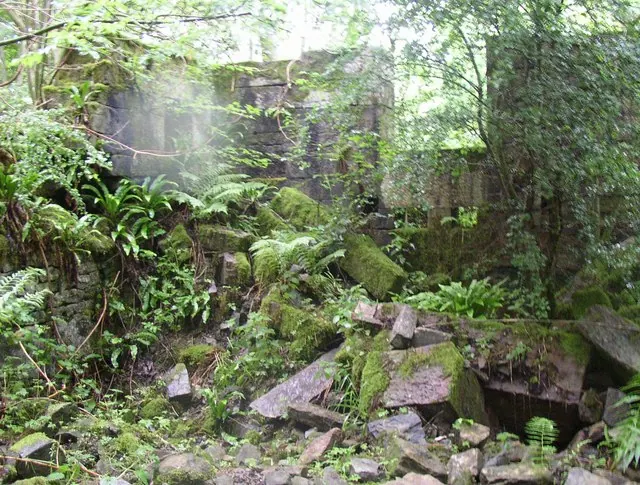
© Humphrey Bolton · Geograph · CC BY-SA 2.0
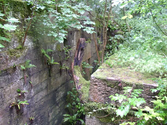
© Humphrey Bolton · Geograph · CC BY-SA 2.0
Images © their respective photographers, licensed under CC BY-SA 2.0 and reused here with attribution. Photographs depict listed buildings, churches and monuments near this settlement and may show neighbouring villages.
Data derived from the Open Domesday project (opendomesday.org), based on the Domesday Book dataset compiled by Professor J.J.N. Palmer and team. The Domesday Book (1086) is in the public domain.
Found an inaccuracy? [email protected]