Kirkburn in the Domesday Book (1086)
Kirkburn is named in the Domesday Book, compiled by Norman commissioners in 1086, entered under the hundred of Driffield in Yorkshire. The survey assessed Kirkburn at 5.8 carucates of taxable land.
At the time of the survey, Kirkburn supported a recorded population of 34 smallholders, 3 slaves, 15 freemanmen, working 9 ploughs between them.
Something went badly wrong here between the two surveys. Before 1066, Kirkburn was worth 7.75 shillings; by 1086 that had dropped to 6.8 shillings – a fall of 12%. Most Yorkshire villages that lost value on this scale were swept up in the Harrying of the North – William’s scorched-earth campaign of 1069–70.
The survey lists 5 manors at Kirkburn under different lords. Splitting a single settlement between multiple tenants was common across the North – Saxon estates broken up and handed to William’s followers after 1066.
Resources Recorded at Kirkburn (1086)
- Mills: 1 mill
- Churches: 2
- Cattle: 10
- Pigs: 12
- Sheep: 16
- Meadow: 8 acres
- Woodland: 12 pigs
Other Settlements in Driffield
- Bainton
- Cranswick
- Eastburn
- Hutton [Cranswick]
- Kelleythorpe
- Neswick [Hall]
- Rotsea
- Skerne
- Southburn
- Tibthorpe
- Torp
- [Great] Driffield
- [Great] Kendale
- [Little] Driffield
The Meaning of the Name
The origin of the name Kirkburn is not securely established from its modern form alone; like many settlement names in the North it likely combines an Old English or Old Norse personal name with a landscape term.
Remarkably, the name has changed little since 1086, when the Domesday scribes wrote it as Kirkburn.
Listed Buildings Near Kirkburn
Historic England records 3 listed buildings within about a mile of Kirkburn. Listing protects structures of special architectural or historic interest, graded I (exceptional), II* (particularly important) and II.
Grade I
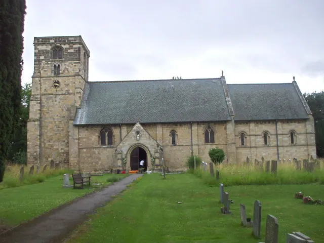
- Church of St Mary - 0.55 km
Grade II
- 1 and 3, Main Street - 0.64 km
- The Queen’s Head Inn - 0.65 km
Scheduled Monuments Near Kirkburn
Scheduled monuments are nationally important archaeological sites given legal protection. 1 lies within roughly a mile of Kirkburn:
- Site of deserted village of Eastburn - 1.54 km
Kirkburn Today
Today Kirkburn lies within the administrative area of East Riding of Yorkshire, and the settlement recorded a population of 940 at the 2021 census. Nine and a half centuries separate that figure from the small rural community the Domesday survey recorded here in 1086.
Read more about modern Kirkburn on Wikipedia .
Nearby Domesday Settlements
Other places recorded in the 1086 survey within a few miles:
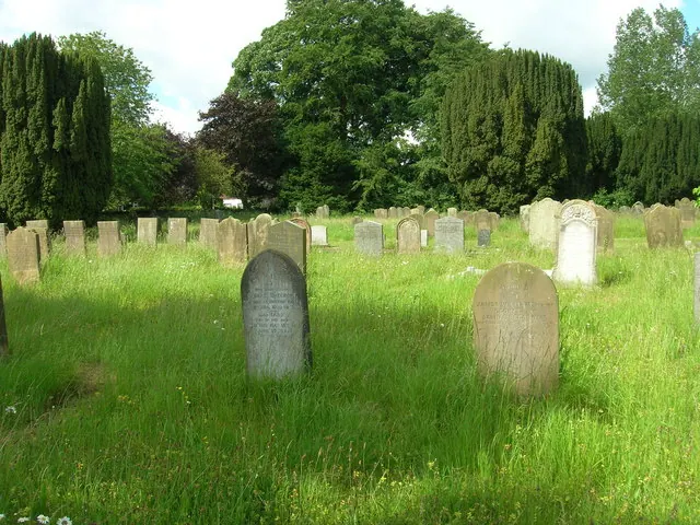
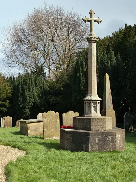
Heritage Around [Kirk]burn
Photographs of churches, listed buildings and monuments in the vicinity, contributed by volunteers to the Geograph project and reused here under a Creative Commons licence.
© JThomas · Geograph · CC BY-SA 2.0
© Peter Church · Geograph · CC BY-SA 2.0
© nick macneill · Geograph · CC BY-SA 2.0
Images © their respective photographers, licensed under CC BY-SA 2.0 and reused here with attribution. Photographs depict listed buildings, churches and monuments near this settlement and may show neighbouring villages.
Data derived from the Open Domesday project (opendomesday.org), based on the Domesday Book dataset compiled by Professor J.J.N. Palmer and team. The Domesday Book (1086) is in the public domain.
Found an inaccuracy? [email protected]