Kirk Sandall in the Domesday Book (1086)
Kirk Sandall appears in the Domesday Book of 1086, entered under the hundred of Strafforth in Yorkshire.
Other Settlements in Strafforth
- Adwick [le Street]
- Adwick [upon Dearne]
- Armthorpe
- Aston
- Attercliffe
- Auckley
- Aughton [Hall]
- Austerfield
- Balby
- Barnbrough
- Barnby [Dun]
- Bentley
- Bilham [House]
- Billingley
The Meaning of the Name
The origin of the name Kirk Sandall is not securely established from its modern form alone; like many settlement names in the North it likely combines an Old English or Old Norse personal name with a landscape term.
Remarkably, the name has changed little since 1086, when the Domesday scribes wrote it as Kirk Sandall.
Listed Buildings Near Kirk Sandall
Historic England records 4 listed buildings within about a mile of Kirk Sandall. Listing protects structures of special architectural or historic interest, graded I (exceptional), II* (particularly important) and II.
Grade I
- Church of St Peter and St Paul - 1.27 km
Grade II*
- Church of St Oswald - 0.76 km
Grade II
- Barn and attached cartshed approximately 50 metres to south-east of Church of St Oswald - 0.73 km
- Remains of Cross Approximately 8 Metres to South of Porch to Church of St Oswald - 0.77 km
Scheduled Monuments Near Kirk Sandall
Scheduled monuments are nationally important archaeological sites given legal protection. 1 lies within roughly a mile of Kirk Sandall:
Kirk Sandall Today
Today Kirk Sandall lies within the administrative area of Barnby Dun with Kirk Sandall.
Read more about modern Kirk Sandall on Wikipedia .
Nearby Domesday Settlements
Other places recorded in the 1086 survey within a few miles:
- Barnby Dun - 1.0 km N
- Long Sandall - 2.2 km SW
- Edenthorpe - 2.2 km SE
- Kirk Bramwith - 3.2 km N
- South Bramwith - 3.2 km N
- Armthorpe - 4.1 km S
Heritage Around [Kirk] Sandall
Photographs of churches, listed buildings and monuments in the vicinity, contributed by volunteers to the Geograph project and reused here under a Creative Commons licence.
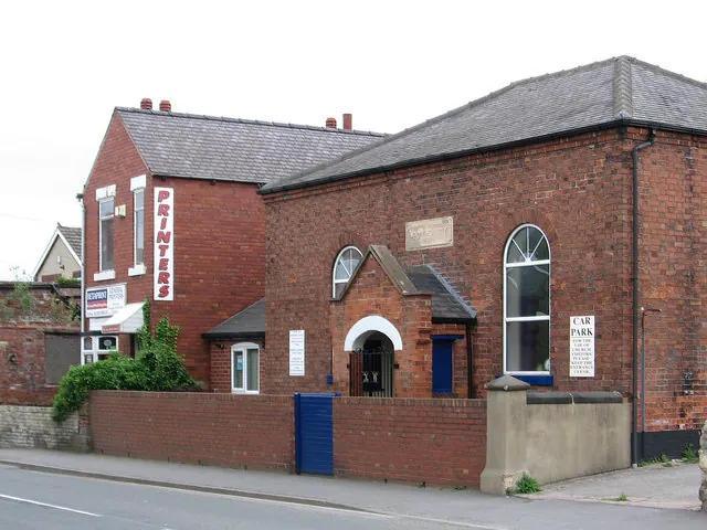
© Dave Bevis · Geograph · CC BY-SA 2.0
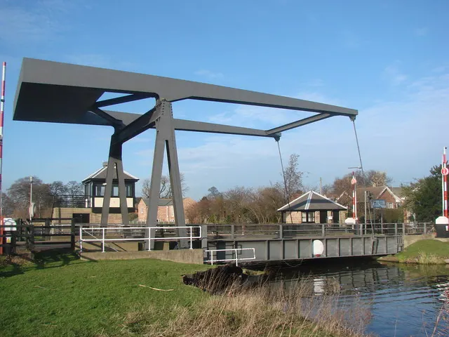
© Bill Henderson · Geograph · CC BY-SA 2.0
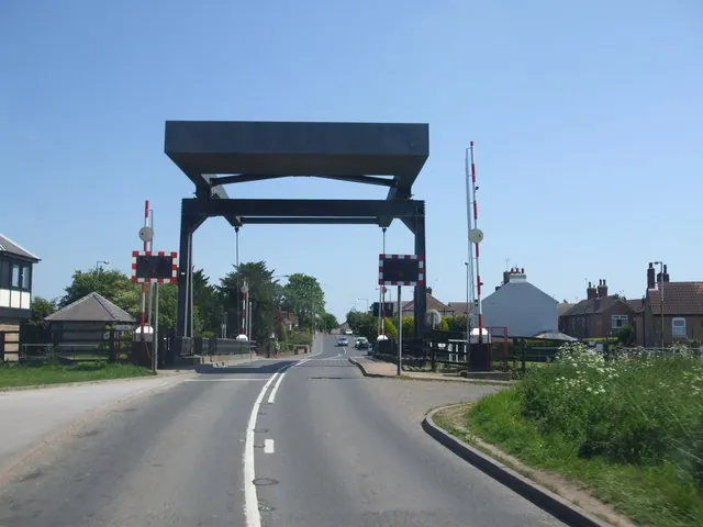
© Glyn Drury · Geograph · CC BY-SA 2.0
Images © their respective photographers, licensed under CC BY-SA 2.0 and reused here with attribution. Photographs depict listed buildings, churches and monuments near this settlement and may show neighbouring villages.
Data derived from the Open Domesday project (opendomesday.org), based on the Domesday Book dataset compiled by Professor J.J.N. Palmer and team. The Domesday Book (1086) is in the public domain.
Found an inaccuracy? [email protected]