Kirk Lancaster in the Domesday Book (1086)
The settlement of Kirk Lancaster is recorded in William I’s Domesday survey of 1086, entered under the hundred of Amounderness in Yorkshire. The survey assessed Kirk Lancaster at 1 carucate of taxable land.
At the time of the survey, Kirk Lancaster supported a recorded population of 14 villagers, 1 smallholder, 6 slaves, working 6 ploughs between them.
By 1086 Kirk Lancaster was worth 10 shillings, up from 6 shillings before the Conquest – a sign this community came through the Conquest without being ruined.
Resources Recorded at Kirk Lancaster (1086)
- Meadow: 10 acres
- Woodland: 10 swine render
Other Settlements in Amounderness
- Aighton
- Aldcliffe
- Aldingham
- Arkholme
- Aschebi
- Ashton [Hall]
- Ashton [on Ribble]
- Austwick
- Barbon
- Bardsea
- Bare
- Barnoldswick
- Barton
- Beetham
The Meaning of the Name
The name Kirk Lancaster is of Anglo-Saxon origin. Its final element derives from the Old English word ceaster (from Latin castra), a Roman fort or walled town. The first element is most likely a personal name or an early descriptive term, now difficult to recover with certainty. Taken together the name probably meant something close to ‘a Roman fort’.
Remarkably, the name has changed little since 1086, when the Domesday scribes wrote it as Kirk Lancaster.
Listed Buildings Near Kirk Lancaster
Historic England records 296 listed buildings within about a mile of Kirk Lancaster. Listing protects structures of special architectural or historic interest, graded I (exceptional), II* (particularly important) and II.
Grade II*
- Ring O’ Bells Public House - 0.03 km
Grade II
- 1, Queen Square - 0.02 km
- 3 and 5, Queen Square - 0.02 km
- 4 and 6, Queen Street - 0.03 km
- United Reformed Church - 0.04 km
- Becontree House - 0.04 km
- 48 and 50, King Street - 0.04 km
- 40 and 42, King Street - 0.05 km
- 1, Queen Street - 0.05 km
- 4, Queen Square - 0.06 km
- High Street Cottage - 0.07 km
- 2, Queen Square - 0.07 km
- Pair of Gate Piers and Wall at Roadside, West of United Reformed Church - 0.07 km
- 87, King Street - 0.07 km
- 34-38, King Street - 0.07 km
- Highmount House and Attached Railings - 0.08 km
- 91, King Street - 0.08 km
- 1B, Queen Street - 0.08 km
- 12, Queen Street - 0.08 km
- 89, King Street - 0.08 km
- Windermere House - 0.08 km
- 93, King Street - 0.09 km
- 14, Queen Street - 0.09 km
- 95 and 97, King Street - 0.09 km
…and 272 more listed structures in the area.
Scheduled Monuments Near Kirk Lancaster
Scheduled monuments are nationally important archaeological sites given legal protection. 3 lie within roughly a mile of Kirk Lancaster:
- Glass melting and annealing workshop; part of Shrigley and Hunt’s stained glass manufacturing workshops - 0.32 km
- Part of a Roman fort and its associated vicus and remains of a pre-Conquest monastery and a Benedictine priory on Castle Hill - 0.58 km
- Skerton Bridge - 0.95 km
Nearby Domesday Settlements
Other places recorded in the 1086 survey within a few miles:
Heritage Around [Kirk] Lancaster
Photographs of churches, listed buildings and monuments in the vicinity, contributed by volunteers to the Geograph project and reused here under a Creative Commons licence.
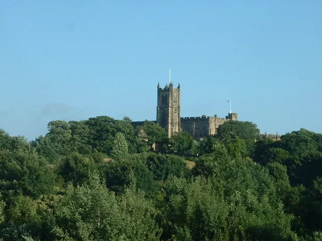
© David Medcalf · Geograph · CC BY-SA 2.0
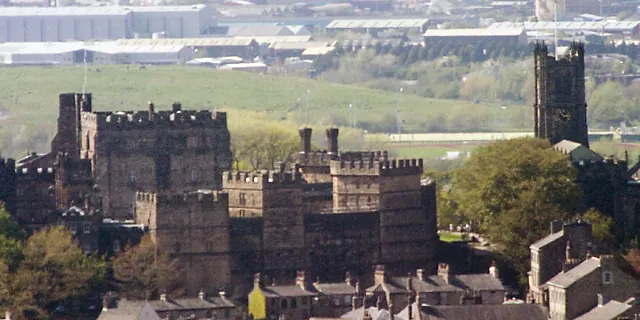
© Dave Logan · Geograph · CC BY-SA 2.0
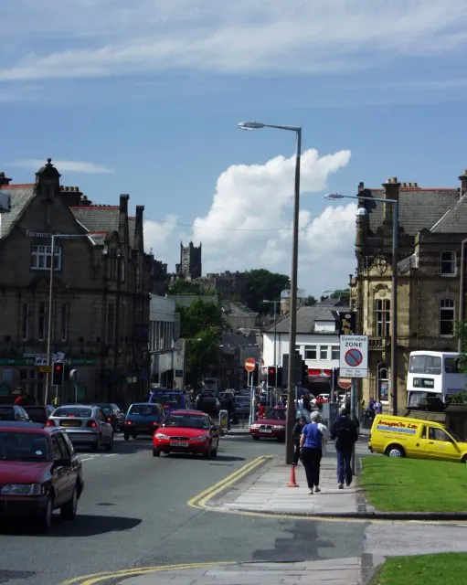
© mym · Geograph · CC BY-SA 2.0
Images © their respective photographers, licensed under CC BY-SA 2.0 and reused here with attribution. Photographs depict listed buildings, churches and monuments near this settlement and may show neighbouring villages.
Data derived from the Open Domesday project (opendomesday.org), based on the Domesday Book dataset compiled by Professor J.J.N. Palmer and team. The Domesday Book (1086) is in the public domain.
Found an inaccuracy? [email protected]