Kirk Ella in the Domesday Book (1086)
Kirk Ella appears in the Domesday Book of 1086, entered under the hundred of Hessle in Yorkshire. The survey assessed Kirk Ella at 10 carucates of taxable land.
At the time of the survey, Kirk Ella supported a recorded population of 6 villagers, 7 smallholders, 9 slaves, working 5 ploughs between them.
The survey records Kirk Ella’s value at 7.5 shillings in 1086. No pre-Conquest figure survives – not unusual in the North, where records were disrupted by the Harrying and by the patchy coverage of the survey.
Resources Recorded at Kirk Ella (1086)
- Mills: 2 mills (valued at 5d)
- Pigs: 13
- Sheep: 154
- Horses (cobs): 1
- Meadow: 90 acres
- Woodland: 46 acres
Other Settlements in Hessle
- Anlaby
- Breighton
- Bubwith
- Chetelestorp
- Chrachetorp
- Crachetorp
- Gunby
- Hessle
- Lund
- Myton
- Newsholme
- Riplingham
- Siuuarbi
- Spaldington
The Meaning of the Name
The origin of the name Kirk Ella is not securely established from its modern form alone; like many settlement names in the North it likely combines an Old English or Old Norse personal name with a landscape term.
Remarkably, the name has changed little since 1086, when the Domesday scribes wrote it as Kirk Ella.
Listed Buildings Near Kirk Ella
Historic England records 20 listed buildings within about a mile of Kirk Ella. Listing protects structures of special architectural or historic interest, graded I (exceptional), II* (particularly important) and II.
Grade I
- Church of Saint Andrew - 0.64 km
Grade II
- Wolfreton House - 0.17 km
- Stable Block at Wolfreton House - 0.2 km
- Kirk Ella House and Attached Garage - 0.5 km
- Wolfreton Grange Wolfreton Hall - 0.51 km
- The Old Hall - 0.55 km
- The Vicarage - 0.56 km
- Outbuilding Approximately 7 Metres North West of Number 8 (Vicarage) - 0.59 km
- Trevayne - 0.6 km
- 4, Church Lane - 0.61 km
- Chest Tomb of Jane Whitaker About 50 Metres South West of West Tower of Church of Saint Andrew - 0.66 km
- 11, Packman Lane - 0.74 km
- Kirk Ella Hall - 0.93 km
- Gates, Gate Piers and Flanking Walls to Anlaby House - 1.0 km
- Anlaby House - 1.09 km
- The Old Hall - 1.09 km
- The Beeches - 1.19 km
- Former Stableblock to Tranby Croft - 1.23 km
- Willerby Hall - 1.26 km
- Tranby Croft - 1.26 km
Kirk Ella Today
Today Kirk Ella lies within the administrative area of East Riding of Yorkshire, and the settlement recorded a population of 5,863 at the 2021 census. Nine and a half centuries separate that figure from the small rural community the Domesday survey recorded here in 1086.
Read more about modern Kirk Ella on Wikipedia .
Nearby Domesday Settlements
Other places recorded in the 1086 survey within a few miles:
- Wolfreton - 1.0 km E
- Willerby - 1.4 km NE
- Anlaby - 1.4 km SE
- Chrachetorp - 3.2 km S
- Crachetorp - 3.2 km S
- Hessle - 3.2 km S
Heritage Around [Kirk] Ella
Photographs of churches, listed buildings and monuments in the vicinity, contributed by volunteers to the Geograph project and reused here under a Creative Commons licence.
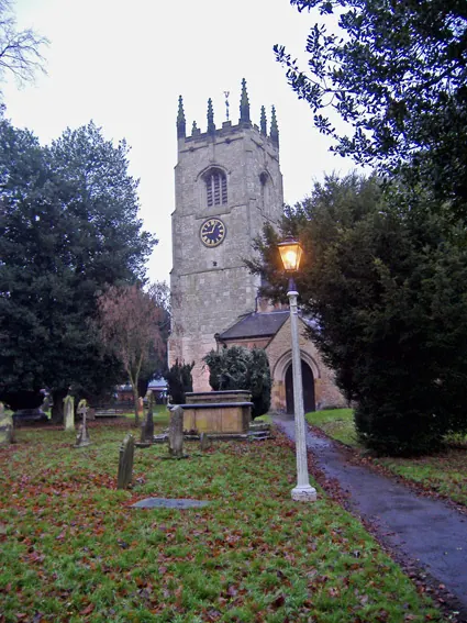
© Paul Harrop · Geograph · CC BY-SA 2.0
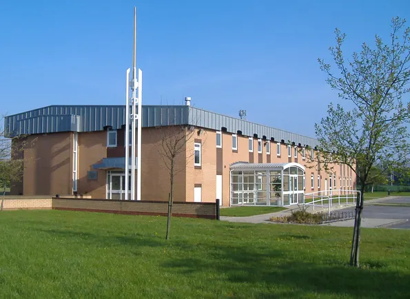
© Paul Harrop · Geograph · CC BY-SA 2.0
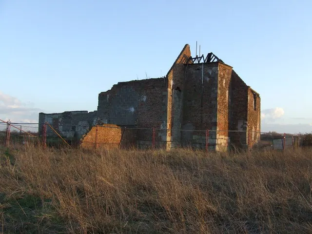
© Steve Buttle · Geograph · CC BY-SA 2.0
Images © their respective photographers, licensed under CC BY-SA 2.0 and reused here with attribution. Photographs depict listed buildings, churches and monuments near this settlement and may show neighbouring villages.
Data derived from the Open Domesday project (opendomesday.org), based on the Domesday Book dataset compiled by Professor J.J.N. Palmer and team. The Domesday Book (1086) is in the public domain.
Found an inaccuracy? [email protected]