Kirk and North Deighton in the Domesday Book (1086)
The 1086 Domesday survey records the settlement of Kirk and North Deighton, entered under the hundred of Burghshire in Yorkshire.
Other Settlements in Burghshire
- Addlethorpe
- Aismunderby
- Aldfield
- Allerton [Mauleverer]
- Arkendale
- Askwith
- Azerley
- Barrowby [Grange]
- Beckwith [House]
- Besthaim
- Bestham
- Bewerley
- Bilton
- Birstwith
The Meaning of the Name
The name Kirk and North Deighton is of Anglo-Saxon origin. Its final element derives from the Old English word tūn, a farmstead or village. The first element is most likely a personal name or an early descriptive term, now difficult to recover with certainty. Taken together the name probably meant something close to ‘a farmstead’.
Remarkably, the name has changed little since 1086, when the Domesday scribes wrote it as Kirk and North Deighton.
Listed Buildings Near Kirk and North Deighton
Historic England records 11 listed buildings within about a mile of Kirk and North Deighton. Listing protects structures of special architectural or historic interest, graded I (exceptional), II* (particularly important) and II.
Grade I
- Church of All Saints - 0.99 km
Grade II
- Dovecote Farmhouse - 0.46 km
- Gate Piers, Flanking Walls and End Piers Approximately 25 Metres South of the Manor - 0.58 km
- The Manor - 0.64 km
- Outbuilding Approximately 5 Metres East of Old Hall - 0.73 km
- Pump Against North East Corner of Old Hall - 0.74 km
- Old Hall - 0.75 km
- Dovecote Approximately 30 Metres West of Old Hall - 0.77 km
- Sundial in churchyard approximately 15 metres south of Church of All Saints - 1.0 km
- Kirk Deighton Hall - 1.02 km
- Gate Piers in Boundary Wall Approximately 3 Metres South of Church Gateway - 1.03 km
Scheduled Monuments Near Kirk and North Deighton
Scheduled monuments are nationally important archaeological sites given legal protection. 2 lie within roughly a mile of Kirk and North Deighton:
- Howe Hill motte and bailey castle - 0.3 km
- Green Howe bowl barrow, 280m south of Bank House - 0.77 km
Kirk and North Deighton Today
Today Kirk and North Deighton lies within the administrative area of North Yorkshire, and the settlement recorded a population of 78 at the 2021 census. Nine and a half centuries separate that figure from the small rural community the Domesday survey recorded here in 1086.
Read more about modern North Deighton on Wikipedia .
Nearby Domesday Settlements
Other places recorded in the 1086 survey within a few miles:
- Newsome Farm - 2.0 km W
- Great and Little Ribston - 2.2 km NW
- Caldeuuelle - 3.0 km W
- Cradeuuelle - 3.0 km W
- Spofforth - 3.0 km W
- Cowthorpe - 3.2 km E
Heritage Around [Kirk and North] Deighton
Photographs of churches, listed buildings and monuments in the vicinity, contributed by volunteers to the Geograph project and reused here under a Creative Commons licence.
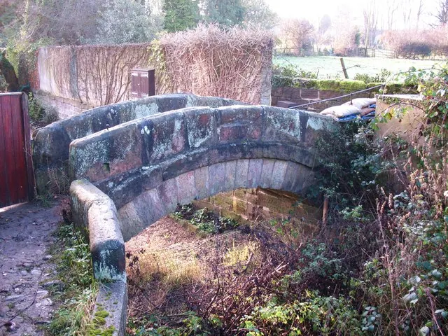
© Gordon Hatton · Geograph · CC BY-SA 2.0
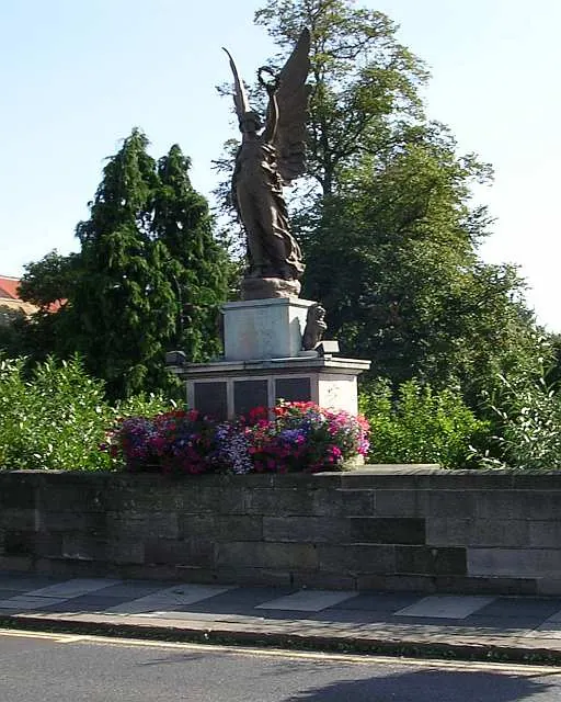
© Betty Longbottom · Geograph · CC BY-SA 2.0
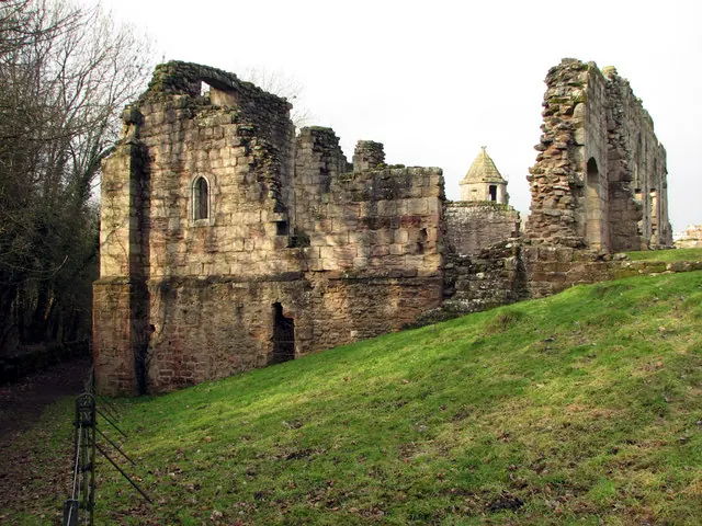
© John Sutton · Geograph · CC BY-SA 2.0
Images © their respective photographers, licensed under CC BY-SA 2.0 and reused here with attribution. Photographs depict listed buildings, churches and monuments near this settlement and may show neighbouring villages.
Data derived from the Open Domesday project (opendomesday.org), based on the Domesday Book dataset compiled by Professor J.J.N. Palmer and team. The Domesday Book (1086) is in the public domain.
Found an inaccuracy? [email protected]