Kirby Moorside in the Domesday Book (1086)
The 1086 Domesday survey records the settlement of Kirby Moorside, entered under the hundred of Maneshou in Yorkshire.
Other Settlements in Maneshou
- Amotherby
- Ampleforth
- Appleton [le Street]
- Beadlam
- Brawby
- Broughton
- Cawton
- Coulton
- Fadmoor
- Fryton
- Gillamoor
- Gilling [East]
- Griff [Farm]
- Grimston
The Meaning of the Name
The name Kirby Moorside is of Scandinavian origin. Its final element derives from the Old Norse word bý, a farmstead or village. The first element is most likely a personal name or an early descriptive term, now difficult to recover with certainty. Taken together the name probably meant something close to ‘a farmstead’.
Names of this type are a fingerprint of Scandinavian settlement: they cluster across the old Danelaw, where Norse-speaking settlers renamed or founded villages from the late 9th century onward.
Remarkably, the name has changed little since 1086, when the Domesday scribes wrote it as Kirby Moorside.
Listed Buildings Near Kirby Moorside
Historic England records 46 listed buildings within about a mile of Kirby Moorside. Listing protects structures of special architectural or historic interest, graded I (exceptional), II* (particularly important) and II.
Grade II
- The Georgian House and Attached Railings to Front - 0.01 km
- 18 and 20, West End - 0.01 km
- 8 West End - 0.06 km
- Windmill at Rear of no 17 - 0.06 km
- 2, West End - 0.07 km
- Numbers 11 and 13 (The Black Swan Inn) and 15 (Maws Stores) - 0.08 km
- The George and Dragon Inn and Attached Railings to Front and the Yorkshire Bank - 0.08 km
- 3, West End - 0.08 km
- K6 Telephone Kiosk Outside Post Office - 0.1 km
- The White Horse Inn - 0.1 km
- National Westminster Bank - 0.1 km
- Garth End House Kirkby Klippers and Buckingham House and Attached Railings to Front and Side - 0.11 km
- 14, Market Place - 0.11 km
- Kings Head Hotel - 0.12 km
- Tolbooth - 0.12 km
- No 5 and Attached Railings to Front - 0.13 km
- No 12 With Attached Outbuilding to Rear - 0.13 km
- Range of Market Stalls Attached to Rear of no 12 - 0.13 km
- Tontine House and Carriage Arch to Right - 0.13 km
- Number 8 and Attached Railings - 0.13 km
- The White Swan Inn - 0.13 km
- Market Cross Approximately 2 Metres South of no 12 - 0.13 km
- 11 Crown Square - 0.14 km
- 2, Howe End and 1, Piercy End - 0.15 km
…and 22 more listed structures in the area.
Scheduled Monuments Near Kirby Moorside
Scheduled monuments are nationally important archaeological sites given legal protection. 2 lie within roughly a mile of Kirby Moorside:
- Moated site known as Vivers Hill Castle, 300m north east of the parish church - 0.48 km
- Neville Castle, 430m north west of the parish church - 0.5 km
Kirby Moorside Today
Today Kirby Moorside lies within the administrative area of North Yorkshire, and the settlement recorded a population of 3,110 at the 2021 census. Nine and a half centuries separate that figure from the small rural community the Domesday survey recorded here in 1086.
Read more about modern Kirkbymoorside on Wikipedia .
Nearby Domesday Settlements
Other places recorded in the 1086 survey within a few miles:
- Hoveton - 2.0 km W
- Walton - 2.2 km SW
- Welburn - 2.2 km SW
- Great Edstone - 2.2 km SE
- Little Edstone - 2.8 km SE
- Fadmoor - 3.6 km NW
Heritage Around Kirby [Moorside]
Photographs of churches, listed buildings and monuments in the vicinity, contributed by volunteers to the Geograph project and reused here under a Creative Commons licence.
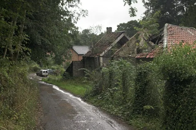
© Colin Grice · Geograph · CC BY-SA 2.0
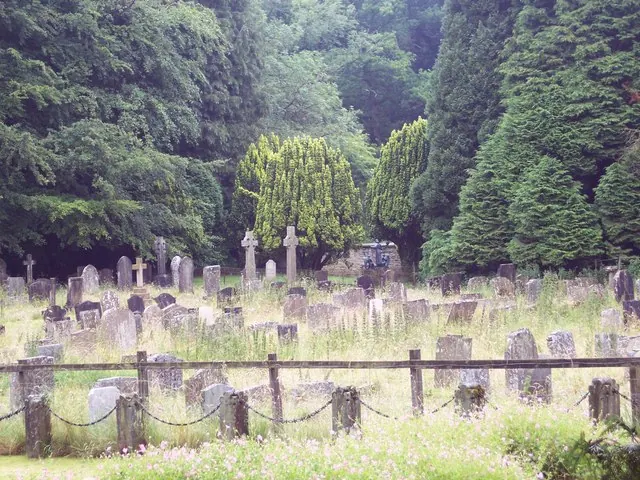
© Maigheach-gheal · Geograph · CC BY-SA 2.0
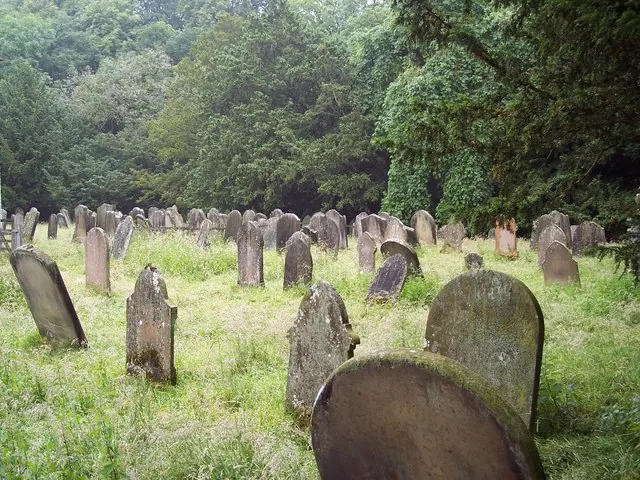
© Maigheach-gheal · Geograph · CC BY-SA 2.0
Images © their respective photographers, licensed under CC BY-SA 2.0 and reused here with attribution. Photographs depict listed buildings, churches and monuments near this settlement and may show neighbouring villages.
Data derived from the Open Domesday project (opendomesday.org), based on the Domesday Book dataset compiled by Professor J.J.N. Palmer and team. The Domesday Book (1086) is in the public domain.
Found an inaccuracy? [email protected]