Kippax in the Domesday Book (1086)
The 1086 Domesday survey records the settlement of Kippax, entered under the hundred of Skyrack in Yorkshire.
Other Settlements in Skyrack
- Adel
- Allerton [Bywater]
- Alwoodley
- Arthington
- Austhorpe
- Baildon
- Bardsey
- Barwick [in Elmet]
- Bichertun
- Bicherun
- Bingley
- Birkby [Hill]
- Bramhope
- Burden [Head]
The Meaning of the Name
The origin of the name Kippax is not securely established from its modern form alone; like many settlement names in the North it likely combines an Old English or Old Norse personal name with a landscape term.
Remarkably, the name has changed little since 1086, when the Domesday scribes wrote it as Kippax.
Listed Buildings Near Kippax
Historic England records 7 listed buildings within about a mile of Kippax. Listing protects structures of special architectural or historic interest, graded I (exceptional), II* (particularly important) and II.
Grade I
- Church of St Mary - 0.16 km
Grade II
- Grave Cover Approximately 30 Metres East of Church of St Mary - 0.17 km
- Stone Shaft Approximately 5 Metres South of Church of St Mary - 0.17 km
- 33-37, High Street Ls25 - 0.26 km
- Kippax House - 0.28 km
- Gatepiers to Former Kippax Park Between Numbers 38 and 40 - 0.29 km
- Windmill Approximately 30 Metres West of Mill Farmhouse - 1.18 km
Scheduled Monuments Near Kippax
Scheduled monuments are nationally important archaeological sites given legal protection. 1 lies within roughly a mile of Kippax:
- Manor Garth Hill ringwork - 0.09 km
Kippax Today
Today Kippax lies within the administrative area of Leeds, and the settlement recorded a population of 9,994 at the 2021 census. Nine and a half centuries separate that figure from the small rural community the Domesday survey recorded here in 1086.
Read more about modern Kippax on Wikipedia .
Nearby Domesday Settlements
Other places recorded in the 1086 survey within a few miles:
- Ledston - 2.8 km SE
- Great and Little Preston - 3.0 km W
- Swillington - 3.0 km W
- Allerton Bywater - 3.0 km S
- Sturton Grange - 3.2 km N
- Garforth - 3.2 km N
Heritage Around Kippax
Photographs of churches, listed buildings and monuments in the vicinity, contributed by volunteers to the Geograph project and reused here under a Creative Commons licence.
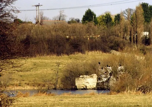
© David Pickersgill · Geograph · CC BY-SA 2.0
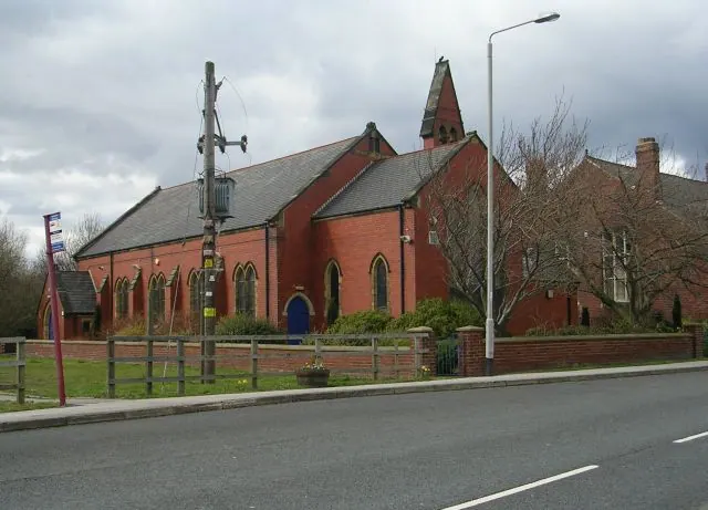
© Betty Longbottom · Geograph · CC BY-SA 2.0
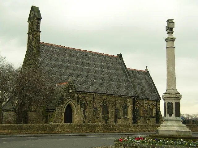
© Paul Johnston-Knight · Geograph · CC BY-SA 2.0
Images © their respective photographers, licensed under CC BY-SA 2.0 and reused here with attribution. Photographs depict listed buildings, churches and monuments near this settlement and may show neighbouring villages.
Data derived from the Open Domesday project (opendomesday.org), based on the Domesday Book dataset compiled by Professor J.J.N. Palmer and team. The Domesday Book (1086) is in the public domain.
Found an inaccuracy? [email protected]