Kipling Cotes in the Domesday Book (1086)
The settlement of Kipling Cotes is recorded in William I’s Domesday survey of 1086, entered under the hundred of Weighton in Yorkshire. The survey assessed Kipling Cotes at 14 carucates of taxable land.
At the time of the survey, Kipling Cotes supported a recorded population of 19 villagers, 8 smallholders, working 17 ploughs between them.
The valuation dropped between 1066 and 1086. Before 1066, Kipling Cotes was worth 21.5 shillings; by 1086 that had dropped to 18.5 shillings – a fall of 13%. Most Yorkshire villages that lost value on this scale were swept up in the Harrying of the North – William’s scorched-earth campaign of 1069–70.
Resources Recorded at Kipling Cotes (1086)
- Mills: 1 mill (valued at 12d)
- Fisheries: 2
Other Settlements in Weighton
- Cleaving [Grange]
- Easthorpe
- Goodmanham
- Harswell
- Holme [upon Spalding Moor]
- Houghton
- Londesborough
- Sancton
- Shipton[thorpe]
- Torp
- Torpi
- Towthorpe
- [Bishop] Burton
- [Market] Weighton
The Meaning of the Name
The origin of the name Kipling Cotes is not securely established from its modern form alone; like many settlement names in the North it likely combines an Old English or Old Norse personal name with a landscape term.
Remarkably, the name has changed little since 1086, when the Domesday scribes wrote it as Kipling Cotes.
Nearby Domesday Settlements
Other places recorded in the 1086 survey within a few miles:
- Easthorpe - 2.8 km SW
- Middleton on the Wolds - 4.5 km NE
- Londesborough - 4.5 km SW
- Goodmanham - 4.5 km SW
- Warter - 5.0 km NW
- Cleaving Grange - 5.1 km W
Heritage Around Kipling Cotes
Photographs of churches, listed buildings and monuments in the vicinity, contributed by volunteers to the Geograph project and reused here under a Creative Commons licence.
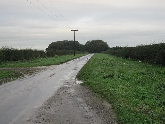
© Roger Gilbertson · Geograph · CC BY-SA 2.0
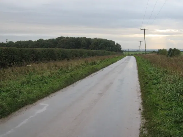
© Roger Gilbertson · Geograph · CC BY-SA 2.0
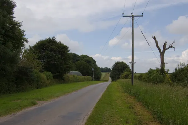
© Paul Harrop · Geograph · CC BY-SA 2.0
Images © their respective photographers, licensed under CC BY-SA 2.0 and reused here with attribution. Photographs depict listed buildings, churches and monuments near this settlement and may show neighbouring villages.
Data derived from the Open Domesday project (opendomesday.org), based on the Domesday Book dataset compiled by Professor J.J.N. Palmer and team. The Domesday Book (1086) is in the public domain.
Found an inaccuracy? [email protected]