Kingthorpe House in the Domesday Book (1086)
The settlement of Kingthorpe House is recorded in William I’s Domesday survey of 1086, entered under the hundred of Dic in Yorkshire.
Other Settlements in Dic
- Aislaby
- Allerston
- Appleton [le Moors]
- Aschelesmersc
- Aschilesmares
- Barton [le Street]
- Baschebi
- Baschesbi
- Brompton
- Burniston
- Burton [Dale]
- Cawthorn
- Cayton
- Chigogemers
The Meaning of the Name
The name Kingthorpe House is of Scandinavian origin. Its final element derives from the Old Norse word þorp, an outlying or secondary farmstead. The first element is most likely a personal name or an early descriptive term, now difficult to recover with certainty. Taken together the name probably meant something close to ‘a outlying farm’.
Names of this type are a fingerprint of Scandinavian settlement: they cluster across the old Danelaw, where Norse-speaking settlers renamed or founded villages from the late 9th century onward.
Remarkably, the name has changed little since 1086, when the Domesday scribes wrote it as Kingthorpe House.
Listed Buildings Near Kingthorpe House
Historic England records 3 listed buildings within about a mile of Kingthorpe House. Listing protects structures of special architectural or historic interest, graded I (exceptional), II* (particularly important) and II.
Grade II
- Garden Wall Attached to Rear of Kingthorpe Hall - 0.27 km
- Gatepiers and Wall Attached, Approximately 10 Metres North East of Kingthorpe Hall - 0.31 km
- Kingthorpe House and Iron Railings Attached to Steps on Garden Front - 0.31 km
Scheduled Monuments Near Kingthorpe House
Scheduled monuments are nationally important archaeological sites given legal protection. 5 lie within roughly a mile of Kingthorpe House:
- Round barrow 650m north west of St Hilda’s Church, Ellerburn - 0.84 km
- Round barrow 520m north west of St Hilda’s Church, Ellerburn - 0.94 km
- Prehistoric linear boundary in Ellerburn Wood, 370m north west of St Hilda’s Church - 1.02 km
- Round cairn on Pexton Moor, 150m north east of Pexton Moor Farm - 1.23 km
- Two prehistoric linear boundaries with associated features, 680m ESE and 880m NNE of Pexton Moor Farm - 1.54 km
Kingthorpe House Today
Today Kingthorpe House lies within the administrative area of Lockton.
Nearby Domesday Settlements
Other places recorded in the 1086 survey within a few miles:
- Ellerburn - 1.4 km SE
- Farmanby - 2.0 km E
- Chigogemers - 2.0 km S
- Chigomersc - 2.0 km S
- Ghigogesmersc - 2.0 km S
- Kettlethorpe - 2.0 km S
Heritage Around Kingthorpe [House]
Photographs of churches, listed buildings and monuments in the vicinity, contributed by volunteers to the Geograph project and reused here under a Creative Commons licence.
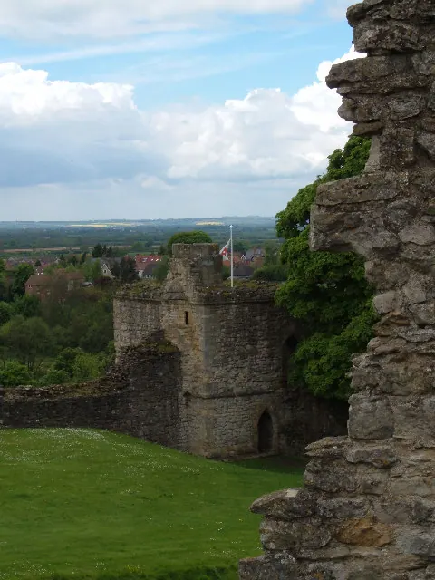
© Alison Stamp · Geograph · CC BY-SA 2.0
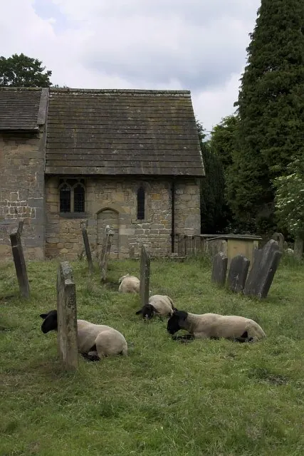
© Colin Grice · Geograph · CC BY-SA 2.0
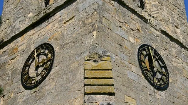
© Alan Walker · Geograph · CC BY-SA 2.0
Images © their respective photographers, licensed under CC BY-SA 2.0 and reused here with attribution. Photographs depict listed buildings, churches and monuments near this settlement and may show neighbouring villages.
Data derived from the Open Domesday project (opendomesday.org), based on the Domesday Book dataset compiled by Professor J.J.N. Palmer and team. The Domesday Book (1086) is in the public domain.
Found an inaccuracy? [email protected]