Kimberworth in the Domesday Book (1086)
The settlement of Kimberworth is recorded in William I’s Domesday survey of 1086, entered under the hundred of Strafforth in Yorkshire.
Other Settlements in Strafforth
- Adwick [le Street]
- Adwick [upon Dearne]
- Armthorpe
- Aston
- Attercliffe
- Auckley
- Aughton [Hall]
- Austerfield
- Balby
- Barnbrough
- Barnby [Dun]
- Bentley
- Bilham [House]
- Billingley
The Meaning of the Name
The name Kimberworth is of Anglo-Saxon origin. Its final element derives from the Old English word worð, an enclosure or homestead. The first element is most likely a personal name or an early descriptive term, now difficult to recover with certainty. Taken together the name probably meant something close to ‘a enclosure’.
Remarkably, the name has changed little since 1086, when the Domesday scribes wrote it as Kimberworth.
Listed Buildings Near Kimberworth
Historic England records 9 listed buildings within about a mile of Kimberworth. Listing protects structures of special architectural or historic interest, graded I (exceptional), II* (particularly important) and II.
Grade II
- Kimberworth Manor House - 0.22 km
- Barn With Remains of Horse-engine House Approximately 25 Metres South East of Kimberworth Manor House - 0.24 km
- Dovecote Approximately 25 Metres South South East of Kimberworth Manor House - 0.25 km
- Farmbuilding Approximately 65 Metres South East of Kimberworth Manor House - 0.27 km
- Church of St Thomas - 0.37 km
- L-shaped Range of Farmbuildings Now Forming Part of Parks Department Depot - 0.5 km
- Milepost Opposite Junction With Old Wortley Road - 0.66 km
- Ferham House - 1.1 km
- Bridge Across the Sheffield to Rotherham Railway Line - 1.17 km
Scheduled Monuments Near Kimberworth
Scheduled monuments are nationally important archaeological sites given legal protection. 6 lie within roughly a mile of Kimberworth:
- Kimberworth motte and bailey castle - 0.07 km
- Kimberworth Manor moated site - 0.22 km
- Roman Ridge: section 250yds (230m) in length N of Kimberworth Park Road - 0.49 km
- Roman Ridge: section 400yds (370m) long from Hill Top Lane to Little Common Lane - 1.06 km
- Roman Ridge: section 110yds (100m) long, 450yds (410m) NNE of Kimberworth Park Farm - 1.28 km
- Roman Ridge: SE of Hill Top (section 700yds (660m) long, Meadowhall Road to Hill Top) - 1.32 km
Kimberworth Today
Today Kimberworth lies within the administrative area of Rotherham.
Read more about modern Kimberworth on Wikipedia .
Nearby Domesday Settlements
Other places recorded in the 1086 survey within a few miles:
- Greasbrough - 2.2 km NE
- Tinsley - 3.0 km S
- Rotherham - 3.2 km E
- Brinsworth - 4.1 km S
- Rawmarsh - 4.2 km NE
- Thorpe Hesley - 4.2 km NW
Heritage Around Kimberworth
Photographs of churches, listed buildings and monuments in the vicinity, contributed by volunteers to the Geograph project and reused here under a Creative Commons licence.
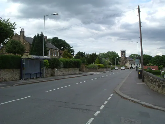
© John · Geograph · CC BY-SA 2.0
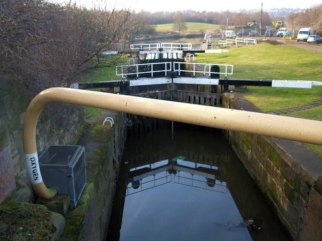
© Steve Fareham · Geograph · CC BY-SA 2.0

© Steve Fareham · Geograph · CC BY-SA 2.0
Images © their respective photographers, licensed under CC BY-SA 2.0 and reused here with attribution. Photographs depict listed buildings, churches and monuments near this settlement and may show neighbouring villages.
Data derived from the Open Domesday project (opendomesday.org), based on the Domesday Book dataset compiled by Professor J.J.N. Palmer and team. The Domesday Book (1086) is in the public domain.
Found an inaccuracy? [email protected]