Kilnwick in the Domesday Book (1086)
Kilnwick appears in the Domesday Book of 1086, entered under the hundred of Sneculfcros in Yorkshire. The survey assessed Kilnwick at 2 carucates of taxable land.
At the time of the survey, Kilnwick supported a recorded population of 4 villagers, 4 smallholders, 1 slave, working 3 ploughs between them.
The numbers record a sharp fall. Before 1066, Kilnwick was worth 5 shillings; by 1086 that had dropped to 2 shillings – a fall of 60%. Most Yorkshire villages that lost value on this scale were swept up in the Harrying of the North – William’s scorched-earth campaign of 1069–70.
Resources Recorded at Kilnwick (1086)
- Mills: 1 mill (valued at 1d)
- Churches: 1
- Meadow: 8 acres
- Woodland: 1 * 1 leagues
Other Settlements in Sneculfcros
- Aike
- Beswick
- Beverley
- Bracken
- Dunnington
- Etton
- Gardham
- Grimston
- Holme [on the Wolds]
- Ianulfestorp
- Leconfield
- Lockington
- Middleton [on the Wolds]
- Molescroft
The Meaning of the Name
The name Kilnwick is of Anglo-Saxon origin. Its final element derives from the Old English word wīc, a dwelling, dairy farm or trading settlement. The first element is most likely a personal name or an early descriptive term, now difficult to recover with certainty. Taken together the name probably meant something close to ‘a specialised farm’.
Remarkably, the name has changed little since 1086, when the Domesday scribes wrote it as Kilnwick.
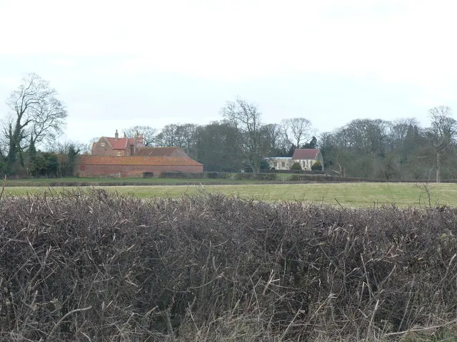
Listed Buildings Near Kilnwick
Historic England records 8 listed buildings within about a mile of Kilnwick. Listing protects structures of special architectural or historic interest, graded I (exceptional), II* (particularly important) and II.
Grade II*
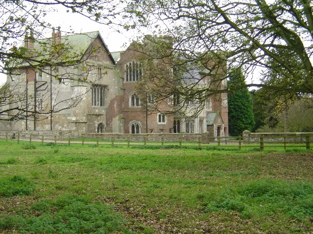
- Church of All Saints - 0.11 km
Grade II
- The Gardens and Attached Garden Walls - 0.02 km
- Gate Piers at Shrubbery Garth - 0.05 km
- Ha-ha to Former Kilnwick Old Hall - 0.15 km
- Gate Piers to Kilnwick Old Hall - 0.24 km
- Well Head at Kilnwick Old Hall in Courtyard on South Side of Kilnwick Old Hall - 0.27 km
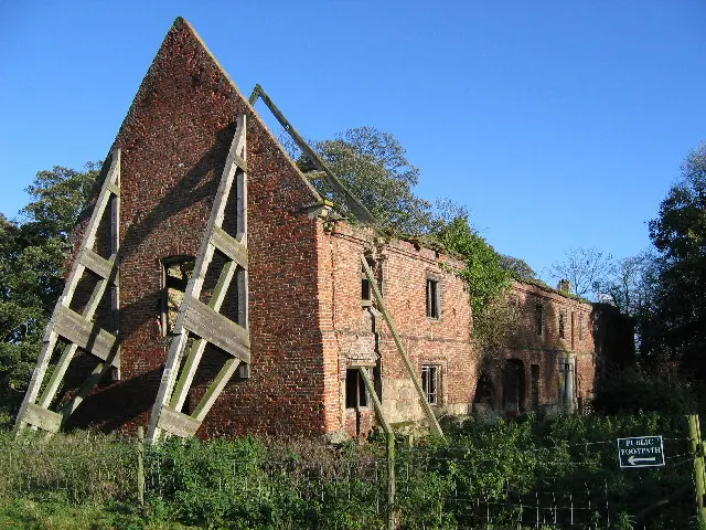
- Kilnwick Old Hall - 0.28 km
- Town End Farm and Outbuildings to Right and Left - 0.36 km
Kilnwick Today
Today Kilnwick lies within the administrative area of Beswick.
Read more about modern Kilnwick on Wikipedia .
Nearby Domesday Settlements
Other places recorded in the 1086 survey within a few miles:
- Bracken - 1.4 km NW
- Lockington - 2.0 km S
- Lund - 2.2 km SW
- Beswick - 2.2 km SE
- Watton - 3.0 km E
- Neswick Hall - 3.6 km NW
Heritage Around Kilnwick
Photographs of churches, listed buildings and monuments in the vicinity, contributed by volunteers to the Geograph project and reused here under a Creative Commons licence.
© Stephen Horncastle · Geograph · CC BY-SA 2.0
© Ian Lavender · Geograph · CC BY-SA 2.0
© Neil Smith · Geograph · CC BY-SA 2.0
Images © their respective photographers, licensed under CC BY-SA 2.0 and reused here with attribution. Photographs depict listed buildings, churches and monuments near this settlement and may show neighbouring villages.
Data derived from the Open Domesday project (opendomesday.org), based on the Domesday Book dataset compiled by Professor J.J.N. Palmer and team. The Domesday Book (1086) is in the public domain.
Found an inaccuracy? [email protected]