Kilnsea in the Domesday Book (1086)
Kilnsea is named in the Domesday Book, compiled by Norman commissioners in 1086, entered under the hundred of Holderness [South Hundred] in Yorkshire. The survey assessed Kilnsea at 1.5 carucates of taxable land.
At the time of the survey, Kilnsea supported a recorded population of 9 villagers, 2 smallholders, 2 slaves, 1 freeman, working 4 ploughs between them.
By 1086 Kilnsea was worth 4 shillings, up from 3.83 shillings before the Conquest – in contrast to many Yorkshire neighbours whose valuations collapsed.
Resources Recorded at Kilnsea (1086)
- Fisheries: 4
Other Settlements in Holderness [South Hundred]
- Andrebi
- Burstwick
- Camerton [Hall]
- Dimlington
- Easington
- Grimston
- Halsham
- Hilston
- Hollym
- Holmpton
- Keyingham
- Monkwith
- Newton [Garth]
- Nuthill
The Meaning of the Name
The origin of the name Kilnsea is not securely established from its modern form alone; like many settlement names in the North it likely combines an Old English or Old Norse personal name with a landscape term.
Remarkably, the name has changed little since 1086, when the Domesday scribes wrote it as Kilnsea.
Kilnsea Today
Today Kilnsea lies within the administrative area of Easington.
Read more about modern Kilnsea on Wikipedia .
Nearby Domesday Settlements
Other places recorded in the 1086 survey within a few miles:
- Northorpe - 1.4 km SE
- Easington - 5.0 km NW
- Dimlington - 5.8 km NW
- Out Newton - 7.2 km NW
- Weeton - 8.6 km NW
- Rysome Garth - 9.2 km NW
Heritage Around Kilnsea
Photographs of churches, listed buildings and monuments in the vicinity, contributed by volunteers to the Geograph project and reused here under a Creative Commons licence.
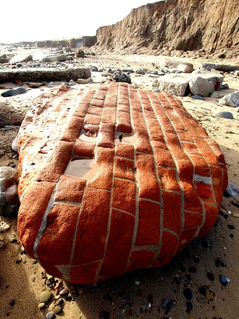
© Andy Beecroft · Geograph · CC BY-SA 2.0
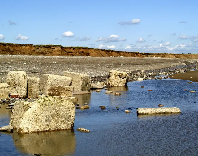
© Andy Beecroft · Geograph · CC BY-SA 2.0
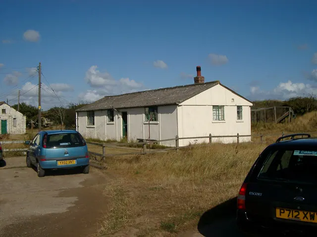
© Hugh Venables · Geograph · CC BY-SA 2.0
Images © their respective photographers, licensed under CC BY-SA 2.0 and reused here with attribution. Photographs depict listed buildings, churches and monuments near this settlement and may show neighbouring villages.
Location
53.6164°N, 0.1545°E · Holderness [South Hundred] hundred, Yorkshire
View larger map on OpenStreetMap →Data derived from the Open Domesday project (opendomesday.org), based on the Domesday Book dataset compiled by Professor J.J.N. Palmer and team. The Domesday Book (1086) is in the public domain.
Found an inaccuracy? [email protected]