Killerwick in the Domesday Book (1086)
Killerwick appears in the Domesday Book of 1086, entered under the hundred of Amounderness in Yorkshire.
Other Settlements in Amounderness
- Aighton
- Aldcliffe
- Aldingham
- Arkholme
- Aschebi
- Ashton [Hall]
- Ashton [on Ribble]
- Austwick
- Barbon
- Bardsea
- Bare
- Barnoldswick
- Barton
- Beetham
The Meaning of the Name
The name Killerwick is of Anglo-Saxon origin. Its final element derives from the Old English word wīc, a dwelling, dairy farm or trading settlement. The first element is most likely a personal name or an early descriptive term, now difficult to recover with certainty. Taken together the name probably meant something close to ‘a specialised farm’.
Remarkably, the name has changed little since 1086, when the Domesday scribes wrote it as Killerwick.
Listed Buildings Near Killerwick
Historic England records 64 listed buildings within about a mile of Killerwick. Listing protects structures of special architectural or historic interest, graded I (exceptional), II* (particularly important) and II.
Grade II
- Ashburner House at Dowdales School - 0.16 km
- Barns and Cow House to South of Farmyard at Elliscale Farm - 0.22 km
- Garden Wall to South and West of Elliscale Farmhouse Including Farm Building Attached to South West - 0.24 km
- Elliscale Farmhouse - 0.25 km
- Chappells Tavern - 0.42 km
- Former Weslyan Sunday School - 0.42 km
- Dalton Public Library - 0.44 km
- Cornerstone House - 0.44 km
- Numbers 2,3 and 4 and Attached Stable - 0.46 km
- Dalton House - 0.47 km
- 1, Skelgate - 0.48 km
- 33, Market Street - 0.49 km
- 19, 19A and 19B, Market Place - 0.49 km
- 2, Skelgate - 0.49 km
- Attached Outbuildings to Number 15 Baldwin House - 0.49 km
- Number 19 With Attached Barn and Front Garden Wall - 0.49 km
- 3, Market Street - 0.5 km
- 17, Market Place - 0.5 km
- 16, Market Place - 0.5 km
- 18, Market Place - 0.5 km
- 47, 49 and 51, Market Street - 0.5 km
- Hill Rise - 0.5 km
- Red Lion Hotel - 0.5 km
- Number 2 Part - 0.5 km
…and 40 more listed structures in the area.
Scheduled Monuments Near Killerwick
Scheduled monuments are nationally important archaeological sites given legal protection. 1 lies within roughly a mile of Killerwick:
- Dalton Castle - 0.53 km
Killerwick Today
Today Killerwick lies within the administrative area of Barrow-in-Furness, and the settlement recorded a population of 7,844 at the 2021 census. Nine and a half centuries separate that figure from the small rural community the Domesday survey recorded here in 1086.
Read more about modern Dalton Town with Newton on Wikipedia .
Nearby Domesday Settlements
Other places recorded in the 1086 survey within a few miles:
- Dalton in Furness - 1.0 km E
- Wart - 1.0 km E
- Orgrave - 1.4 km NE
- Stainton - 2.8 km SE
- Crivelton - 3.0 km S
- Bolton Farm - 3.6 km SE
Heritage Around Killerwick
Photographs of churches, listed buildings and monuments in the vicinity, contributed by volunteers to the Geograph project and reused here under a Creative Commons licence.
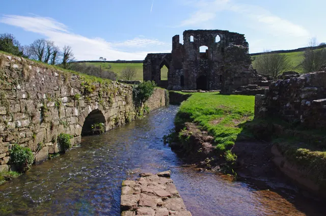
© Ian Taylor · Geograph · CC BY-SA 2.0
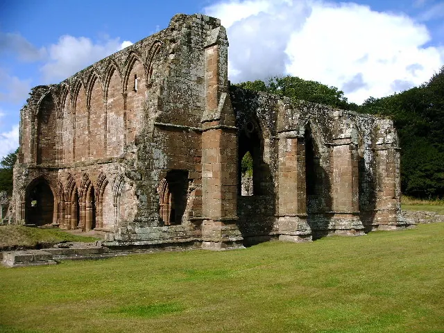
© David Jackson · Geograph · CC BY-SA 2.0
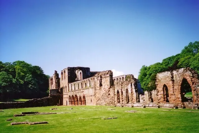
© Ruth Riddle · Geograph · CC BY-SA 2.0
Images © their respective photographers, licensed under CC BY-SA 2.0 and reused here with attribution. Photographs depict listed buildings, churches and monuments near this settlement and may show neighbouring villages.
Data derived from the Open Domesday project (opendomesday.org), based on the Domesday Book dataset compiled by Professor J.J.N. Palmer and team. The Domesday Book (1086) is in the public domain.
Found an inaccuracy? [email protected]