Kildwick in the Domesday Book (1086)
The 1086 Domesday survey records the settlement of Kildwick, entered under the hundred of Craven in Yorkshire.
Other Settlements in Craven
- Addingham
- Airton
- Anley
- Appletreewick
- Arncliffe
- Arnford
- Barnoldswick
- Bashall [Eaves]
- Battersby [Barn]
- Beamsley
- Birkby [Hall]
- Bogeuurde
- Bolton [Abbey]
- Bolton [by Bowland]
The Meaning of the Name
The name Kildwick is of Anglo-Saxon origin. Its final element derives from the Old English word wīc, a dwelling, dairy farm or trading settlement. The first element is most likely a personal name or an early descriptive term, now difficult to recover with certainty. Taken together the name probably meant something close to ‘a specialised farm’.
Remarkably, the name has changed little since 1086, when the Domesday scribes wrote it as Kildwick.
Listed Buildings Near Kildwick
Historic England records 43 listed buildings within about a mile of Kildwick. Listing protects structures of special architectural or historic interest, graded I (exceptional), II* (particularly important) and II.
Grade I
- Kildwick Bridge - 0.53 km
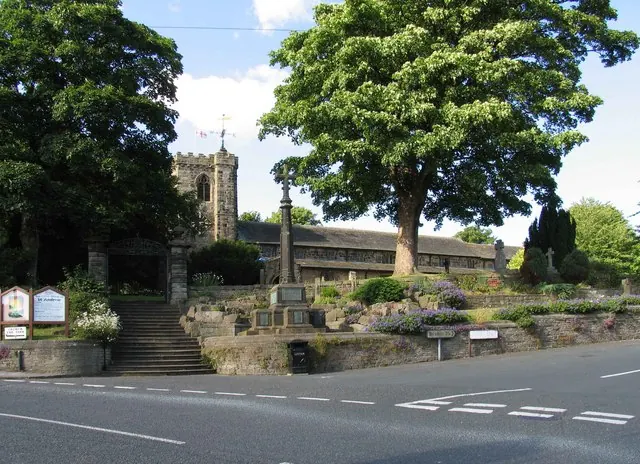
- Church of St Andrew - 0.62 km
Grade II
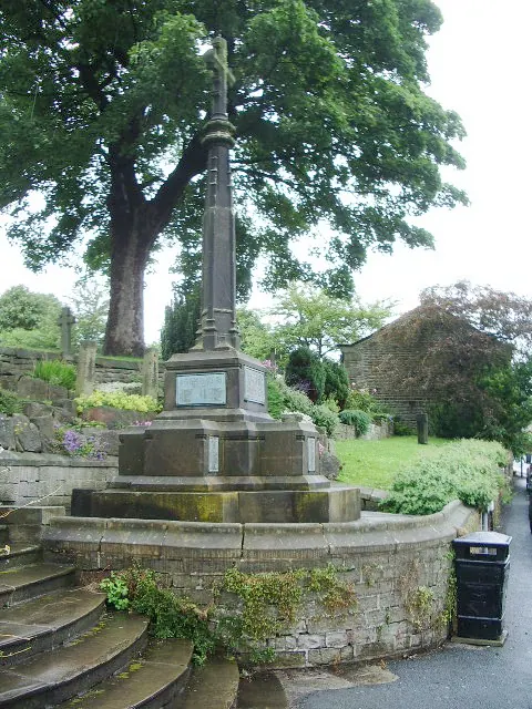
- Hearse House Approximately 20 Metres South East of Church of St Andrew - 0.56 km
- Sundial Shaft in Garden of Rememberance - 0.59 km
- Stocks Approximately 5 Metres East of South Gates to Church - 0.6 km
- South Gates Overthrow Gatepiers and Steps to Church of St Andrew - 0.61 km
- Milepost - 0.62 km
- Gates, Overthrow and Gate Piers Approximately 20 Metres West of Church of St Andrew - 0.66 km
- Parsons Bridge Over Leeds-liverpool Canal - 0.67 km
- Aqueduct on Leeds and Liverpool Canal - 0.74 km
- The Old Priory - 0.74 km
- The Mullions - 0.75 km
- 15, 17 and 19, Newby Road - 0.77 km
- Old White Bear Hotel - 0.79 km
- 23, Lyon Road - 0.8 km
- Ivy House - 0.8 km
- Kildwick Grange Farmhouse - 0.86 km
- Pavilion Approximately 50 Metres South East of Kildwick Hall - 0.87 km
- Buddhist Shrine in Garden Approximately 40 Metres to South East of Kildwick Hall - 0.88 km
- Gate Piers Approximately Two Metres South of Entrance to Kildwick Grange Hall - 0.88 km
- Buddhist Shrine in Garden Approximately 30 Metres to East of Kildwick Hall - 0.89 km
- Walls Enclosing Garden and Lower Terrace, With North Gate Piers, South Gate Piers and Steps - 0.89 km
- Grange Hall and Grange Hall Cottage - 0.89 km
- Garden Wall, Gatepiers and Urns Fronting Kildwick Hall - 0.9 km
…and 19 more listed structures in the area.
Scheduled Monuments Near Kildwick
Scheduled monuments are nationally important archaeological sites given legal protection. 1 lies within roughly a mile of Kildwick:
- Kildwick Bridge - 0.53 km
Kildwick Today
Today Kildwick lies within the administrative area of Craven, and the settlement recorded a population of 227 at the 2021 census. Nine and a half centuries separate that figure from the small rural community the Domesday survey recorded here in 1086.
Read more about modern Kildwick on Wikipedia .
Nearby Domesday Settlements
Other places recorded in the 1086 survey within a few miles:
Heritage Around Kildwick
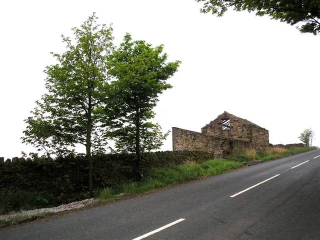
Photographs of churches, listed buildings and monuments in the vicinity, contributed by volunteers to the Geograph project and reused here under a Creative Commons licence.
© Dr Neil Clifton · Geograph · CC BY-SA 2.0
© Alexander P Kapp · Geograph · CC BY-SA 2.0
© David Rogers · Geograph · CC BY-SA 2.0
Images © their respective photographers, licensed under CC BY-SA 2.0 and reused here with attribution. Photographs depict listed buildings, churches and monuments near this settlement and may show neighbouring villages.
Data derived from the Open Domesday project (opendomesday.org), based on the Domesday Book dataset compiled by Professor J.J.N. Palmer and team. The Domesday Book (1086) is in the public domain.
Found an inaccuracy? [email protected]