Kildale in the Domesday Book (1086)
Kildale appears in the Domesday Book of 1086, entered under the hundred of Langbaurgh in Yorkshire.
Other Settlements in Langbaurgh
- Acklam
- Airy [Holme]
- Aislaby
- Arnodestorp
- Baldebi
- Barnaby
- Barwick
- Battersby
- Bergolbi
- Berguluesbi
- Blaten [Carr]
- Borrowby
- Breck
- Brotton
The Meaning of the Name
The name Kildale is of Scandinavian origin. Its final element derives from the Old Norse word dalr, a valley. The first element is most likely a personal name or an early descriptive term, now difficult to recover with certainty. Taken together the name probably meant something close to ‘a valley’.
Names of this type are a fingerprint of Scandinavian settlement: they cluster across the old Danelaw, where Norse-speaking settlers renamed or founded villages from the late 9th century onward.
Remarkably, the name has changed little since 1086, when the Domesday scribes wrote it as Kildale.
Listed Buildings Near Kildale
Historic England records 15 listed buildings within about a mile of Kildale. Listing protects structures of special architectural or historic interest, graded I (exceptional), II* (particularly important) and II.
Grade II
- Fern Deep - 0.16 km
- Linkon Chest Tomb Approximately 11 Metres South of South East Chancel Window of Church of Saints Gregory and Cuthbert - 0.18 km
- Cecilia Cottage - 0.19 km
- School House - 0.19 km
- Rowland Chest Tomb Approximately 10 Metres South of South East Chancel Window of Church of Saints Gregory and Cuthbert - 0.19 km
- Dunn Chest Tomb Approximately 13 Metres South of South East Chancel Window of Church of Saints Gregory and Cuthbert - 0.19 km
- Pair of Chest Tombs Approximately 8 Metres South of Buttress Between Nave and Chancel of Church of Saints Gregory and Cuthbert - 0.2 km
- Church of Saints Gregory and Cuthbert - 0.21 km
- Church House Farmhouse and Church House Cottage - 0.26 km
- Kildale Hall - 0.41 km
- Little Kildale - 0.94 km
- Bleach Mill Farmhouse and Attached Outbuilding - 1.01 km
- Park Farmhouse and Attached Farmbuilding to Left - 1.08 km
- Cowhouse and pigsty range attached to right of Park Farmhouse - 1.09 km
- Barn at Approximately 50 Metres to South-east of House - 1.11 km
Scheduled Monuments Near Kildale
Scheduled monuments are nationally important archaeological sites given legal protection. 1 lies within roughly a mile of Kildale:
Nearby Domesday Settlements
Other places recorded in the 1086 survey within a few miles:
- Battersby - 2.2 km SW
- Easby - 3.2 km W
- Little Ayton - 3.2 km W
- Airy Holme - 3.6 km NW
- Camisedale - 3.6 km SW
- Ingleby Greenhow - 3.6 km SW
Heritage Around Kildale
Photographs of churches, listed buildings and monuments in the vicinity, contributed by volunteers to the Geograph project and reused here under a Creative Commons licence.
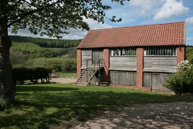
© Mick Garratt · Geograph · CC BY-SA 2.0
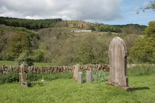
© Mick Garratt · Geograph · CC BY-SA 2.0
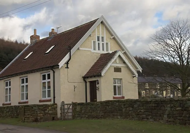
© Colin Grice · Geograph · CC BY-SA 2.0
Images © their respective photographers, licensed under CC BY-SA 2.0 and reused here with attribution. Photographs depict listed buildings, churches and monuments near this settlement and may show neighbouring villages.
Data derived from the Open Domesday project (opendomesday.org), based on the Domesday Book dataset compiled by Professor J.J.N. Palmer and team. The Domesday Book (1086) is in the public domain.
Found an inaccuracy? [email protected]