Kilburn in the Domesday Book (1086)
The settlement of Kilburn is recorded in William I’s Domesday survey of 1086, entered under the hundred of Yarlestre in Yorkshire. The survey assessed Kilburn at 0.5 carucates of taxable land.
At the time of the survey, Kilburn supported a recorded population of 2 smallholders.
By 1086 Kilburn was worth 1.25 shillings, up from 1 shilling before the Conquest – a sign this community came through the Conquest without being ruined.
Other Settlements in Yarlestre
- Arden [Hall]
- Asenby
- Bagby
- Baxby
- Bergebi
- Berghebi
- Bernebi
- Boltby
- Breckenbrough
- Carlton [Husthwaite]
- Carlton [Miniott]
- Catton
- Coxwold
- Crakehill
The Meaning of the Name
The origin of the name Kilburn is not securely established from its modern form alone; like many settlement names in the North it likely combines an Old English or Old Norse personal name with a landscape term.
Remarkably, the name has changed little since 1086, when the Domesday scribes wrote it as Kilburn.
Listed Buildings Near Kilburn
Historic England records 16 listed buildings within about a mile of Kilburn. Listing protects structures of special architectural or historic interest, graded I (exceptional), II* (particularly important) and II.
Grade II*
- Church of St Mary - 0.31 km
Grade II
- Mount Pleasant - 0.13 km
- Stable Approximately 13 Metres to North-east of Mount Pleasant - 0.14 km
- Pump on Green at Se 5172 7964 - 0.21 km
- Kilburn Hall - 0.22 km
- Barns Attached to Kilburn Hall on North - 0.23 km
- Temple House and Front Wall and Railings - 0.25 km
- Former School - 0.27 km
- War Memorial Set in Wall Approximately 7 Metres to South of Churchyard South Gateway - 0.29 km
- Mounting Block Approximately 6 Metres to South West of South Gate to Church of St Mary - 0.29 km
- Robert Thompsons Craftsmen Ltd - 0.35 km
- Blacksmith’s Cottage and attached outbuilding - 0.36 km
- Whitehorse View and the Old School - 0.38 km
- Barn Approximately 30 Metres to North-west of Village Farm - 0.44 km
- Weatherill Barn at Se 5210 7926 - 0.52 km
- Suncliffe Grange - 1.12 km
Kilburn Today
Today Kilburn lies within the administrative area of Kilburn High and Low, and the settlement recorded a population of 227 at recent figures. Nine and a half centuries separate that figure from the small rural community the Domesday survey recorded here in 1086.
Read more about modern Kilburn on Wikipedia .
Nearby Domesday Settlements
Other places recorded in the 1086 survey within a few miles:
- Wildon Grange - 1.0 km S
- Osgoodby Hall - 2.2 km NW
- Coxwold - 2.8 km SE
- Carlton Husthwaite - 3.6 km SW
- Baxby - 4.0 km S
- Thirkleby - 4.1 km W
Heritage Around Kilburn
Photographs of churches, listed buildings and monuments in the vicinity, contributed by volunteers to the Geograph project and reused here under a Creative Commons licence.
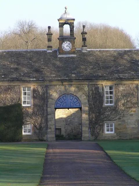
© Colin Grice · Geograph · CC BY-SA 2.0
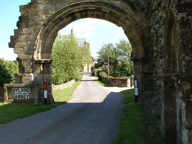
© Colin Grice · Geograph · CC BY-SA 2.0
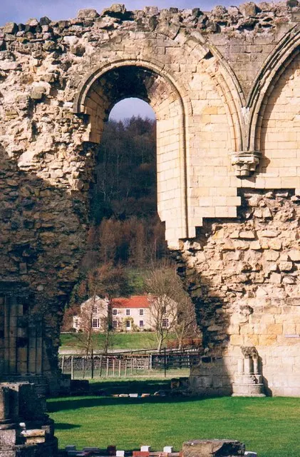
© Gordon Hatton · Geograph · CC BY-SA 2.0
Images © their respective photographers, licensed under CC BY-SA 2.0 and reused here with attribution. Photographs depict listed buildings, churches and monuments near this settlement and may show neighbouring villages.
Data derived from the Open Domesday project (opendomesday.org), based on the Domesday Book dataset compiled by Professor J.J.N. Palmer and team. The Domesday Book (1086) is in the public domain.
Found an inaccuracy? [email protected]