Kiddal Hall in the Domesday Book (1086)
Kiddal Hall is named in the Domesday Book, compiled by Norman commissioners in 1086, entered under the hundred of Skyrack in Yorkshire. The survey assessed Kiddal Hall at 1 carucate of taxable land.
At the time of the survey, Kiddal Hall supported a recorded population of 2 villagers, 36 smallholders, working 7 ploughs between them.
By 1086 Kiddal Hall was worth 15 shillings, up from 10 shillings before the Conquest – in contrast to many Yorkshire neighbours whose valuations collapsed.
Resources Recorded at Kiddal Hall (1086)
- Churches: 2
- Fisheries: 0
- Salthouses: 8
- Woodland: 3 swine render
Other Settlements in Skyrack
- Adel
- Allerton [Bywater]
- Alwoodley
- Arthington
- Austhorpe
- Baildon
- Bardsey
- Barwick [in Elmet]
- Bichertun
- Bicherun
- Bingley
- Birkby [Hill]
- Bramhope
- Burden [Head]
The Meaning of the Name
The origin of the name Kiddal Hall is not securely established from its modern form alone; like many settlement names in the North it likely combines an Old English or Old Norse personal name with a landscape term.
Remarkably, the name has changed little since 1086, when the Domesday scribes wrote it as Kiddal Hall.
Listed Buildings Near Kiddal Hall
Historic England records 10 listed buildings within about a mile of Kiddal Hall. Listing protects structures of special architectural or historic interest, graded I (exceptional), II* (particularly important) and II.
Grade II*
- West Wing, Potterton Hall - 1.11 km
Grade II
- Kiddal Hall and attached entrance gateway range of farmbuildings - 0.19 km
- Barn at Kiddal Hall Farm - 0.21 km
- Kiddal Hall Farmhouse - 0.23 km
- Milestone opposite junction with Kiddal Lane - 0.45 km
- Gate Piers and Quadrant Walls With Railings to Potterton Hall - 1.0 km
- Flying Horse Farmhouse - 1.06 km
- Barn With Integral Stables Approximately 15 Metres North of East Wing Potterton Hall - 1.12 km
- South Wing and Attached East Wing, Potterton Hall - 1.13 km
- Well Head and Two Troughs Approximately 20 Metres South of Pond - 1.21 km
Scheduled Monuments Near Kiddal Hall
Scheduled monuments are nationally important archaeological sites given legal protection. 1 lies within roughly a mile of Kiddal Hall:
- Deserted medieval village of Potterton - 1.22 km
Nearby Domesday Settlements
Other places recorded in the 1086 survey within a few miles:
- Potterton - 1.4 km SE
- Barwick in Elmet - 2.0 km S
- Monk Hay Stile - 2.2 km NE
- Thorner - 2.2 km NW
- Wheatcroft - 2.2 km NW
- Cowthwaite - 3.0 km E
Heritage Around Kiddal [Hall]
Photographs of churches, listed buildings and monuments in the vicinity, contributed by volunteers to the Geograph project and reused here under a Creative Commons licence.
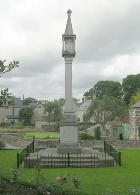
© Betty Longbottom · Geograph · CC BY-SA 2.0
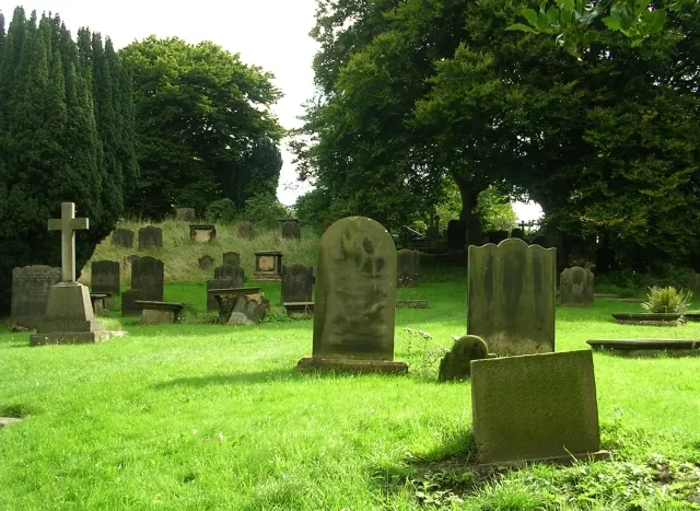
© Betty Longbottom · Geograph · CC BY-SA 2.0
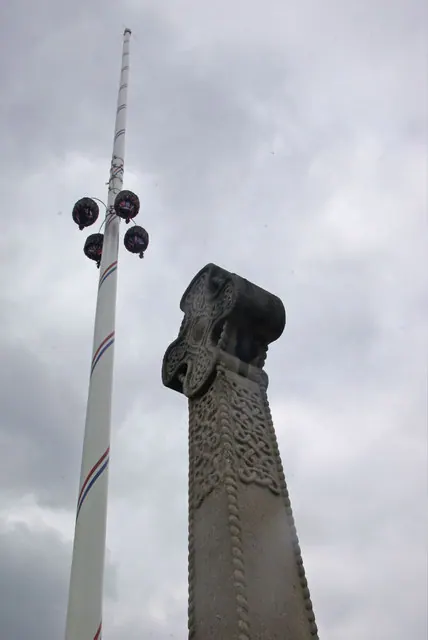
© Stephen McKay · Geograph · CC BY-SA 2.0
Images © their respective photographers, licensed under CC BY-SA 2.0 and reused here with attribution. Photographs depict listed buildings, churches and monuments near this settlement and may show neighbouring villages.
Data derived from the Open Domesday project (opendomesday.org), based on the Domesday Book dataset compiled by Professor J.J.N. Palmer and team. The Domesday Book (1086) is in the public domain.
Found an inaccuracy? [email protected]