Kexbrough in the Domesday Book (1086)
The 1086 Domesday survey records the settlement of Kexbrough, entered under the hundred of Staincross in Yorkshire.
Other Settlements in Staincross
- Adlingfleet
- Barnby [Hall]
- Barnsley
- Barugh
- Brierley
- Carlton
- Cawthorne
- Chevet
- Clactone
- Clayton [West]
- Darton
- Dodworth
- Hemsworth
- Hoyland [Swaine]
The Meaning of the Name
The name Kexbrough is of Anglo-Saxon origin. Its final element derives from the Old English word burh, a fortified place. The first element is most likely a personal name or an early descriptive term, now difficult to recover with certainty. Taken together the name probably meant something close to ‘a stronghold’.
Remarkably, the name has changed little since 1086, when the Domesday scribes wrote it as Kexbrough.
Listed Buildings Near Kexbrough
Historic England records 11 listed buildings within about a mile of Kexbrough. Listing protects structures of special architectural or historic interest, graded I (exceptional), II* (particularly important) and II.
Grade II
- Barn along south side of farmyard at Kexbrough Hall Farm - 0.38 km
- Kexbrough Bridge Over Cawthorpe Dike - 0.61 km
- L Shaped Range of Farm Buildings and Barn at Squirrel Hall Farm - 0.64 km
- Milestone Approximately 100 Metres South of Track to Snapethorpe Farm - 0.94 km
- Gardener’s Cottage at Birthwaite Hall - 1.09 km
- Birthwaite Hall Including Attached Range to West - 1.11 km
- East West Range of Farm Buildings at North End of Farmyard at Birthwaite Hall Farm - 1.13 km
- Pair of Gate Piers at North Entrance to Birthwaite Hall - 1.14 km
- Statue of John Silvester in Orchard of Birthwaite Hall - 1.19 km
- Cinder Hill Farmhouse - 1.21 km
- Ha-ha to Front and Garden Wall to Right of Cinder Hill Farmhouse - 1.22 km
Kexbrough Today
Today Kexbrough lies within the administrative area of Barnsley.
Read more about modern Kexbrough on Wikipedia .
Nearby Domesday Settlements
Other places recorded in the 1086 survey within a few miles:
- Barnby Hall - 1.0 km S
- Darton - 2.0 km E
- High Hoyland - 2.2 km NW
- Barugh - 2.2 km SE
- Cawthorne - 2.2 km SW
- Clayton West - 3.2 km W
Heritage Around Kexbrough
Photographs of churches, listed buildings and monuments in the vicinity, contributed by volunteers to the Geograph project and reused here under a Creative Commons licence.
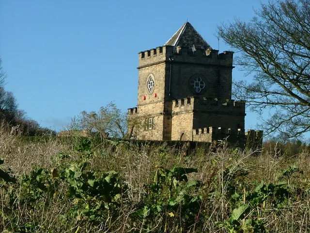
© Nigel Homer · Geograph · CC BY-SA 2.0
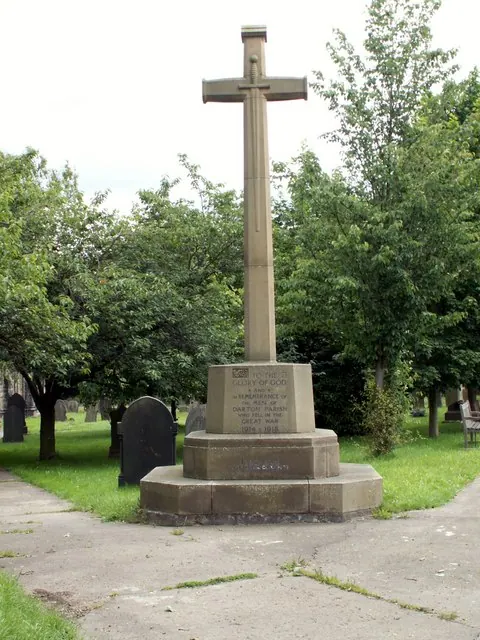
© John Fielding · Geograph · CC BY-SA 2.0
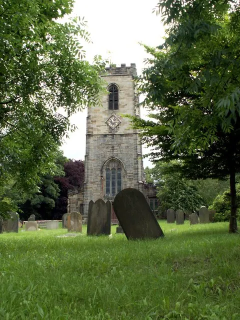
© John Fielding · Geograph · CC BY-SA 2.0
Images © their respective photographers, licensed under CC BY-SA 2.0 and reused here with attribution. Photographs depict listed buildings, churches and monuments near this settlement and may show neighbouring villages.
Data derived from the Open Domesday project (opendomesday.org), based on the Domesday Book dataset compiled by Professor J.J.N. Palmer and team. The Domesday Book (1086) is in the public domain.
Found an inaccuracy? [email protected]