Kex Moor in the Domesday Book (1086)
The settlement of Kex Moor is recorded in William I’s Domesday survey of 1086, entered under the hundred of Burghshire in Yorkshire. The survey assessed Kex Moor at 12 carucates of taxable land.
At the time of the survey, Kex Moor supported a recorded population of 5 villagers, 57 freemanmen, working 14 ploughs between them.
By 1086 Kex Moor was worth 10 shillings, up from 6 shillings before the Conquest – a sign this community came through the Conquest without being ruined.
The survey lists 2 manors at Kex Moor under different lords. Splitting a single settlement between multiple tenants was common across the North – Saxon estates broken up and handed to William’s followers after 1066.
Resources Recorded at Kex Moor (1086)
- Mills: 1 mill (valued at 3d)
- Churches: 1
- Meadow: 60 acres
Other Settlements in Burghshire
- Addlethorpe
- Aismunderby
- Aldfield
- Allerton [Mauleverer]
- Arkendale
- Askwith
- Azerley
- Barrowby [Grange]
- Beckwith [House]
- Besthaim
- Bestham
- Bewerley
- Bilton
- Birstwith
The Meaning of the Name
The origin of the name Kex Moor is not securely established from its modern form alone; like many settlement names in the North it likely combines an Old English or Old Norse personal name with a landscape term.
Remarkably, the name has changed little since 1086, when the Domesday scribes wrote it as Kex Moor.
Listed Buildings Near Kex Moor
Historic England records 5 listed buildings within about a mile of Kex Moor. Listing protects structures of special architectural or historic interest, graded I (exceptional), II* (particularly important) and II.
Grade II
- Cart-shed/granary to Kexmoor Farmhouse East - 0.6 km
- Dovecote at Kexmoor Farm East - 0.63 km
- Kexmoor Farmhouse East and Attached Outbuilding and Pump - 0.64 km
- Gateposts Approximately 15 Metres to South of Foulgate Nook Farmhouse - 0.85 km
- Foulgate Nook Farmhouse - 0.86 km
Nearby Domesday Settlements
Other places recorded in the 1086 survey within a few miles:
- Bramley Grange - 1.0 km N
- Carlesmoor - 2.2 km SW
- Swetton - 2.8 km SW
- Laverton - 2.8 km SE
- Hawcoat - 3.0 km S
- Grewelthorpe - 3.2 km E
Heritage Around Kex Moor
Photographs of churches, listed buildings and monuments in the vicinity, contributed by volunteers to the Geograph project and reused here under a Creative Commons licence.
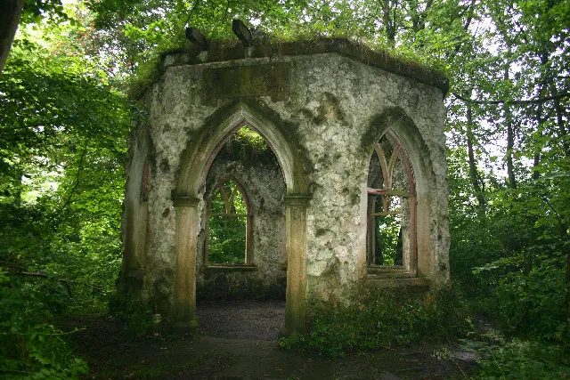
© Uncredited · Geograph · CC BY-SA 2.0
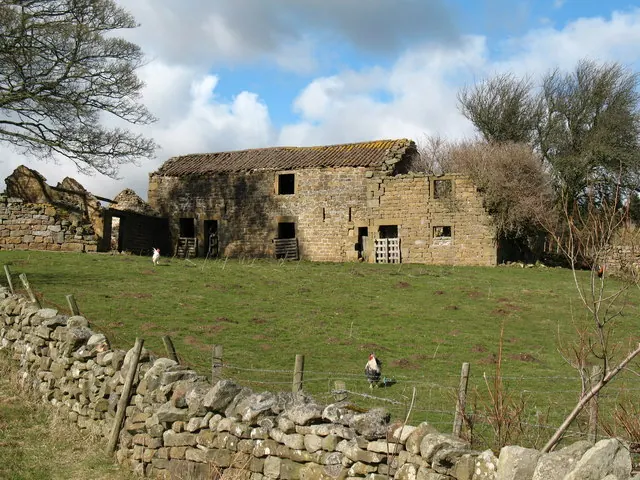
© Gordon Hatton · Geograph · CC BY-SA 2.0
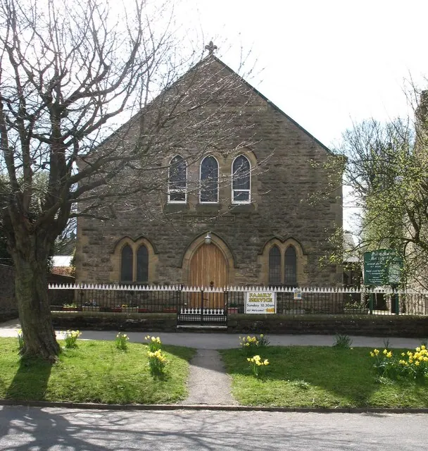
© Gordon Hatton · Geograph · CC BY-SA 2.0
Images © their respective photographers, licensed under CC BY-SA 2.0 and reused here with attribution. Photographs depict listed buildings, churches and monuments near this settlement and may show neighbouring villages.
Data derived from the Open Domesday project (opendomesday.org), based on the Domesday Book dataset compiled by Professor J.J.N. Palmer and team. The Domesday Book (1086) is in the public domain.
Found an inaccuracy? [email protected]