Kettlewell in the Domesday Book (1086)
The settlement of Kettlewell is recorded in William I’s Domesday survey of 1086, entered under the hundred of Craven in Yorkshire.
Other Settlements in Craven
- Addingham
- Airton
- Anley
- Appletreewick
- Arncliffe
- Arnford
- Barnoldswick
- Bashall [Eaves]
- Battersby [Barn]
- Beamsley
- Birkby [Hall]
- Bogeuurde
- Bolton [Abbey]
- Bolton [by Bowland]
The Meaning of the Name
The name Kettlewell is of Anglo-Saxon origin. Its final element derives from the Old English word wella, a spring or stream. The first element is most likely a personal name or an early descriptive term, now difficult to recover with certainty. Taken together the name probably meant something close to ‘a spring’.
Remarkably, the name has changed little since 1086, when the Domesday scribes wrote it as Kettlewell.
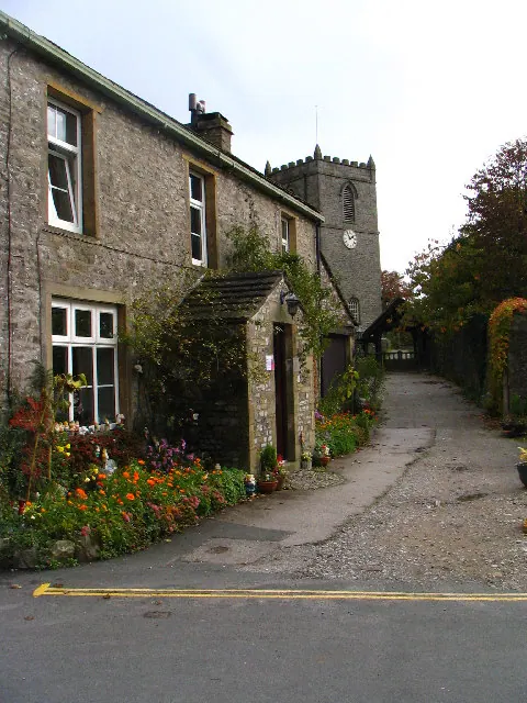
Listed Buildings Near Kettlewell
Historic England records 17 listed buildings within about a mile of Kettlewell. Listing protects structures of special architectural or historic interest, graded I (exceptional), II* (particularly important) and II.
Grade II*
- Fold Farmhouse - 0.46 km
- Church of St Mary - 0.51 km
Grade II
- The Old Hall - 0.43 km
- Dam Side Cottage With Outbuilding to Right - 0.46 km
- Dam Side House With Forecourt Railings and Gates and Attached Barn to Right - 0.48 km
- Grave Slab 1 Metre South of Chancel of Church of St Mary - 0.5 km
- The Vicarage - 0.53 km
- West Gate Farmhouse With Barn Attached to Right - 0.54 km
- The Manor House - 0.55 km
- The King’s Head - 0.55 km
- Manor Cottage - 0.57 km
- The Green - 0.59 km
- Low Hall - 0.71 km
- K6 Telephone Kiosk - 0.72 km
- Town Foot Bridge - 0.73 km
- Kettlewell Bridge - 0.87 km
- Knipe Scar Limekiln - 1.05 km
Kettlewell Today
Today Kettlewell lies within the administrative area of Kettlewell with Starbotton, and the settlement recorded a population of 321 at recent figures. Nine and a half centuries separate that figure from the small rural community the Domesday survey recorded here in 1086.
Read more about modern Kettlewell on Wikipedia .
Nearby Domesday Settlements
Other places recorded in the 1086 survey within a few miles:
Heritage Around Kettlewell
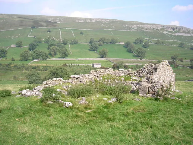
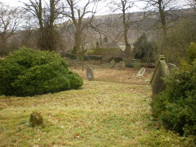
Photographs of churches, listed buildings and monuments in the vicinity, contributed by volunteers to the Geograph project and reused here under a Creative Commons licence.
© John Illingworth · Geograph · CC BY-SA 2.0
© Alexander P Kapp · Geograph · CC BY-SA 2.0
© Doug Elliot · Geograph · CC BY-SA 2.0
Images © their respective photographers, licensed under CC BY-SA 2.0 and reused here with attribution. Photographs depict listed buildings, churches and monuments near this settlement and may show neighbouring villages.
Data derived from the Open Domesday project (opendomesday.org), based on the Domesday Book dataset compiled by Professor J.J.N. Palmer and team. The Domesday Book (1086) is in the public domain.
Found an inaccuracy? [email protected]