Kepwick in the Domesday Book (1086)
The settlement of Kepwick is recorded in William I’s Domesday survey of 1086, entered under the hundred of Allerton in Yorkshire. The survey assessed Kepwick at 2.5 carucates of taxable land.
At the time of the survey, Kepwick supported a recorded population of 16 villagers, 14 smallholders, 5 slaves, 5 freemanmen, working 8 ploughs between them.
By 1086 Kepwick was worth 6 shillings, up from 5 shillings before the Conquest – a sign this community came through the Conquest without being ruined.
Resources Recorded at Kepwick (1086)
- Churches: 1
- Cattle: 5
- Pigs: 15
- Sheep: 80
- Horses (cobs): 3
- Meadow: 9 acres
- Woodland: 80 pigs
Other Settlements in Allerton
- Ainderby [Steeple]
- Appleton [Wiske]
- Arncliffe [Hall]
- Birkby
- Borrowby
- Brompton
- Cowesby
- Crosby [Grange]
- Dale [Town]
- Deighton
- Ellerbeck
- Foxton
- Girsby
- Hawnby
The Meaning of the Name
The name Kepwick is of Anglo-Saxon origin. Its final element derives from the Old English word wīc, a dwelling, dairy farm or trading settlement. The first element is most likely a personal name or an early descriptive term, now difficult to recover with certainty. Taken together the name probably meant something close to ‘a specialised farm’.
Remarkably, the name has changed little since 1086, when the Domesday scribes wrote it as Kepwick.
Listed Buildings Near Kepwick
Historic England records 13 listed buildings within about a mile of Kepwick. Listing protects structures of special architectural or historic interest, graded I (exceptional), II* (particularly important) and II.
Grade II
- Kepwick Hall With Attached Service Wing and Coach House - 0.4 km
- Gates to Kepwick Hall - 0.59 km
- Park Farmhouse - 0.72 km
- Holly House and Attached Front Wall - 0.8 km
- Blue Row - 0.82 km
- Stay House and attached cottage - 0.86 km
- Joiner’s Shop - 0.87 km
- Howe Hill Monument - 1.14 km
- The Almhouses - 1.18 km
- Outbuilding Approximately 1 Metre to South of West End of the Almshouses - 1.19 km
- Middle Cottage Post Office Cottage - 1.2 km
- Barn to East of Grange Farmhouse With Attached Wheelhouse and Cowhouse - 1.23 km
- Church of St Michael and All Angels - 1.27 km
Scheduled Monuments Near Kepwick
Scheduled monuments are nationally important archaeological sites given legal protection. 14 lie within roughly a mile of Kepwick:
- Round barrow 250m north of Cowesby Wood - 0.27 km
- Round barrow 40m west of Butcher’s Wood - 0.33 km
- Gallow Hill round barrow - 0.86 km
- Round barrow 50m south of Gallow Hill - 0.89 km
- Round barrow 300m NE of Hastings Wood - 1.08 km
- Round barrow N of Clarke Scars - 1.19 km
- Two round barrows 400m NE of Hastings Wood - 1.24 km
- Three round barrows 600m NW of Steeple Cross - 1.27 km
- Square barrow 200m NE of Clarke Scars - 1.27 km
- Wayside cross 600m east of Gallow Hill, known as Friar’s Cross - 1.32 km
…and 4 more.
Kepwick Today
Today Kepwick lies within the administrative area of Hambleton, and the settlement recorded a population of 82 at the 2021 census. Nine and a half centuries separate that figure from the small rural community the Domesday survey recorded here in 1086.
Read more about modern Kepwick on Wikipedia .
Nearby Domesday Settlements
Other places recorded in the 1086 survey within a few miles:
- Cowesby - 1.4 km SW
- Nether Silton - 2.8 km NW
- Kirby Knowle - 3.2 km S
- Upsall - 3.6 km SW
- Over Silton - 3.6 km NW
- Leake - 4.0 km W
Heritage Around Kepwick
Photographs of churches, listed buildings and monuments in the vicinity, contributed by volunteers to the Geograph project and reused here under a Creative Commons licence.
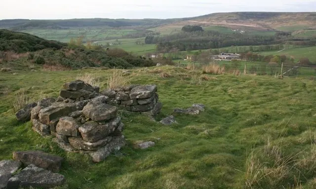
© Mick Garratt · Geograph · CC BY-SA 2.0
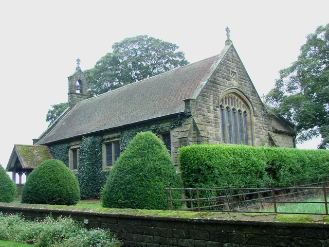
© Bill Henderson · Geograph · CC BY-SA 2.0
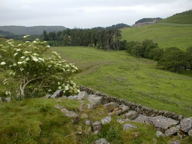
© Mick Garratt · Geograph · CC BY-SA 2.0
Images © their respective photographers, licensed under CC BY-SA 2.0 and reused here with attribution. Photographs depict listed buildings, churches and monuments near this settlement and may show neighbouring villages.
Data derived from the Open Domesday project (opendomesday.org), based on the Domesday Book dataset compiled by Professor J.J.N. Palmer and team. The Domesday Book (1086) is in the public domain.
Found an inaccuracy? [email protected]