Kendal in the Domesday Book (1086)
Kendal is named in the Domesday Book, compiled by Norman commissioners in 1086, entered under the hundred of Amounderness in Yorkshire.
Other Settlements in Amounderness
- Aighton
- Aldcliffe
- Aldingham
- Arkholme
- Aschebi
- Ashton [Hall]
- Ashton [on Ribble]
- Austwick
- Barbon
- Bardsea
- Bare
- Barnoldswick
- Barton
- Beetham
The Meaning of the Name
The origin of the name Kendal is not securely established from its modern form alone; like many settlement names in the North it likely combines an Old English or Old Norse personal name with a landscape term.
Remarkably, the name has changed little since 1086, when the Domesday scribes wrote it as Kendal.
Listed Buildings Near Kendal
Historic England records 169 listed buildings within about a mile of Kendal. Listing protects structures of special architectural or historic interest, graded I (exceptional), II* (particularly important) and II.
Grade II
- Yard 83 (Dr Manning’s Yard) Smoke House to South West of Nos 14,16 - 0.06 km
- Yard 83 (Dr Manning’s Yard) Nos 14 and 16 and Passage - 0.07 km
- Yard 83 (Dr Manning’s Yard) - 0.08 km
- Yard 83 (Dr Manning’s Yard) - 0.09 km
- Yard 83 (Dr Manning’s Yard) - 0.09 km
- 71-75, Highgate - 0.1 km
- No 69 (Including Nos 69A and 69B) - 0.11 km
- Number 99 and Entrance to Yard 97 - 0.11 km
- Number 117 and Entrance to Yard 119 - 0.13 km
- 80 and 80A, Highgate - 0.13 km
- 96, Highgate - 0.13 km
- 100, Highgate - 0.13 km
- Wall With Bee Boles to Rear of no 45 - 0.13 km
- New Inn - 0.13 km
- The Shakespeare Inn and Basement Shop - 0.14 km
- 19, Lowther Street - 0.14 km
- Number 41 and Entrance to Yard 43 - 0.15 km
- 9, Lowther Street - 0.15 km
- 29, Lowther Street - 0.15 km
- Snuff Works - 0.15 km
- The Brewery - 0.16 km
- 20, Lowther Street - 0.16 km
- Number 60 and Entrance to Yard 62 - 0.16 km
- Sandes Hospital Cottages - 0.16 km
…and 145 more listed structures in the area.
Scheduled Monuments Near Kendal
Scheduled monuments are nationally important archaeological sites given legal protection. 6 lie within roughly a mile of Kendal:
- Miller Bridge - 0.2 km
- Castle Howe motte and bailey - 0.31 km
- Nether Bridge - 0.55 km
- Stramongate Bridge - 0.56 km
- Kendal Castle and associated earthworks, and earlier ringwork - 0.61 km
- Greenside lime kiln 480m west of Castle Howe - 0.83 km
Kendal Today
Today Kendal lies within the administrative area of Westmorland and Furness, and the settlement recorded a population of 29,594 at the 2021 census. Nine and a half centuries separate that figure from the small rural community the Domesday survey recorded here in 1086.
Read more about modern Kendal on Wikipedia .
Nearby Domesday Settlements
Other places recorded in the 1086 survey within a few miles:
- Mint House - 2.2 km NE
- Bothelford - 3.0 km S
- Helsington - 3.2 km S
- Patton Hall - 5.0 km NE
- Strickland Roger - 5.4 km N
- Old Hutton - 6.4 km SE
Heritage Around Kendal
Photographs of churches, listed buildings and monuments in the vicinity, contributed by volunteers to the Geograph project and reused here under a Creative Commons licence.
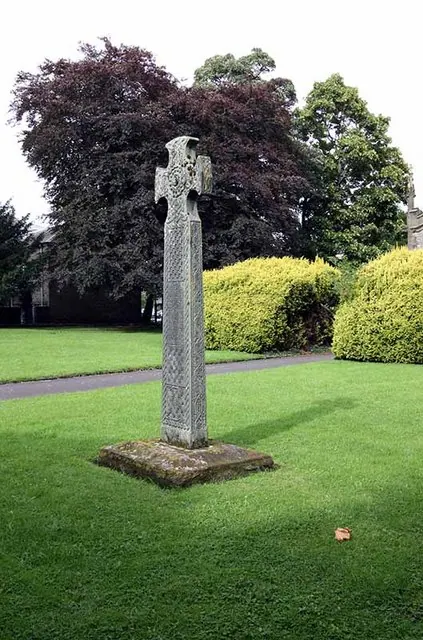
© John Salmon · Geograph · CC BY-SA 2.0
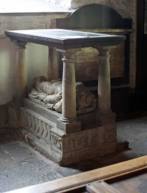
© John Salmon · Geograph · CC BY-SA 2.0
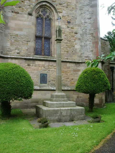
© Alexander P Kapp · Geograph · CC BY-SA 2.0
Images © their respective photographers, licensed under CC BY-SA 2.0 and reused here with attribution. Photographs depict listed buildings, churches and monuments near this settlement and may show neighbouring villages.
Data derived from the Open Domesday project (opendomesday.org), based on the Domesday Book dataset compiled by Professor J.J.N. Palmer and team. The Domesday Book (1086) is in the public domain.
Found an inaccuracy? [email protected]