Keighley in the Domesday Book (1086)
The 1086 Domesday survey records the settlement of Keighley, entered under the hundred of Craven in Yorkshire.
Other Settlements in Craven
- Addingham
- Airton
- Anley
- Appletreewick
- Arncliffe
- Arnford
- Barnoldswick
- Bashall [Eaves]
- Battersby [Barn]
- Beamsley
- Birkby [Hall]
- Bogeuurde
- Bolton [Abbey]
- Bolton [by Bowland]
The Meaning of the Name
The name Keighley is of Anglo-Saxon origin. Its final element derives from the Old English word lēah, a woodland clearing or glade. The first element is most likely a personal name or an early descriptive term, now difficult to recover with certainty. Taken together the name probably meant something close to ‘a clearing’.
Remarkably, the name has changed little since 1086, when the Domesday scribes wrote it as Keighley.
Listed Buildings Near Keighley
Historic England records 52 listed buildings within about a mile of Keighley. Listing protects structures of special architectural or historic interest, graded I (exceptional), II* (particularly important) and II.
Grade II*
- Mill Buildings at Low Mills - 0.31 km
- Dalton Mills, all attached buildings and yard surface - 0.41 km
- Keighley War Memorial - 0.55 km
Grade II
- Keighley Junction Signal Box Approximately 10 Metres to North-west of Bridge Over Railway - 0.16 km
- Keighley Railway Station - 0.17 km
- Large Mill Building at Low Mills Fronting on to Low Mill Lane - 0.24 km
- Water tower on south-western most platform of Keighley station - 0.26 km
- 4-80, Cavendish Street - 0.28 km
- Eastwood House in Victoria Park - 0.4 km
- Keighley Drill Hall - 0.4 km
- Royal Arcade Crown Buildings - 0.46 km
- Royal Arcade Crown Buildings - 0.47 km
- Porter’s Lodge to Dalton Mills - 0.49 km
- Council Offices - 0.52 km
- Town Hall - 0.55 km
- Public Library - 0.59 km
- The Temperance Institute and Nos 89, 91, 93 and 95 North Street - 0.59 km
- Police Station - 0.61 km
- Presbytery of St Annes Roman Catholic Church - 0.61 km
- Roman Catholic Church of St Anne - 0.61 km
- Oaklands Private Chapel of Rest - 0.62 km
- Forecourt Walls, Piers and Railings to Former Baptist Chapel - 0.62 km
- Mill at Low Bridge - 0.62 km
- Former Baptist Chapel - 0.62 km
…and 28 more listed structures in the area.
Keighley Today
Today Keighley lies within the administrative area of Bradford, and the settlement recorded a population of 57,339 at the 2021 census. Nine and a half centuries separate that figure from the small rural community the Domesday survey recorded here in 1086.
Read more about modern Keighley on Wikipedia .
Nearby Domesday Settlements
Other places recorded in the 1086 survey within a few miles:
- Riddlesden - 1.4 km NE
- Utley - 1.4 km NW
- Hainworth - 2.2 km SW
- Laycock - 3.0 km W
- East and West Morton - 3.2 km E
- Marley - 3.2 km E
Heritage Around Keighley
Photographs of churches, listed buildings and monuments in the vicinity, contributed by volunteers to the Geograph project and reused here under a Creative Commons licence.
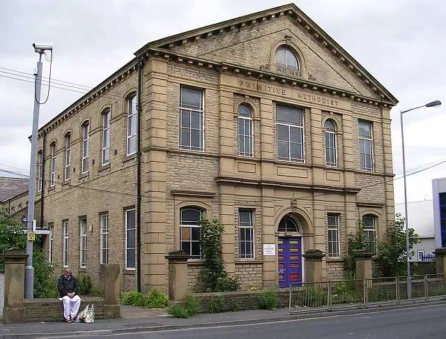
© Betty Longbottom · Geograph · CC BY-SA 2.0
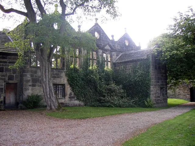
© Humphrey Bolton · Geograph · CC BY-SA 2.0
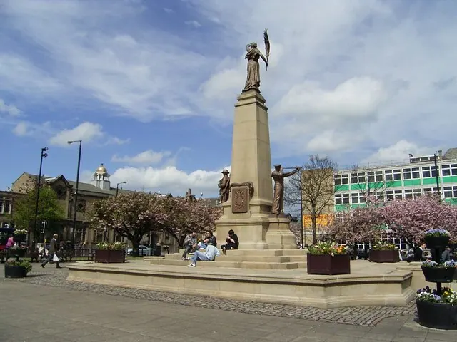
© Stanley Walker · Geograph · CC BY-SA 2.0
Images © their respective photographers, licensed under CC BY-SA 2.0 and reused here with attribution. Photographs depict listed buildings, churches and monuments near this settlement and may show neighbouring villages.
Data derived from the Open Domesday project (opendomesday.org), based on the Domesday Book dataset compiled by Professor J.J.N. Palmer and team. The Domesday Book (1086) is in the public domain.
Found an inaccuracy? [email protected]