Iretone in the Domesday Book (1086)
The settlement of Iretone is recorded in William I’s Domesday survey of 1086, entered under the hundred of Yarlestre in Yorkshire. The survey assessed Iretone at 6.5 carucates of taxable land.
At the time of the survey, Iretone supported a recorded population of 8 villagers, 30 smallholders, 29 slaves, working 14 ploughs between them.
By 1086 Iretone was worth 42 shillings, up from 35 shillings before the Conquest – a sign this community came through the Conquest without being ruined.
Resources Recorded at Iretone (1086)
- Churches: 1
- Meadow: 26 acres
- Woodland: 15 swine render
Other Settlements in Yarlestre
- Arden [Hall]
- Asenby
- Bagby
- Baxby
- Bergebi
- Berghebi
- Bernebi
- Boltby
- Breckenbrough
- Carlton [Husthwaite]
- Carlton [Miniott]
- Catton
- Coxwold
- Crakehill
The Meaning of the Name
The origin of the name Iretone is not securely established from its modern form alone; like many settlement names in the North it likely combines an Old English or Old Norse personal name with a landscape term.
Remarkably, the name has changed little since 1086, when the Domesday scribes wrote it as Iretone.
Listed Buildings Near Iretone
Historic England records 2 listed buildings within about a mile of Iretone. Listing protects structures of special architectural or historic interest, graded I (exceptional), II* (particularly important) and II.
Grade II
- Church of Holy Trinity - 0.13 km
- Former Wombwell Arms - 0.14 km
Scheduled Monuments Near Iretone
Scheduled monuments are nationally important archaeological sites given legal protection. 15 lie within roughly a mile of Iretone:
- Round barrow 150m north of Wombwell Arms - 0.23 km
- Two round barrows 200m NNE of Wombwell Arms - 0.29 km
- Round barrow 50m south east of Windyridge Farm - 0.3 km
- Round barrow 50m east of Windyridge Farm - 0.31 km
- Two round barrows on Yearsley Moor 260m SSE of High Lions’ Lodge - 1.02 km
- Round barrow on Yearsley Moor 230m SSE of High Lions’ Lodge - 1.05 km
- Round barrow 800m east of Windyridge Farm - 1.06 km
- Round barrow on Yearsley Moor 330m SSW of High Lions’ Lodge - 1.11 km
- Round barrow 450m south west of Coney Hill Farm - 1.15 km
- Round barrow 500m SSW of Coney Hill Farm - 1.15 km
…and 5 more.
Iretone Today
Today Iretone lies within the administrative area of Hambleton, and the settlement recorded a population of 117 at the 2021 census. Nine and a half centuries separate that figure from the small rural community the Domesday survey recorded here in 1086.
Read more about modern Yearsley on Wikipedia .
Nearby Domesday Settlements
Other places recorded in the 1086 survey within a few miles:
- Yearsley - 0.0 km N
- Grimston - 2.0 km E
- Thorpe le Willows - 2.2 km NW
- Brandsby - 3.2 km S
- Gilling East - 3.6 km NE
- Oulston - 4.0 km W
Heritage Around Iretone
Photographs of churches, listed buildings and monuments in the vicinity, contributed by volunteers to the Geograph project and reused here under a Creative Commons licence.
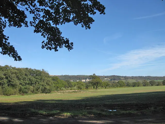
© Pauline E · Geograph · CC BY-SA 2.0
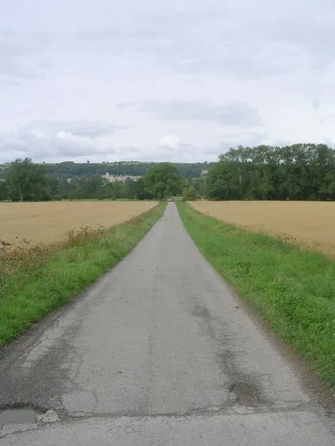
© Betty Longbottom · Geograph · CC BY-SA 2.0
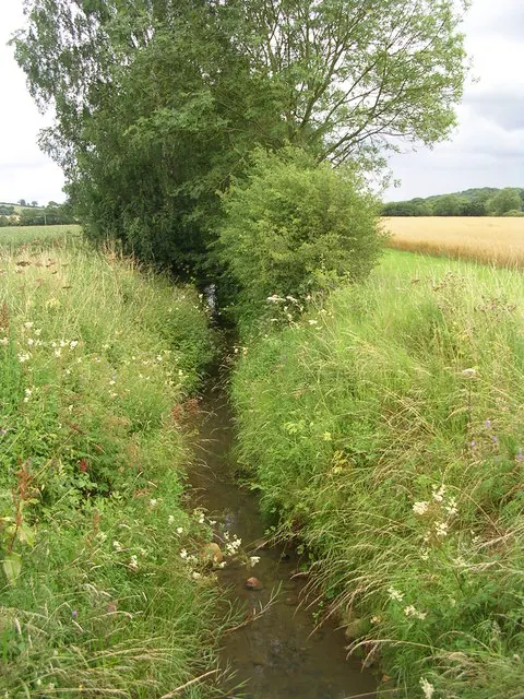
© Betty Longbottom · Geograph · CC BY-SA 2.0
Images © their respective photographers, licensed under CC BY-SA 2.0 and reused here with attribution. Photographs depict listed buildings, churches and monuments near this settlement and may show neighbouring villages.
Data derived from the Open Domesday project (opendomesday.org), based on the Domesday Book dataset compiled by Professor J.J.N. Palmer and team. The Domesday Book (1086) is in the public domain.
Found an inaccuracy? [email protected]