Ireton in the Domesday Book (1086)
Ireton is named in the Domesday Book, compiled by Norman commissioners in 1086, entered under the hundred of Litchurch in Derbyshire.
Other Settlements in Litchurch
- Allestree
- Alvaston
- Ambaston
- Arleston
- Aston [-on-Trent]
- Barrow [-upon-Trent]
- Bearwardcote
- Boulton
- Burnaston
- Chellaston
- Cottons
- Dalbury
- Egginton
- Elvaston
The Meaning of the Name
The name Ireton is of Anglo-Saxon origin. Its final element derives from the Old English word tūn, a farmstead or village. The first element is most likely a personal name or an early descriptive term, now difficult to recover with certainty. Taken together the name probably meant something close to ‘a farmstead’.
Remarkably, the name has changed little since 1086, when the Domesday scribes wrote it as Ireton.
Listed Buildings Near Ireton
Historic England records 23 listed buildings within about a mile of Ireton. Listing protects structures of special architectural or historic interest, graded I (exceptional), II* (particularly important) and II.
Grade I
- The North Lodge - 0.61 km
- The Bridge and Cascade - 0.82 km
- The Boathouse - 0.83 km
- Kedleston Hall - 1.21 km
- Church of All Saints - 1.21 km
Grade II*
- Gothic Temple - 0.43 km
- The Sulphur Bath - 0.95 km
- The South Lodges - 1.09 km
- The Old Rectory and Attached Stable Block - 1.19 km
- The Stables - 1.23 km
- Lion Statue - 1.3 km
Grade II
- Saw Mill and Attached Engine House in Kedleston Park - 0.22 km
- Engine House by Saw Mill in Kedleston Park - 0.24 km
- Ireton Farmhouse and Attached Outbuildings - 0.3 km
- Walls at Ireton Gardens - 0.46 km
- Iron Screen Opposite North Lodge to Kedleston Park - 0.63 km
- The Lion’s Mouth - 1.0 km
- The Smithy - 1.01 km
- Hall Close Farmhouse - 1.12 km
- Iron Screen North of the Hall - 1.14 km
- Milepost at Os 304 415 - 1.16 km
- Gift Shop - 1.19 km
- Covered Arcade and Attached Ice House - 1.26 km
Nearby Domesday Settlements
Other places recorded in the 1086 survey within a few miles:
Heritage Around Ireton
Photographs of churches, listed buildings and monuments in the vicinity, contributed by volunteers to the Geograph project and reused here under a Creative Commons licence.
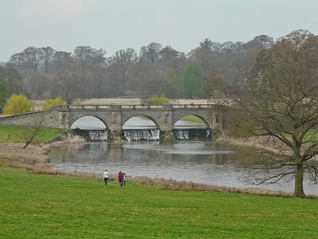
© Graham Taylor · Geograph · CC BY-SA 2.0
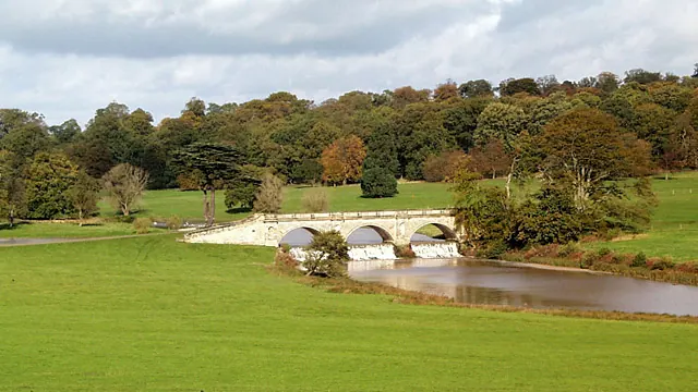
© Peter Tarleton · Geograph · CC BY-SA 2.0
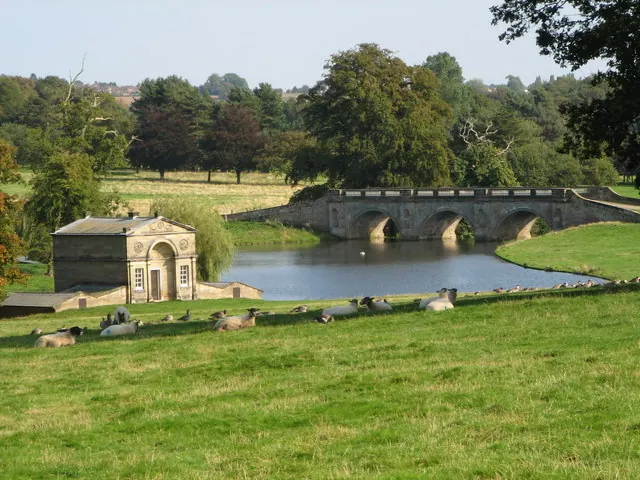
© K A · Geograph · CC BY-SA 2.0
Images © their respective photographers, licensed under CC BY-SA 2.0 and reused here with attribution. Photographs depict listed buildings, churches and monuments near this settlement and may show neighbouring villages.
Data derived from the Open Domesday project (opendomesday.org), based on the Domesday Book dataset compiled by Professor J.J.N. Palmer and team. The Domesday Book (1086) is in the public domain.
Found an inaccuracy? [email protected]