Ingleby Greenhow in the Domesday Book (1086)
Ingleby Greenhow appears in the Domesday Book of 1086, entered under the hundred of Langbaurgh in Yorkshire. The survey assessed Ingleby Greenhow at 0.5 carucates of taxable land.
At the time of the survey, Ingleby Greenhow supported a recorded population of 4 smallholders, 1 slave.
The survey records Ingleby Greenhow’s value at 5d in 1086. No pre-Conquest figure survives – not unusual in the North, where records were disrupted by the Harrying and by the patchy coverage of the survey.
Resources Recorded at Ingleby Greenhow (1086)
- Mills: 1 mill (valued at 2d)
- Pigs: 1
- Meadow: 3 acres
- Woodland: 2 acres
Other Settlements in Langbaurgh
- Acklam
- Airy [Holme]
- Aislaby
- Arnodestorp
- Baldebi
- Barnaby
- Barwick
- Battersby
- Bergolbi
- Berguluesbi
- Blaten [Carr]
- Borrowby
- Breck
- Brotton
The Meaning of the Name
The name Ingleby Greenhow is of Scandinavian origin. Its final element derives from the Old Norse word bý, a farmstead or village. The first element is most likely a personal name or an early descriptive term, now difficult to recover with certainty. Taken together the name probably meant something close to ‘a farmstead’.
Names of this type are a fingerprint of Scandinavian settlement: they cluster across the old Danelaw, where Norse-speaking settlers renamed or founded villages from the late 9th century onward.
Remarkably, the name has changed little since 1086, when the Domesday scribes wrote it as Ingleby Greenhow.
Listed Buildings Near Ingleby Greenhow
Historic England records 21 listed buildings within about a mile of Ingleby Greenhow. Listing protects structures of special architectural or historic interest, graded I (exceptional), II* (particularly important) and II.
Grade I
- Church of St Andrew - 0.55 km
Grade II*
- Ingleby Manor - 0.69 km
Grade II
- Foulis Cottage - 0.32 km
- Pear Tree Cottage and the Nook - 0.33 km
- The Old Vicarage - 0.38 km
- Mounting Block at Gateway to the Old Vicarage - 0.38 km
- Ingleby Greenhow Post Office and the Butchers - 0.48 km
- Premises Occupied by Av Fawcett, Butcher - 0.49 km
- The Dudley Arms Public House - 0.51 km
- Churchyard Wall With 2 Gateways With Over-throws to Church of St Andrew - 0.52 km
- Chest Tomb Approximately 6 Metres South of Chancel South East Window of Church of St Andrew - 0.54 km
- Estate Walls and Gate Piers, Ingleby Manor - 0.54 km
- Chest Tomb Approximately 3 Metres South West of Porch of Church of St Andrew - 0.56 km
- Chest Tomb Approximately 7 Metres South of Porch of Church of St Andrew - 0.56 km
- Chest Tomb Approximately 12 Metres South of Centre of Nave of Church of St Andrew - 0.56 km
- Ripley Chest Tomb Approximately 3 Metres West of South West Corner of Nave of Church of St Andrew - 0.57 km
- Outbuilding at Manor House Farm - 0.69 km
- Ingleby Bridge - 0.7 km
- Coach house and stables at Manor House Farm - 0.71 km
- Hay Barn at Manor House Farm - 0.72 km
- Former Cowhouse at Keepers Lodge and Delisle Cottage - 1.01 km
Ingleby Greenhow Today
Today Ingleby Greenhow lies within the administrative area of Hambleton, and the settlement recorded a population of 356 at the 2021 census. Nine and a half centuries separate that figure from the small rural community the Domesday survey recorded here in 1086.
Read more about modern Ingleby Greenhow on Wikipedia .
Nearby Domesday Settlements
Other places recorded in the 1086 survey within a few miles:
- Camisedale - 0.0 km N
- Battersby - 1.4 km NE
- Little Broughton - 2.0 km W
- Easby - 2.2 km NW
- Kildale - 3.6 km NE
- Great Broughton - 4.0 km W
Heritage Around Ingleby [Greenhow]
Photographs of churches, listed buildings and monuments in the vicinity, contributed by volunteers to the Geograph project and reused here under a Creative Commons licence.
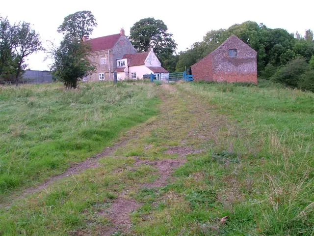
© Mick Garratt · Geograph · CC BY-SA 2.0
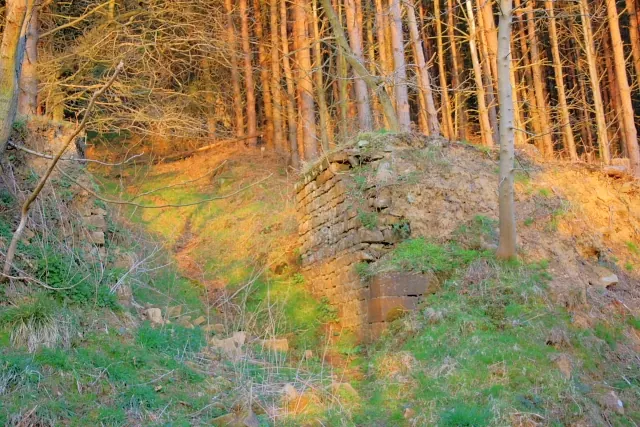
© Mick Garratt · Geograph · CC BY-SA 2.0
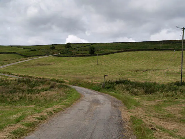
© Stephen McCulloch · Geograph · CC BY-SA 2.0
Images © their respective photographers, licensed under CC BY-SA 2.0 and reused here with attribution. Photographs depict listed buildings, churches and monuments near this settlement and may show neighbouring villages.
Data derived from the Open Domesday project (opendomesday.org), based on the Domesday Book dataset compiled by Professor J.J.N. Palmer and team. The Domesday Book (1086) is in the public domain.
Found an inaccuracy? [email protected]