Ingleby Arncliffe in the Domesday Book (1086)
The 1086 Domesday survey records the settlement of Ingleby Arncliffe, entered under the hundred of Allerton in Yorkshire.
Other Settlements in Allerton
- Ainderby [Steeple]
- Appleton [Wiske]
- Arncliffe [Hall]
- Birkby
- Borrowby
- Brompton
- Cowesby
- Crosby [Grange]
- Dale [Town]
- Deighton
- Ellerbeck
- Foxton
- Girsby
- Hawnby
The Meaning of the Name
The name Ingleby Arncliffe is of Scandinavian origin. Its final element derives from the Old Norse word bý, a farmstead or village. The first element is most likely a personal name or an early descriptive term, now difficult to recover with certainty. Taken together the name probably meant something close to ‘a farmstead’.
Names of this type are a fingerprint of Scandinavian settlement: they cluster across the old Danelaw, where Norse-speaking settlers renamed or founded villages from the late 9th century onward.
Remarkably, the name has changed little since 1086, when the Domesday scribes wrote it as Ingleby Arncliffe.
Listed Buildings Near Ingleby Arncliffe
Historic England records 16 listed buildings within about a mile of Ingleby Arncliffe. Listing protects structures of special architectural or historic interest, graded I (exceptional), II* (particularly important) and II.
Grade I
Grade II*
- Church of All Saints - 0.7 km
- Forecourt and Garden Walls to North West of Arncliffe Hall - 0.73 km
- Stable Block to South East of Arncliffe Hall Including Numbers 1-5 Consecutive - 0.81 km
Grade II
- Village Hall and Caretaker’s House Adjoining - 0.34 km
- Water Tower to South West of Gabriel Farmhouse - 0.34 km
- House to North West of Post Office - 0.38 km
- Monks House and Chastleton Cottage - 0.38 km
- Workshop Next But One North West of Post Office - 0.38 km
- The Blue Bell Inn Attached Wall and Outbuildings - 0.39 km
- Ingleby Cross Post Office - 0.39 km
- Norwood Farmhouse and attached outbuilding - 0.8 km
- Stable Block to North of Cleveland Tontine Inn - 1.14 km
- Park House - 1.18 km
- The Cleveland Tontine Inn - 1.19 km
- Gates, Piers and Railings to South of Cleveland Tontine Inn - 1.22 km
Ingleby Arncliffe Today
Today Ingleby Arncliffe lies within the administrative area of Hambleton, and the settlement recorded a population of 306 at the 2021 census. Nine and a half centuries separate that figure from the small rural community the Domesday survey recorded here in 1086.
Read more about modern Ingleby Arncliffe on Wikipedia .
Nearby Domesday Settlements
Other places recorded in the 1086 survey within a few miles:
- Arncliffe Hall - 1.0 km E
- Mount Grace - 2.0 km S
- East Harlsey - 2.2 km SW
- Morton Grange - 2.2 km SW
- Osmotherley - 3.2 km S
- West Harlsey - 3.6 km SW
Heritage Around Ingleby [Arncliffe]
Photographs of churches, listed buildings and monuments in the vicinity, contributed by volunteers to the Geograph project and reused here under a Creative Commons licence.
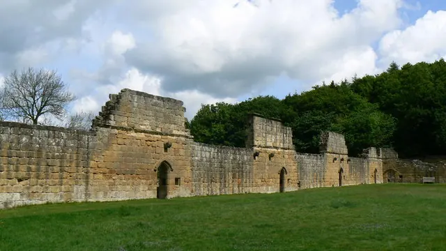
© Paul Howarth · Geograph · CC BY-SA 2.0
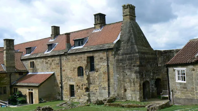
© Paul Howarth · Geograph · CC BY-SA 2.0
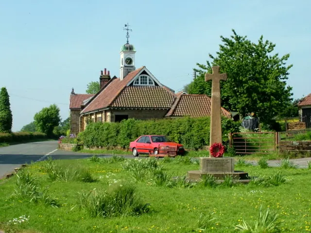
© George Tod · Geograph · CC BY-SA 2.0
Images © their respective photographers, licensed under CC BY-SA 2.0 and reused here with attribution. Photographs depict listed buildings, churches and monuments near this settlement and may show neighbouring villages.
Data derived from the Open Domesday project (opendomesday.org), based on the Domesday Book dataset compiled by Professor J.J.N. Palmer and team. The Domesday Book (1086) is in the public domain.
Found an inaccuracy? [email protected]