Ince Blundell in the Domesday Book (1086)
Ince Blundell is named in the Domesday Book, compiled by Norman commissioners in 1086, entered under the hundred of [West] Derby in Cheshire.
Other Settlements in [West] Derby
- Ainsdale
- Allerton
- Argarmeles
- Aughton
- Barton
- Bootle
- Childwall
- Dalton
- Downholland
- Formby
- Halsall
- Hurlston
- Huyton
- Kirkby
The Meaning of the Name
The origin of the name Ince Blundell is not securely established from its modern form alone; like many settlement names in the North it likely combines an Old English or Old Norse personal name with a landscape term.
Remarkably, the name has changed little since 1086, when the Domesday scribes wrote it as Ince Blundell.
Listed Buildings Near Ince Blundell
Historic England records 19 listed buildings within about a mile of Ince Blundell. Listing protects structures of special architectural or historic interest, graded I (exceptional), II* (particularly important) and II.
Grade II*
- Church of the Holy Family Adjoining Service Wing of Ince Blundell Hall - 0.46 km
- Pantheon Adjoining Ince Blundell Hall - 0.5 km
- Garden Temple to South West of Ince Blundell Hall - 0.52 km
- Ince Blundell Hall - 0.52 km
- Ince Blundell Old Hall to South West of New Hall - 0.57 km
Grade II
- Rigmaiden’s Farmhouse - 0.28 km
- Cross Barn - 0.45 km
- Wayside Cross Approximately 112 Metres From Estate Wall - 0.47 km
- Structure Approximately 35 Metres to North West of Garden Temple - 0.49 km
- Village Cross - 0.54 km
- Monument Approximately 20 Metres to South of Main Range of Ince Blundell Hall - 0.54 km
- Sundial Approximately 30 Metres to South West of Ince Blundell Hall - 0.55 km
- Stables to South West of Ince Blundell Hall - 0.6 km
- North East Gate to Ince Blundell Hall, Opposite Carr Side Lane - 0.77 km
- West Lodge to Ince Blundell Hall - 0.79 km
- Carr Side Farmhouse - 0.79 km
- The Round House - 0.85 km
- East Gate to Ince Blundell Hall - 1.21 km
- Sunnyfield Farmhouse - 1.29 km
Scheduled Monuments Near Ince Blundell
Scheduled monuments are nationally important archaeological sites given legal protection. 2 lie within roughly a mile of Ince Blundell:
- Wayside cross 150m north east of Ince Blundell Hall - 0.48 km
- Standing cross on the village green, 30m south east of the junction of Carr House Lane and Lady Green Lane - 0.54 km
Ince Blundell Today
Today Ince Blundell lies within the administrative area of Sefton, and the settlement recorded a population of 461 at the 2021 census. Nine and a half centuries separate that figure from the small rural community the Domesday survey recorded here in 1086.
Read more about modern Ince Blundell on Wikipedia .
Nearby Domesday Settlements
Other places recorded in the 1086 survey within a few miles:
- Thornton - 2.8 km SE
- Sefton - 3.6 km SE
- Great and Little Altcar - 3.6 km NW
- Lydiate - 4.1 km E
- Great and Little Crosby - 4.1 km S
- Raven Meols - 4.2 km NW
Heritage Around Ince [Blundell]
Photographs of churches, listed buildings and monuments in the vicinity, contributed by volunteers to the Geograph project and reused here under a Creative Commons licence.
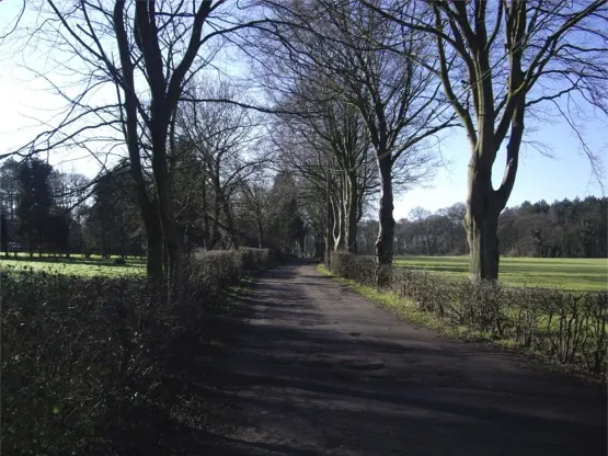
© Tom Pennington · Geograph · CC BY-SA 2.0
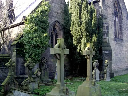
© Tom Pennington · Geograph · CC BY-SA 2.0
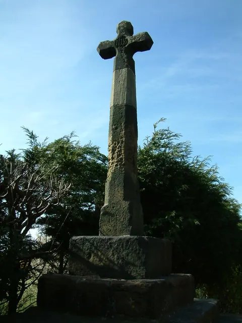
© Peter Hodge · Geograph · CC BY-SA 2.0
Images © their respective photographers, licensed under CC BY-SA 2.0 and reused here with attribution. Photographs depict listed buildings, churches and monuments near this settlement and may show neighbouring villages.
Data derived from the Open Domesday project (opendomesday.org), based on the Domesday Book dataset compiled by Professor J.J.N. Palmer and team. The Domesday Book (1086) is in the public domain.
Found an inaccuracy? [email protected]