Ilkley in the Domesday Book (1086)
The settlement of Ilkley is recorded in William I’s Domesday survey of 1086, entered under the hundred of Skyrack in Yorkshire.
Other Settlements in Skyrack
- Adel
- Allerton [Bywater]
- Alwoodley
- Arthington
- Austhorpe
- Baildon
- Bardsey
- Barwick [in Elmet]
- Bichertun
- Bicherun
- Bingley
- Birkby [Hill]
- Bramhope
- Burden [Head]
The Meaning of the Name
The name Ilkley is of Anglo-Saxon origin. Its final element derives from the Old English word lēah, a woodland clearing or glade. The first element is most likely a personal name or an early descriptive term, now difficult to recover with certainty. Taken together the name probably meant something close to ‘a clearing’.
Remarkably, the name has changed little since 1086, when the Domesday scribes wrote it as Ilkley.
Listed Buildings Near Ilkley
Historic England records 52 listed buildings within about a mile of Ilkley. Listing protects structures of special architectural or historic interest, graded I (exceptional), II* (particularly important) and II.
Grade I
Grade II*
- Church of St Margaret - 0.25 km
Grade II
- United Reformed Church - 0.12 km
- Railings and Gates of Front Gardens of West View (Numbers 3 and 4) to North, South and West and Between the Gardens - 0.22 km
- West View - 0.23 km
- Winter Garden - 0.23 km
- Railings and Gate to Front Garden of West View (Numbers 6 and 7) to the West and North - 0.24 km
- Ilkley Station - 0.24 km
- West View - 0.25 km
- Town Hall (Including Public Library) - 0.27 km
- Gate piers, gates, railings and steps, Ilkley Memorial Gardens - 0.29 km
- First World War memorial, Ilkley Memorial Gardens - 0.3 km
- West View - 0.3 km
- Railings to Front Garden of West View (Number 12) on North, South and West - 0.3 km
- Crescent Hotel - 0.31 km
- Second World War memorial and associated pavilion shelters, Ilkley Memorial Gardens - 0.32 km
- Moor Cottage - 0.32 km
- Lister’s Arms Hotel - 0.32 km
- Former Stables of Lister’s Arms Hotel - 0.32 km
- Box Tree - 0.32 km
- 19 and 21, Church Street - 0.32 km
- 4-6, Church Street - 0.34 km
- Outbuilding of Crescent Hotel to the East - 0.34 km
- 7 Headstones Grouped South West of Church of All Saints - 0.34 km
…and 28 more listed structures in the area.
Scheduled Monuments Near Ilkley
Scheduled monuments are nationally important archaeological sites given legal protection. 35 lie within roughly a mile of Ilkley:
- Three carved rocks opposite St Margaret’s Church - 0.23 km
- Site of Roman Fort, Ilkley. - 0.41 km
- Old Bridge - 0.74 km
- Carved rock next to the drive of Overdale Nursing Home - 0.8 km
- Carved rock in wall of grounds of Overdale Nursing Home - 0.85 km
- Large carved boulder on eminence between two streams east of Barmishaw Well - 0.89 km
- Cup marked rock lying 200m south of and above White Wells - 0.93 km
- Rock with three cupmarks west of West Rock and 225m south of White Wells - 0.95 km
- Carved rock known as Pepperpot Rock and adjacent small carved rock west of West Rock and 215m south of White Wells - 0.95 km
- Cup marked rock 230m south of and above White Wells - 0.97 km
…and 25 more.
Ilkley Today
Today Ilkley lies within the administrative area of Bradford, and the settlement recorded a population of 15,035 at the 2021 census. Nine and a half centuries separate that figure from the small rural community the Domesday survey recorded here in 1086.
Read more about modern Ilkley on Wikipedia .
Nearby Domesday Settlements
Other places recorded in the 1086 survey within a few miles:
Heritage Around Ilkley
Photographs of churches, listed buildings and monuments in the vicinity, contributed by volunteers to the Geograph project and reused here under a Creative Commons licence.
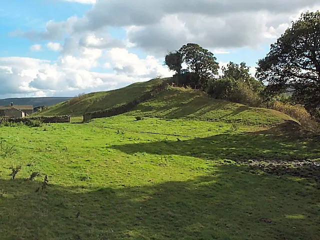
© David Spencer · Geograph · CC BY-SA 2.0
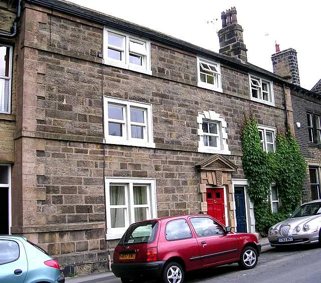
© Betty Longbottom · Geograph · CC BY-SA 2.0
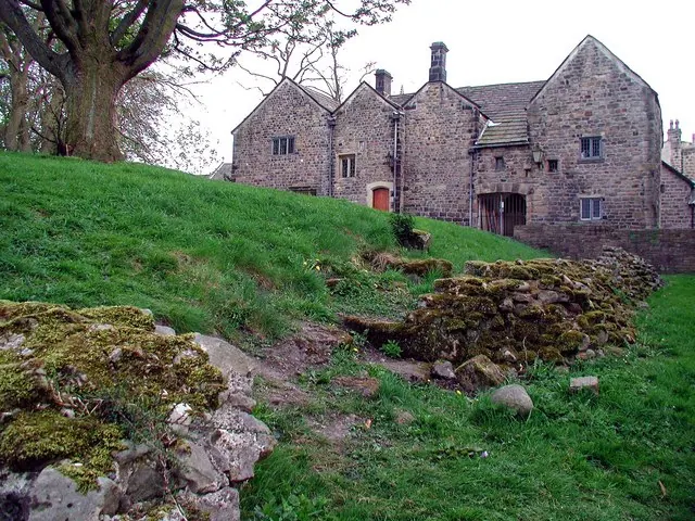
© Paul Glazzard · Geograph · CC BY-SA 2.0
Images © their respective photographers, licensed under CC BY-SA 2.0 and reused here with attribution. Photographs depict listed buildings, churches and monuments near this settlement and may show neighbouring villages.
Data derived from the Open Domesday project (opendomesday.org), based on the Domesday Book dataset compiled by Professor J.J.N. Palmer and team. The Domesday Book (1086) is in the public domain.
Found an inaccuracy? [email protected]