Ilkeston in the Domesday Book (1086)
The 1086 Domesday survey records the settlement of Ilkeston, entered under the hundred of Morleystone in Derbyshire.
Other Settlements in Morleystone
- Bradley
- Breadsall
- Breaston
- Cellesdene
- Chaddesden
- Codnor
- Crich
- Denby
- Derby
- Draycott
- Duffield
- Hallam
- Heanor
- Herdebi
The Meaning of the Name
The name Ilkeston is of Anglo-Saxon origin. Its final element derives from the Old English word tūn, a farmstead or village. The first element is most likely a personal name or an early descriptive term, now difficult to recover with certainty. Taken together the name probably meant something close to ‘a farmstead’.
Remarkably, the name has changed little since 1086, when the Domesday scribes wrote it as Ilkeston.
Listed Buildings Near Ilkeston
Historic England records 25 listed buildings within about a mile of Ilkeston. Listing protects structures of special architectural or historic interest, graded I (exceptional), II* (particularly important) and II.
Grade II*
- Church of St Mary - 0.28 km
- Scala Cinema - 0.36 km
- Ilkeston School - 0.67 km
Grade II
- Nazarene Church - 0.04 km
- Ritz Cinema - 0.14 km
- Carnegie Free Library - 0.21 km
- Baptist Chapel - 0.21 km
- War Memorial - 0.23 km
- Town Hall - 0.29 km
- Drinking Fountain - 0.3 km
- United Reformed Church and Attached Parish Rooms - 0.3 km
- Erewash Museum - 0.34 km
- 4 and 5, East Street - 0.39 km
- War Memorial South West of Cemetery Chapels - 0.45 km
- Gatepiers Walls and Railings to South of Cemetery Chapels - 0.46 km
- Cemetery Chapels - 0.47 km
- Ball and Son Limited Factory - 0.57 km
- Brick Kiln - 0.66 km
- The Hall the Old Hall - 0.86 km
- The Gables - 0.93 km
- Potters Lock - 1.01 km
- Potters Lock Bridge - 1.02 km
- Greens Lock - 1.09 km
- Bailey’s Factory now Norton Plastics - 1.16 km
…and 1 more listed structures in the area.
Ilkeston Today
Today Ilkeston lies within the administrative area of Erewash, and the settlement recorded a population of 40,953 at recent figures. Nine and a half centuries separate that figure from the small rural community the Domesday survey recorded here in 1086.
Read more about modern Ilkeston on Wikipedia .
Nearby Domesday Settlements
Other places recorded in the 1086 survey within a few miles:
- Little? Hallam - 1.0 km S
- Hallam - 1.4 km SW
- Mapperley - 3.6 km NW
- Shipley - 3.6 km NW
- Stanton -by-Dale - 4.0 km S
- Stanley - 4.1 km W
Heritage Around Ilkeston
Photographs of churches, listed buildings and monuments in the vicinity, contributed by volunteers to the Geograph project and reused here under a Creative Commons licence.
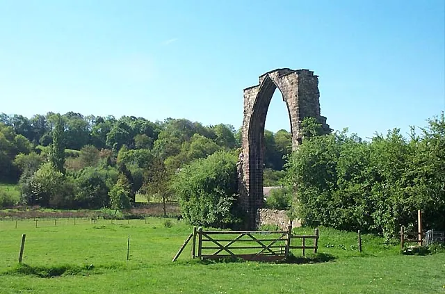
© Garth Newton · Geograph · CC BY-SA 2.0
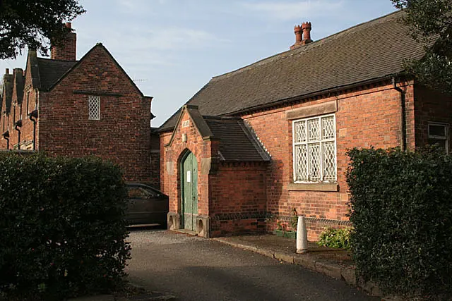
© Alan Murray-Rust · Geograph · CC BY-SA 2.0
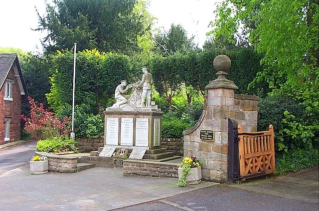
© Garth Newton · Geograph · CC BY-SA 2.0
Images © their respective photographers, licensed under CC BY-SA 2.0 and reused here with attribution. Photographs depict listed buildings, churches and monuments near this settlement and may show neighbouring villages.
Data derived from the Open Domesday project (opendomesday.org), based on the Domesday Book dataset compiled by Professor J.J.N. Palmer and team. The Domesday Book (1086) is in the public domain.
Found an inaccuracy? [email protected]