Hutton Lowcross in the Domesday Book (1086)
The settlement of Hutton Lowcross is recorded in William I’s Domesday survey of 1086, entered under the hundred of Langbaurgh in Yorkshire.
Other Settlements in Langbaurgh
- Acklam
- Airy [Holme]
- Aislaby
- Arnodestorp
- Baldebi
- Barnaby
- Barwick
- Battersby
- Bergolbi
- Berguluesbi
- Blaten [Carr]
- Borrowby
- Breck
- Brotton
The Meaning of the Name
The name Hutton Lowcross is of Anglo-Saxon origin. Its final element derives from the Old English word tūn, a farmstead or village. The first element is most likely a personal name or an early descriptive term, now difficult to recover with certainty. Taken together the name probably meant something close to ‘a farmstead’.
Remarkably, the name has changed little since 1086, when the Domesday scribes wrote it as Hutton Lowcross.
Listed Buildings Near Hutton Lowcross
Historic England records 9 listed buildings within about a mile of Hutton Lowcross. Listing protects structures of special architectural or historic interest, graded I (exceptional), II* (particularly important) and II.
Grade II
- Stables and Loose Boxes Adjoining West Side of Highcliff Farmhouse - 0.24 km
- Highcliff Farmhouse and Adjoining Former Farm Cottage and Outhouse - 0.26 km
- Boundary Wall South of Highcliff Farmhouse - 0.28 km
- Boundary Walls to Garden and Entrance Court of Hutton Hall - 1.17 km
- Hutton Hall, Conservatory, Kitchen Courtyard and Gatehouse - 1.23 km
- Bridge, 70 Metres to West of Hutton Hall - 1.23 km
- Boundary Stone Approximately 1225 Metres to South of Highcliff Farmhouse at Ngr Nz605 121 - 1.24 km
- Boundary Stone, Approximately 1300 Metres to South West of Highcliff Farmhouse at Ngr Nz600 123 - 1.28 km
- Pair of Boundary Stones, Approximately 2025 Metres to South of Home Lowcross at Ngr Nz599 123 - 1.29 km
Scheduled Monuments Near Hutton Lowcross
Scheduled monuments are nationally important archaeological sites given legal protection. 9 lie within roughly a mile of Hutton Lowcross:
- Round barrow on Codhill Heights, 860m south east of Codhill Farm - 1.11 km
- Cairnfield at Codhill Slack, 670m north east of Percy Cross, including a ring cairn, round barrow and standing stone - 1.23 km
- Round cairn on Newton Moor, 900m north east of Summer Hill Farm - 1.32 km
- Two round cairns on Hutton Moor, 820m south east of Hanging Stone - 1.33 km
- Round cairn on Newton Moor, 870m south east of Hanging Stone - 1.36 km
- Round cairn on Newton Moor, 840m north east of Summer Hill Farm - 1.37 km
- Two round cairns on Newton Moor, 850m north east of Summer Hill Farm - 1.37 km
- Cairnfield and two round barrows 500m north west of Sleddale - 1.55 km
- Round barrow 340m south west of Belmanbank Gate - 1.59 km
Hutton Lowcross Today
Today Hutton Lowcross lies within the administrative area of Guisborough.
Nearby Domesday Settlements
Other places recorded in the 1086 survey within a few miles:
- Pinchinthorpe Hall - 3.2 km W
- Guisborough - 3.2 km N
- Middleton - 3.2 km N
- Airy Holme - 3.6 km SW
- Newton - 4.0 km W
- Kildale - 4.0 km S
Heritage Around Hutton [Lowcross]
Photographs of churches, listed buildings and monuments in the vicinity, contributed by volunteers to the Geograph project and reused here under a Creative Commons licence.
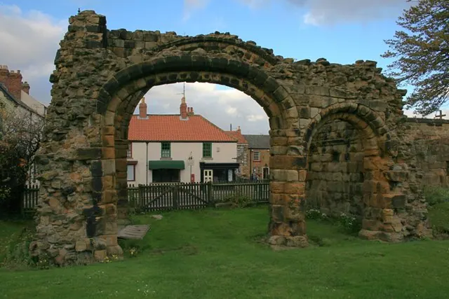
© Mick Garratt · Geograph · CC BY-SA 2.0
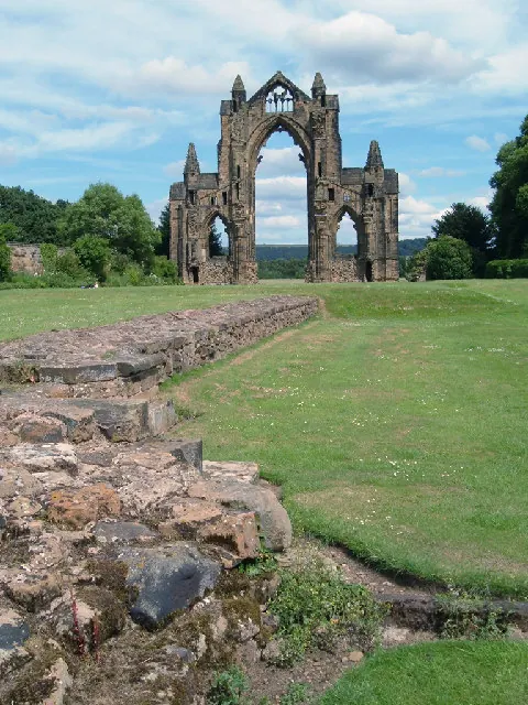
© Alison Stamp · Geograph · CC BY-SA 2.0
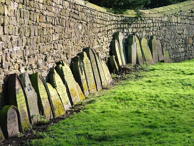
© Mick Garratt · Geograph · CC BY-SA 2.0
Images © their respective photographers, licensed under CC BY-SA 2.0 and reused here with attribution. Photographs depict listed buildings, churches and monuments near this settlement and may show neighbouring villages.
Data derived from the Open Domesday project (opendomesday.org), based on the Domesday Book dataset compiled by Professor J.J.N. Palmer and team. The Domesday Book (1086) is in the public domain.
Found an inaccuracy? [email protected]