Hutton le Hole in the Domesday Book (1086)
Hutton le Hole appears in the Domesday Book of 1086, entered under the hundred of Maneshou in Yorkshire.
Other Settlements in Maneshou
- Amotherby
- Ampleforth
- Appleton [le Street]
- Beadlam
- Brawby
- Broughton
- Cawton
- Coulton
- Fadmoor
- Fryton
- Gillamoor
- Gilling [East]
- Griff [Farm]
- Grimston
The Meaning of the Name
The name Hutton le Hole is of Anglo-Saxon origin. Its final element derives from the Old English word tūn, a farmstead or village. The first element is most likely a personal name or an early descriptive term, now difficult to recover with certainty. Taken together the name probably meant something close to ‘a farmstead’.
Remarkably, the name has changed little since 1086, when the Domesday scribes wrote it as Hutton le Hole.
Listed Buildings Near Hutton le Hole
Historic England records 20 listed buildings within about a mile of Hutton le Hole. Listing protects structures of special architectural or historic interest, graded I (exceptional), II* (particularly important) and II.
Grade II
- Pound - 0.31 km
- Turnpool House - 0.34 km
- Rose Cottage - 0.36 km
- Beckside Cottage - 0.36 km
- Moorgarth and Dickens Cottage - 0.38 km
- Garden Gates and Railings Approximately 1 Metre South West of the Hammer and Hand - 0.42 km
- Hammer and Hand - 0.42 km
- The Potters House - 0.5 km
- Prospect Farmhouse - 0.53 km
- Jasmine Cottage - 0.55 km
- K6 Telephone Kiosk - 0.55 km
- Wood View - 0.58 km
- Ashtrees - 0.59 km
- Barmoors - 0.62 km
- Burnley House and Moorlands With Railings and Gates Attached to Front - 0.64 km
- Moorside Cottage - 0.67 km
- Ford Cottage - 0.71 km
- Pasture House - 0.85 km
- Douthwaite - 1.28 km
- Range of Outbuildings Approximately 15 Metres East of Douthwaite - 1.28 km
Scheduled Monuments Near Hutton le Hole
Scheduled monuments are nationally important archaeological sites given legal protection. 3 lie within roughly a mile of Hutton le Hole:
- Two round barrows, 245m and 340m north west of Barmoor Lodge - 0.9 km
- Four round barrows one 400m and three 540m east of Grouse Hall - 0.94 km
- Douthwaite pillow mounds - 1.0 km
Hutton le Hole Today
Today Hutton le Hole lies within the administrative area of Ryedale, and the settlement recorded a population of 141 at the 2021 census. Nine and a half centuries separate that figure from the small rural community the Domesday survey recorded here in 1086.
Read more about modern Hutton-le-Hole on Wikipedia .
Nearby Domesday Settlements
Other places recorded in the 1086 survey within a few miles:
Heritage Around Hutton [le Hole]
Photographs of churches, listed buildings and monuments in the vicinity, contributed by volunteers to the Geograph project and reused here under a Creative Commons licence.
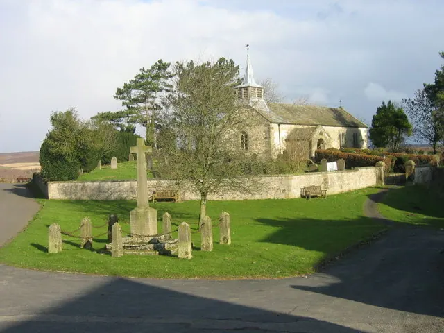
© Les Hull · Geograph · CC BY-SA 2.0
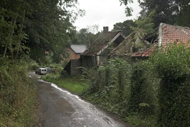
© Colin Grice · Geograph · CC BY-SA 2.0
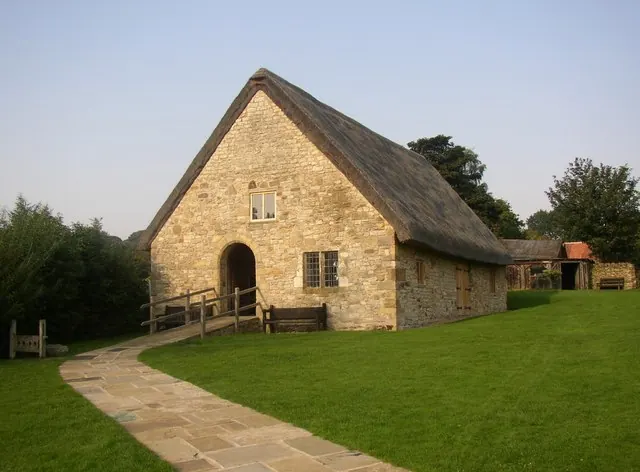
© Humphrey Bolton · Geograph · CC BY-SA 2.0
Images © their respective photographers, licensed under CC BY-SA 2.0 and reused here with attribution. Photographs depict listed buildings, churches and monuments near this settlement and may show neighbouring villages.
Data derived from the Open Domesday project (opendomesday.org), based on the Domesday Book dataset compiled by Professor J.J.N. Palmer and team. The Domesday Book (1086) is in the public domain.
Found an inaccuracy? [email protected]