Huntington in the Domesday Book (1086)
The 1086 Domesday survey records the settlement of Huntington, entered under the hundred of Bulford in Yorkshire. The survey assessed Huntington at 2 carucates of taxable land.
Most significantly, Huntington is recorded as waste in 1086 - land rendered uninhabitable and valueless. Before the Conquest, the settlement had been assessed at 3 shillings; by 1086 that value had collapsed entirely. This pattern - prosperity before 1066, devastation by 1086 - is the unmistakable signature of the Harrying of the North , William I’s campaign of systematic destruction across Yorkshire in 1069–70.
The survey lists 2 manors at Huntington under different lords. Splitting a single settlement between multiple tenants was common across the North – Saxon estates broken up and handed to William’s followers after 1066.
Resources Recorded at Huntington (1086)
- Meadow: 2.5 acres
- Woodland: 3 * 1 leagues
Other Settlements in Bulford
- Aldwark
- Alne
- Barnby [House]
- Barton [le Willows]
- Beningbrough
- Bossall
- Brafferton
- Brandsby
- Bulmer
- Buttercrambe
- Carlton [Farm]
- Claxton
- Coneysthorpe
- Corburn
The Meaning of the Name
The name Huntington is of Anglo-Saxon origin. Its final element derives from the Old English word tūn, a farmstead or village. The first element is most likely a personal name or an early descriptive term, now difficult to recover with certainty. Taken together the name probably meant something close to ‘a farmstead’.
Remarkably, the name has changed little since 1086, when the Domesday scribes wrote it as Huntington.
Listed Buildings Near Huntington
Historic England records 50 listed buildings within about a mile of Huntington. Listing protects structures of special architectural or historic interest, graded I (exceptional), II* (particularly important) and II.
Grade II*
- Church of All Saints - 0.34 km
Grade II
- Vyner Cottage - 0.21 km
- 71, the Old Village - 0.24 km
- The Village Cross - 0.3 km
- Prospect House - 0.32 km
- 34, the Old Village - 0.45 km
- 3, the Old Village - 0.56 km
- The Rectory - 0.73 km
- Rose Cottage - 0.78 km
- 98-104, Chestnut Grove - 0.96 km
- 77-83, Chestnut Grove - 0.97 km
- 90-96, Chestnut Grove - 0.99 km
- 14-18, Sycamore Place - 1.0 km
- 73 and 75, Chestnut Grove - 1.0 km
- 19 and 20, Sycamore Place - 1.01 km
- 82-88, Chestnut Grove - 1.01 km
- 65-71, Chestnut Grove - 1.02 km
- 5-9, Sycamore Place - 1.04 km
- 1-7, Sycamore Avenue - 1.05 km
- 74-80, Chestnut Grove - 1.05 km
- 70 and 72, Chestnut Grove - 1.06 km
- 3 and 4, Sycamore Place - 1.06 km
- 9-17, Sycamore Avenue - 1.06 km
- 2 and 4, Sycamore Avenue - 1.08 km
…and 26 more listed structures in the area.
Huntington Today
Today Huntington lies within the administrative area of City of York, and the settlement recorded a population of 9,630 at the 2021 census. Nine and a half centuries separate that figure from the small rural community the Domesday survey recorded here in 1086.
Read more about modern Huntington on Wikipedia .
Nearby Domesday Settlements
Other places recorded in the 1086 survey within a few miles:
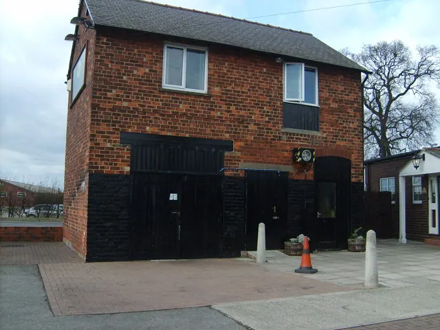
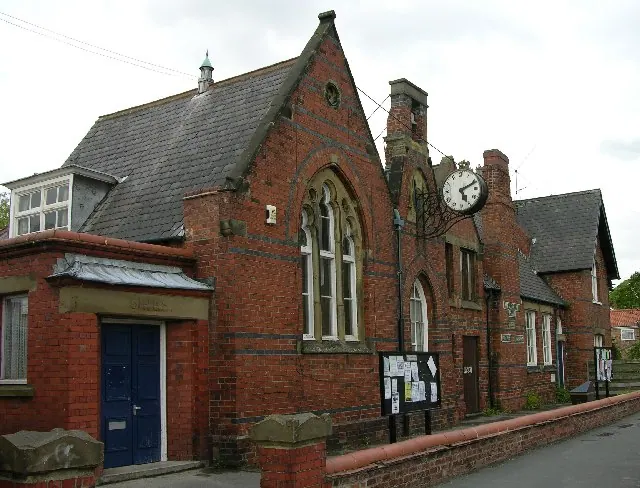
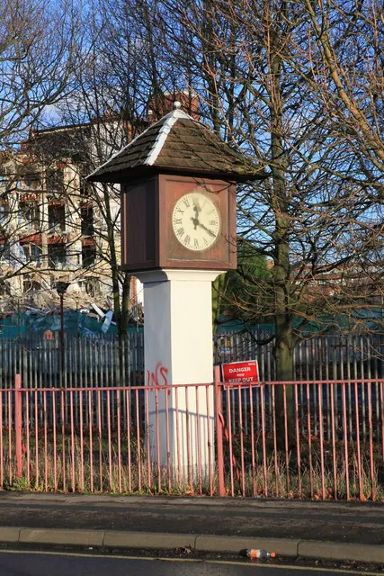
Heritage Around Huntington
Photographs of churches, listed buildings and monuments in the vicinity, contributed by volunteers to the Geograph project and reused here under a Creative Commons licence.
© Cathy Brown · Geograph · CC BY-SA 2.0
© Stuart and Fiona Jackson · Geograph · CC BY-SA 2.0
© Michael Jagger · Geograph · CC BY-SA 2.0
Images © their respective photographers, licensed under CC BY-SA 2.0 and reused here with attribution. Photographs depict listed buildings, churches and monuments near this settlement and may show neighbouring villages.
Data derived from the Open Domesday project (opendomesday.org), based on the Domesday Book dataset compiled by Professor J.J.N. Palmer and team. The Domesday Book (1086) is in the public domain.
Found an inaccuracy? [email protected]