Hunshelf Hall in the Domesday Book (1086)
Hunshelf Hall appears in the Domesday Book of 1086, entered under the hundred of Staincross in Yorkshire.
Other Settlements in Staincross
- Adlingfleet
- Barnby [Hall]
- Barnsley
- Barugh
- Brierley
- Carlton
- Cawthorne
- Chevet
- Clactone
- Clayton [West]
- Darton
- Dodworth
- Hemsworth
- Hoyland [Swaine]
The Meaning of the Name
The origin of the name Hunshelf Hall is not securely established from its modern form alone; like many settlement names in the North it likely combines an Old English or Old Norse personal name with a landscape term.
Remarkably, the name has changed little since 1086, when the Domesday scribes wrote it as Hunshelf Hall.
Listed Buildings Near Hunshelf Hall
Historic England records 16 listed buildings within about a mile of Hunshelf Hall. Listing protects structures of special architectural or historic interest, graded I (exceptional), II* (particularly important) and II.
Grade II*
- Huthwaite Hall - 1.25 km
Grade II
- Hunshelf Hall and Attached Gateway - 0.27 km
- Berton Under Edge Farmhouse - 0.5 km
- Barn and Stable to West of Berton Under Edge Farmhouse - 0.5 km
- Cartsheds to South of Berton Under Edge Farmhouse - 0.52 km
- Stocks Approximately 30 Metres North East of the Rock Public House - 0.62 km
- Thurgoland Wire Works at River Mill Farm - 0.94 km
- Barn Approximately 5 Metres to South of Dean Head Farmhouse - 0.98 km
- Dean Head Farmhouse - 0.99 km
- Briery Busk Farmhouse and Cottages - 1.0 km
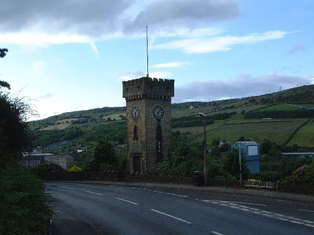
- Stocksbridge War Memorial Clock Tower - 1.16 km
- Farmbuilding Approximately 3 Metres South West of Huthwaite Farmhouse - 1.23 km
- Former Stable Range Approximately 10 Metres West of Huthwaite Farmhouse - 1.24 km
- Milepost approximately 20 metres east of junction with Park Drive - 1.25 km
- Brew House Huthwaite Farmhouse Garage Old Brewhouse - 1.25 km
- Farm Building at North End of Farmyard at Huthwaite Farm - 1.26 km
Scheduled Monuments Near Hunshelf Hall
Scheduled monuments are nationally important archaeological sites given legal protection. 1 lies within roughly a mile of Hunshelf Hall:
Hunshelf Hall Today
Today Hunshelf Hall lies within the administrative area of Barnsley, and the settlement recorded a population of 345 at the 2021 census. Nine and a half centuries separate that figure from the small rural community the Domesday survey recorded here in 1086.
Read more about modern Hunshelf on Wikipedia .
Nearby Domesday Settlements
Other places recorded in the 1086 survey within a few miles:
- Thurgoland - 2.2 km NE
- Roughbirchworth - 2.2 km NW
- Wortley - 3.0 km E
- Clactone - 3.0 km N
- Oxspring - 3.0 km N
- Waldershelf - 3.2 km S
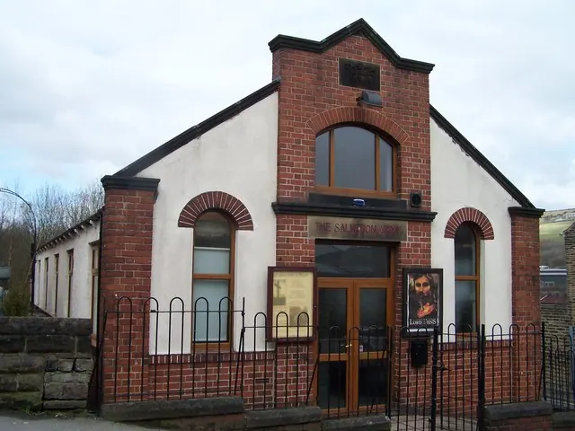
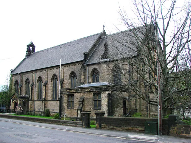
Heritage Around Hunshelf [Hall]
Photographs of churches, listed buildings and monuments in the vicinity, contributed by volunteers to the Geograph project and reused here under a Creative Commons licence.
© Robin Phillips · Geograph · CC BY-SA 2.0
© Terry Robinson · Geograph · CC BY-SA 2.0
© Bill Henderson · Geograph · CC BY-SA 2.0
Images © their respective photographers, licensed under CC BY-SA 2.0 and reused here with attribution. Photographs depict listed buildings, churches and monuments near this settlement and may show neighbouring villages.
Data derived from the Open Domesday project (opendomesday.org), based on the Domesday Book dataset compiled by Professor J.J.N. Palmer and team. The Domesday Book (1086) is in the public domain.
Found an inaccuracy? [email protected]