Hunmanby in the Domesday Book (1086)
The settlement of Hunmanby is recorded in William I’s Domesday survey of 1086, entered under the hundred of Torbar in Yorkshire.
Other Settlements in Torbar
- Argam
- Brigham
- Burton [Fleming]
- Elestolf
- Elmswell
- Estolf
- Folkton
- Fordon
- Foston [on the Wolds]
- Garton [on the Wolds]
- Gembling
- Ledemare
- Muston
- Nafferton
The Meaning of the Name
The name Hunmanby is of Scandinavian origin. Its final element derives from the Old Norse word bý, a farmstead or village. The first element is most likely a personal name or an early descriptive term, now difficult to recover with certainty. Taken together the name probably meant something close to ‘a farmstead’.
Names of this type are a fingerprint of Scandinavian settlement: they cluster across the old Danelaw, where Norse-speaking settlers renamed or founded villages from the late 9th century onward.
Remarkably, the name has changed little since 1086, when the Domesday scribes wrote it as Hunmanby.
Listed Buildings Near Hunmanby
Historic England records 31 listed buildings within about a mile of Hunmanby. Listing protects structures of special architectural or historic interest, graded I (exceptional), II* (particularly important) and II.
Grade II*
- Church of All Saints - 0.03 km
- Hunmanby Hall - 0.22 km
Grade II
- William Richardson Memorial Approximately 1 Metre East of All Saints Church - 0.01 km
- Wrangham House - 0.04 km
- 3, Bridlington Street - 0.05 km
- Coach House Approximately 3 Metres to North-east of Wrangham House - 0.06 km
- White Swan Inn - 0.07 km
- K6 Telephone Kiosk at Junction With Stonegate - 0.09 km
- Mill Farmhouse - 0.09 km
- Castle House Farmhouse and Brownridge Cottage - 0.09 km
- Denmark House - 0.11 km
- Telford House - 0.12 km
- Hunmanby War Memorial - 0.12 km
- Northgate House - 0.13 km
- Market Cross - 0.13 km
- Osgodby House - 0.14 km
- Chestnut House - 0.14 km
- Dovecote and attached stable to rear (east) of 10 Northgate - 0.14 km
- 12, Northgate - 0.15 km
- Pontreve - 0.18 km
- Stable Block Approximately 10 Metres North of Hunmanby Hall - 0.2 km
- Bay View Farmhouse - 0.21 km
- Prospect House - 0.21 km
- Norcote - 0.25 km
…and 7 more listed structures in the area.
Scheduled Monuments Near Hunmanby
Scheduled monuments are nationally important archaeological sites given legal protection. 1 lies within roughly a mile of Hunmanby:
- Hunmanby Castle motte and bailey - 0.17 km
Hunmanby Today
Today Hunmanby lies within the administrative area of Scarborough, and the settlement recorded a population of 3,215 at the 2021 census. Nine and a half centuries separate that figure from the small rural community the Domesday survey recorded here in 1086.
Read more about modern Hunmanby on Wikipedia .
Nearby Domesday Settlements
Other places recorded in the 1086 survey within a few miles:
- Muston - 2.0 km N
- Ricstorp - 2.0 km N
- Scloftone - 2.0 km N
- Scolfstona - 2.0 km N
- East and West Flotmanby - 2.8 km NW
- Reighton - 3.6 km SE
Heritage Around Hunmanby
Photographs of churches, listed buildings and monuments in the vicinity, contributed by volunteers to the Geograph project and reused here under a Creative Commons licence.
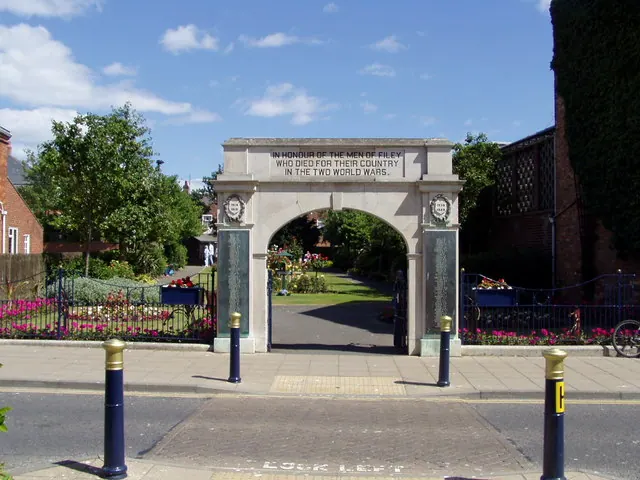
© HENRY CLARK · Geograph · CC BY-SA 2.0
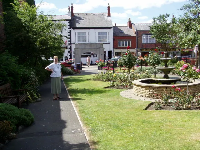
© HENRY CLARK · Geograph · CC BY-SA 2.0
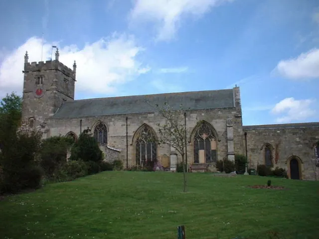
© Darren Haddock · Geograph · CC BY-SA 2.0
Images © their respective photographers, licensed under CC BY-SA 2.0 and reused here with attribution. Photographs depict listed buildings, churches and monuments near this settlement and may show neighbouring villages.
Data derived from the Open Domesday project (opendomesday.org), based on the Domesday Book dataset compiled by Professor J.J.N. Palmer and team. The Domesday Book (1086) is in the public domain.
Found an inaccuracy? [email protected]