Hundulfthorpe Farm in the Domesday Book (1086)
The settlement of Hundulfthorpe Farm is recorded in William I’s Domesday survey of 1086, entered under the hundred of Yarlestre in Yorkshire.
Other Settlements in Yarlestre
- Arden [Hall]
- Asenby
- Bagby
- Baxby
- Bergebi
- Berghebi
- Bernebi
- Boltby
- Breckenbrough
- Carlton [Husthwaite]
- Carlton [Miniott]
- Catton
- Coxwold
- Crakehill
The Meaning of the Name
The name Hundulfthorpe Farm is of Scandinavian origin. Its final element derives from the Old Norse word þorp, an outlying or secondary farmstead. The first element is most likely a personal name or an early descriptive term, now difficult to recover with certainty. Taken together the name probably meant something close to ‘a outlying farm’.
Names of this type are a fingerprint of Scandinavian settlement: they cluster across the old Danelaw, where Norse-speaking settlers renamed or founded villages from the late 9th century onward.
Remarkably, the name has changed little since 1086, when the Domesday scribes wrote it as Hundulfthorpe Farm.
Listed Buildings Near Hundulfthorpe Farm
Historic England records 1 listed building within about a mile of Hundulfthorpe Farm. Listing protects structures of special architectural or historic interest, graded I (exceptional), II* (particularly important) and II.
Grade II
- Castle Farm - 1.3 km
Scheduled Monuments Near Hundulfthorpe Farm
Scheduled monuments are nationally important archaeological sites given legal protection. 1 lies within roughly a mile of Hundulfthorpe Farm:
Nearby Domesday Settlements
Other places recorded in the 1086 survey within a few miles:
- North Kilvington - 2.0 km W
- Felixkirk - 2.2 km SE
- Upsall - 2.2 km NE
- Knayton - 2.2 km NW
- Kirby Knowle - 2.8 km NE
- Marderby Hall - 2.8 km SE
Heritage Around Hundulfthorpe [Farm]
Photographs of churches, listed buildings and monuments in the vicinity, contributed by volunteers to the Geograph project and reused here under a Creative Commons licence.
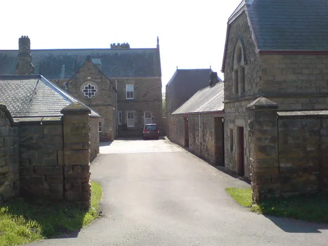
© Frank Glover · Geograph · CC BY-SA 2.0
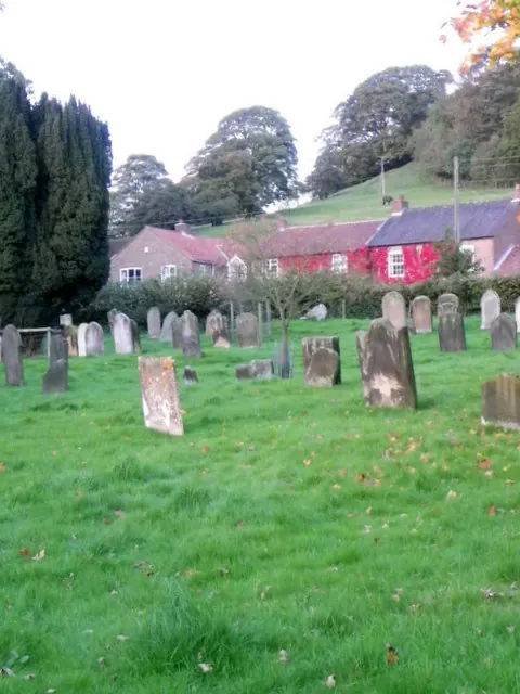
© Maigheach-gheal · Geograph · CC BY-SA 2.0
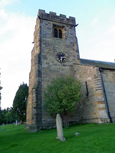
© Maigheach-gheal · Geograph · CC BY-SA 2.0
Images © their respective photographers, licensed under CC BY-SA 2.0 and reused here with attribution. Photographs depict listed buildings, churches and monuments near this settlement and may show neighbouring villages.
Data derived from the Open Domesday project (opendomesday.org), based on the Domesday Book dataset compiled by Professor J.J.N. Palmer and team. The Domesday Book (1086) is in the public domain.
Found an inaccuracy? [email protected]