Hubberholme in the Domesday Book (1086)
Hubberholme appears in the Domesday Book of 1086, entered under the hundred of Craven in Yorkshire.
Other Settlements in Craven
- Addingham
- Airton
- Anley
- Appletreewick
- Arncliffe
- Arnford
- Barnoldswick
- Bashall [Eaves]
- Battersby [Barn]
- Beamsley
- Birkby [Hall]
- Bogeuurde
- Bolton [Abbey]
- Bolton [by Bowland]
The Meaning of the Name
The name Hubberholme is of Scandinavian origin. Its final element derives from the Old Norse word holmr, an island or patch of raised ground in marsh. The first element is most likely a personal name or an early descriptive term, now difficult to recover with certainty. Taken together the name probably meant something close to ‘a island’.
Names of this type are a fingerprint of Scandinavian settlement: they cluster across the old Danelaw, where Norse-speaking settlers renamed or founded villages from the late 9th century onward.
Remarkably, the name has changed little since 1086, when the Domesday scribes wrote it as Hubberholme.
Listed Buildings Near Hubberholme
Historic England records 7 listed buildings within about a mile of Hubberholme. Listing protects structures of special architectural or historic interest, graded I (exceptional), II* (particularly important) and II.
Grade II*
- Church of St Michael and All Angels - 0.21 km
Grade II
- Sundial Approximately 5 Metres South of the Chancel of the Church of St Michael - 0.22 km
- Church Farmhouse - 0.22 km
- Bridge Over River Wharfe - 0.26 km
- The George Inn - 0.29 km
- Outbuilding Approximately 5 Metres Southwest of the George Inn - 0.29 km
- Scar House - 0.6 km
Scheduled Monuments Near Hubberholme
Scheduled monuments are nationally important archaeological sites given legal protection. 2 lie within roughly a mile of Hubberholme:
- Cairn on scar above Hubberholme, 380m south east of Slades Swallow Hole - 0.54 km
- Packhorse bridge across Crook Gill, 530m south west of Mount Pleasant Farm - 0.99 km
Hubberholme Today
Today Hubberholme lies within the administrative area of Buckden.
Read more about modern Hubberholme on Wikipedia .
Nearby Domesday Settlements
Other places recorded in the 1086 survey within a few miles:
- Litton - 4.5 km SW
- Starbotton - 5.0 km SE
- Arncliffe - 7.1 km S
- Kettlewell - 7.8 km SE
- Hawkswick - 8.5 km S
- Crooksby Barn - 9.2 km NE
Heritage Around Hubberholme
Photographs of churches, listed buildings and monuments in the vicinity, contributed by volunteers to the Geograph project and reused here under a Creative Commons licence.
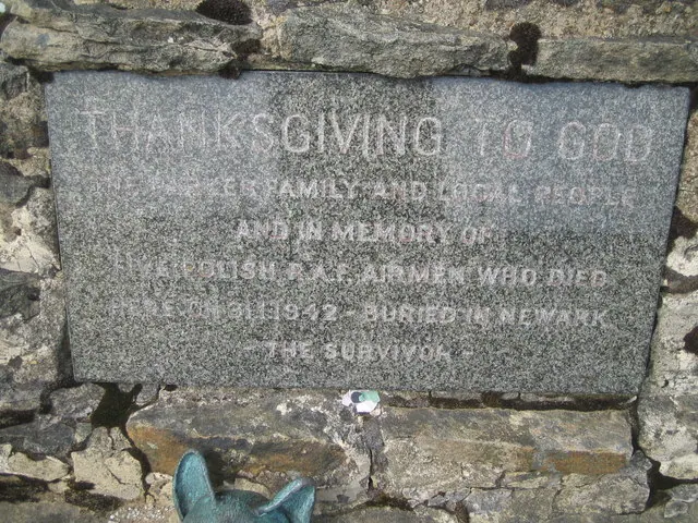
© Allan Friswell · Geograph · CC BY-SA 2.0
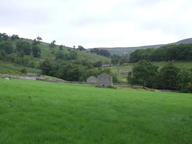
© Peter McDermott · Geograph · CC BY-SA 2.0
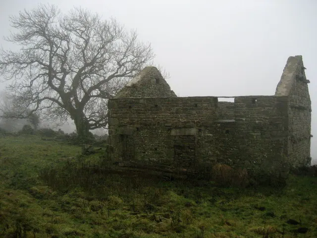
© Chris Heaton · Geograph · CC BY-SA 2.0
Images © their respective photographers, licensed under CC BY-SA 2.0 and reused here with attribution. Photographs depict listed buildings, churches and monuments near this settlement and may show neighbouring villages.
Data derived from the Open Domesday project (opendomesday.org), based on the Domesday Book dataset compiled by Professor J.J.N. Palmer and team. The Domesday Book (1086) is in the public domain.
Found an inaccuracy? [email protected]