Hovingham in the Domesday Book (1086)
The settlement of Hovingham is recorded in William I’s Domesday survey of 1086, entered under the hundred of Maneshou in Yorkshire.
Other Settlements in Maneshou
- Amotherby
- Ampleforth
- Appleton [le Street]
- Beadlam
- Brawby
- Broughton
- Cawton
- Coulton
- Fadmoor
- Fryton
- Gillamoor
- Gilling [East]
- Griff [Farm]
- Grimston
The Meaning of the Name
The name Hovingham is of Anglo-Saxon origin. Its final element derives from the Old English word hām, a homestead or village. The first element is most likely a personal name or an early descriptive term, now difficult to recover with certainty. Taken together the name probably meant something close to ‘a homestead’.
Remarkably, the name has changed little since 1086, when the Domesday scribes wrote it as Hovingham.
Listed Buildings Near Hovingham
Historic England records 49 listed buildings within about a mile of Hovingham. Listing protects structures of special architectural or historic interest, graded I (exceptional), II* (particularly important) and II.
Grade I
- Hovingham Hall - 0.2 km
Grade II*
- Church of All Saints - 0.26 km
Grade II
- Park House - 0.02 km
- Gate Piers at West End of Park Street - 0.06 km
- Bramcote - 0.06 km
- Drinking Fountain and Curved Wall Immediately East of Gate Piers at West End of Park Street - 0.07 km
- The Vicarage With Piers and Railings to Park Street (North) and Gate Piers and Wall to Church Street (West) - 0.08 km
- The Cottage - 0.08 km
- 10, Park Street - 0.09 km
- Holmside - 0.1 km
- Clifford House - 0.11 km
- 4, Park Street - 0.11 km
- 2, Park Street - 0.12 km
- The Village School and Schoolmaster’s House and Railings Around Property - 0.16 km
- Worsley Arms Farmhouse and Cottage - 0.16 km
- Lumley House - 0.16 km
- Worsley Arms Hotel - 0.17 km
- Coach House to Worsley Arms Hotel - 0.2 km
- The Stone House - 0.2 km
- Hall Green Cottage and Stables - 0.22 km
- Tomb to Members of Stockton Family Approximately 7 Metres South of Church of All Saints - 0.24 km
- Wall to East and North of Hovingham Hall - 0.25 km
- Restaurant Myse and Home Cottage - 0.25 km
- Hovingham War Memorial - 0.25 km
…and 25 more listed structures in the area.
Scheduled Monuments Near Hovingham
Scheduled monuments are nationally important archaeological sites given legal protection. 5 lie within roughly a mile of Hovingham:
- Round barrow 560m north west of Wath Farm - 0.65 km
- Round barrow 700m north of Moor House Farm - 1.26 km
- Round barrow 500m NNW of Moor House Farm - 1.49 km
- Round barrow 530m north of Wool Knoll - 1.49 km
- Round barrow 550m NNW of Wool Knoll - 1.56 km
Hovingham Today
Today Hovingham lies within the administrative area of North Yorkshire, and the settlement recorded a population of 376 at the 2021 census. Nine and a half centuries separate that figure from the small rural community the Domesday survey recorded here in 1086.
Read more about modern Hovingham on Wikipedia .
Nearby Domesday Settlements
Other places recorded in the 1086 survey within a few miles:
- Hawade - 1.0 km E
- Wath - 1.0 km E
- Fryton - 2.0 km E
- Cawton - 2.2 km NW
- Stonegrave - 2.2 km NW
- Wiganthorpe Hall - 3.0 km S
Heritage Around Hovingham
Photographs of churches, listed buildings and monuments in the vicinity, contributed by volunteers to the Geograph project and reused here under a Creative Commons licence.
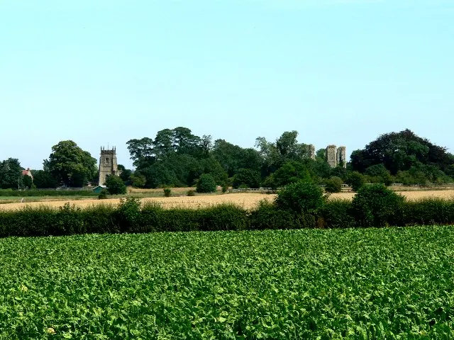
© Roger Gilbertson · Geograph · CC BY-SA 2.0
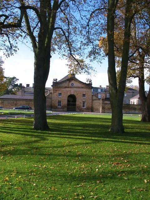
© Gordon Hatton · Geograph · CC BY-SA 2.0
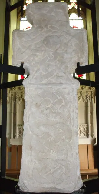
© Matthew Hatton · Geograph · CC BY-SA 2.0
Images © their respective photographers, licensed under CC BY-SA 2.0 and reused here with attribution. Photographs depict listed buildings, churches and monuments near this settlement and may show neighbouring villages.
Data derived from the Open Domesday project (opendomesday.org), based on the Domesday Book dataset compiled by Professor J.J.N. Palmer and team. The Domesday Book (1086) is in the public domain.
Found an inaccuracy? [email protected]